.JPG)
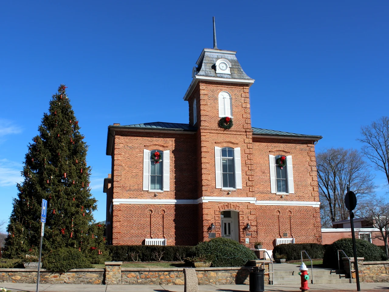
Brevard, North Carolina
The squirrels are white. Not albino - the eyes are dark, not pink - but the white variant of the eastern gray squirrel, scampering through downtown trees and along the gutters of historic Main Street in a small Blue Ridge town where the rainfall rivals the Pacific Northwest. Theories about how they arrived vary. One says an overturned carnival truck released the founding pair. Another says somebody's escaped pets bred with the native population. Brevard, North Carolina, has settled on celebrating them either way - the annual White Squirrel Festival each May features a mascot named Pisgah Pete and includes city ordinances that legally protect the squirrels from being trapped or harmed.
Named for a Revolutionary Doctor
The North Carolina General Assembly created Transylvania County on February 15, 1861, from parts of Jackson and Henderson counties, and required a county seat conveniently accessible to its citizens. The town that became Brevard was named for Colonel Ephraim Brevard, M.D., a Revolutionary War veteran reputed to have helped draft the Mecklenburg Declaration of Resistance in 1775. The county name comes from the Latin trans (across) plus sylvania (woods) - 'across the woods,' a name with a Carpathian echo that the town has leaned into ever since. Halloweenfest takes over downtown on the last Saturday of October, with a Flight of the Vampires 5K, costume contests, ghost tours and a haunted house. Twilight Tour in December closes the streets for a Christmas parade between Brevard High School and Brevard College, with horse-drawn carriages and luminaries lighting the way.
The Wettest Town East of the Cascades
Brevard sits in an Appalachian temperate rainforest, with a climate that borders between humid subtropical and oceanic. Rain falls year-round, lifted by orographic effect off the Blue Ridge Mountains and the Great Balsam Mountains immediately west of town. It is one of the wettest places in the United States outside the Pacific Northwest. There is no dry season, though fall arrives drier than the others. Small amounts of snow come most winters. The wet climate feeds the surrounding national forest - Pisgah National Forest's entrance is on the edge of town - and the dense rhododendron and mountain laurel that line every trail. Looking Glass Falls, Sliding Rock, Hooker Falls, Triple Falls and dozens more waterfalls plunge through the surrounding woods, fed by the same rain that soaks Brevard's roof gutters.
The Brevard Music Center
Every summer, the population swells when the Brevard Music Center brings hundreds of advanced music students together with professional faculty for seven weeks of intensive training and public performances. Founded in 1936, the institute has launched the careers of musicians who later filled orchestras across the country, and its summer concerts draw audiences from across the region. Brevard College, a four-year liberal arts institution founded in 1853 (with roots even older), anchors the town's academic life year-round, while Blue Ridge Community College maintains a campus here as well. The town's compact downtown - Main Street remains the central spine - holds the kind of independent bookshops, breweries, outdoor outfitters and restaurants that small Blue Ridge tourist towns have learned to perfect.
The Bliss Photographer
Charles O'Rear, born in 1941, moved to Brevard in 2017 after a long career as a photographer for National Geographic. In January 1996, driving through the hills near the Napa-Sonoma county line in California, he pulled over and snapped a photo of green hills under a blue sky scattered with cumulus clouds. He sold it to a stock photo library. Microsoft bought it in 2000 for a sum O'Rear has called the second-largest single licensing fee for a photograph in history. The image became the default desktop wallpaper for Windows XP - viewed, by some estimates, more than any other photograph ever taken. The man who made the most-seen photograph in human history chose Brevard for his retirement. Brevard has produced a striking number of notable people for its size of 7,744 residents - the comedian Moms Mabley, the bluegrass musician Woody Platt, Major League Baseball players Cliff Melton, Gil Coan and Champ Osteen, and a Romanian sister city named Pietroasa in Bihor County.
From the Air
Located at 35.24 degrees N, 82.73 degrees W at the entrance to Pisgah National Forest in western North Carolina. Elevation roughly 2,230 feet MSL. Best viewed at 4,500-6,500 feet MSL. Heavy rainfall and low cloud common - check current weather. The Blue Ridge Escarpment rises sharply to the southwest; the Great Balsam Mountains form a wall to the northwest. Nearest airports: Asheville Regional (KAVL, 15 nm northeast), Transylvania County (TBR, 2 nm east, single runway 9/27), Greenville-Spartanburg International (KGSP, 40 nm southeast). Brevard forms part of the Asheville-Brevard, NC combined statistical area with Asheville and Hendersonville. The Blue Ridge Parkway runs along the high country to the north.
Nearby Stories
- Pickens County, South Carolina 12 km away
- Great Smoky Mountains National Park 15 km away
- Arrowhead Monument 16 km away
- Wilma Dykeman RiverWay Plan 20 km away
- Camp Wadsworth 26 km away
- Green River (North Carolina) 27 km away
- Great Smoky Mountains: The Park That Gets More Visitors Than Anywhere 45 km away
- Dahlonega, Georgia 79 km away