
Cape Charles Lighthouse
The sea has eaten two lighthouses at Cape Charles and nearly took a third. The first tower, a 55-foot masonry stub completed in 1828, stood too short and too close to the surf. The 150-foot brick conical tower that replaced it in 1864 was raised a mile inland from the old stub, but by the 1890s the Atlantic was again at its base, devouring 37 feet of shoreline a year. The jetties failed. The bricks fell. By July 1927 the second tower toppled into the ocean. The third stands there still, on a remote marshy island that few will ever visit.
Tallest in Virginia
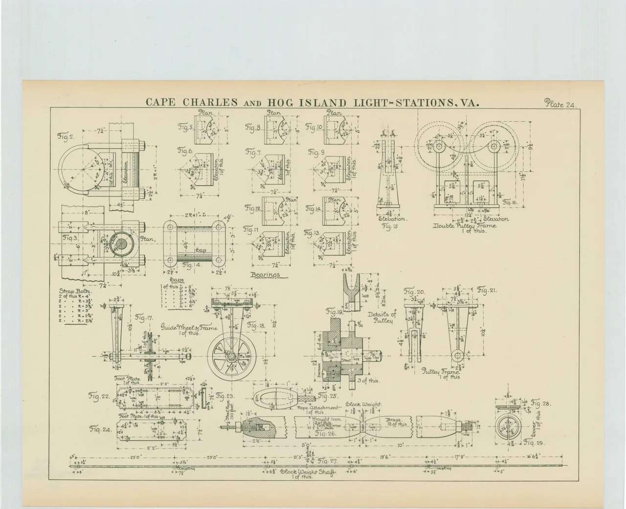
The current Cape Charles Lighthouse is an octagonal cast-iron skeleton tower 191 feet tall, the tallest in Virginia and the second tallest in the United States. Eight massive legs surround a central iron tube; inside that tube, a spiral staircase of 216 treads climbs to the generator room, with another seventeen steps lifting the keeper to the watch room above. The tower is painted white, the upper rooms a contrasting black, all of it visible across the Chesapeake from cruising ships and the bridge tunnel that now spans the bay. The decision to build a skeleton rather than another masonry cone came down to two things: cost and confusion. A bid of $78,200 was accepted in the 1890s to construct identical 191-foot skeletal towers at Cape Charles and Hog Island, twenty miles to the north. The design was cheaper than the conical Cape Henry pattern and distinct enough that the two would not be mistaken for each other from sea.
A Number to Remember
Lt. Frederick Mahan of the Lighthouse Board had a notion that every coast light should carry a numerical signature, like a fire bell stroking out the identity of a burning building. Cape Charles got a 4-5. The first-order Fresnel lens, installed in June 1895, made a complete revolution every thirty seconds, producing four quick flashes, a three-second darkness, then five more flashes, then sixteen seconds of black. A mariner counting the pulses could be certain where he was. "By this method," Mahan maintained, "the light is identified absolutely." The cost of grinding such custom lenses killed the program before it spread. Only two were ever installed: the 4-5 at Cape Charles and the 1-4-3 at Minots Ledge in Massachusetts. When the lens at Cape Charles proved too fast to read at distance, the rotation was halved on June 1, 1896. The flashes slowed, the signature held.
The Second Tower's End
When the new tower lit up in August 1895, the second Cape Charles light went dark. Its first-order lens was crated up and moved to the Hog Island Light, twenty miles north. The keeper's quarters emptied. The Army borrowed the abandoned tower during World War I as a coastal observation post, scanning for German submarines that came to the Virginia Capes hunting merchant ships. After the war the tower stood alone, the Atlantic still rising at its feet. On July 2, 1927, after years of patient undermining by the sea, the second Cape Charles Lighthouse toppled into the ocean. The brick that had been raised in 1864 to outlast erosion lay in pieces on the bottom. The third tower, three quarters of a mile inland, watched from its skeleton legs.
The Slow Going Dark
The original Fresnel lens was retired in 1963 when the lighthouse was automated, and a brighter DCB-224 aerobeacon took its place. The keepers left. The lens itself now sits in the Mariners' Museum in Newport News. By the 1990s a Vega VRB-25 solar beacon was doing the work. On July 13, 2000, a brush fire swept across Smith Island and consumed the 1895 head keeper's dwelling, a wooden privy, and a storage shed. The assistant keepers' houses had been torn down around 1960. In 2013 the light went out and was never repaired. The Coast Guard officially decommissioned the Cape Charles Lighthouse in 2019. It stands now on a marsh on a barrier island reachable only by shallow-draft boat, weathered, unlit, in poor condition, visible from the Chesapeake Bay Bridge Tunnel and from the air, but closed to the public who might want to see it up close.
From the Air
Cape Charles Lighthouse stands on Smith Island at 37.12N, 75.91W, on the marshy southern tip of the Virginia barrier island chain at the mouth of the Chesapeake Bay. The 191-foot octagonal skeleton tower is visible from 3,000-5,000 feet AGL in clear conditions, painted white with a black lantern room. Look for it just north of the Chesapeake Bay Bridge Tunnel as you cross the bay mouth. Nearest airports: KMFV (Accomack County), KSBY (Salisbury Regional) to the north, and KORF (Norfolk International) to the southwest. The barrier island chain stretching north makes a useful coastal navigation reference.
Nearby Stories
- Old Dominion University 3.4 km away
- Poquoson, Virginia 9 km away
- Hungars Church 14 km away
- SS Monroe (1902) 20 km away
- Norwegian Lady Statues 20 km away
- SMS Ostfriesland 59 km away
- Point Lookout Light 67 km away
- Steamship Pulaski Disaster 139 km away