
Poquoson, Virginia
The name survived everything English colonists could throw at it. They tried to scrub Algonquian words from the maps, petitioned to rename the parish and the river, but 'Poquoson' - roughly, 'great marsh' - kept showing up in land records and stuck. The city of 12,460 people at the southern edge of York County is now one of the oldest continuously named places in Virginia, and one of the few that still wears a word the Powhatan Confederacy left behind. Locally they call themselves Bull Islanders. Outsiders think it's about cattle. It's also a fair description of the place: a peninsula barely above sea level, 78 square miles of which 80% is water, named for the salt marsh that has always been the actual city.
Great Marsh, Great Argument
Pocosin - 'low marshy woody place, covered by water in winter but dry in summer' - was an Algonquian word the local Native American peoples used to describe the country itself. The Powhatan Confederacy held the Virginia Peninsula when English colonists arrived; relations with the early settlers were defensive, sometimes hostile, and the colonists' petition to drop Indigenous names from the parish and river was part of the long effort to erase the prior owners. The word stuck anyway. The earliest written reference to Poquoson comes from a colonial land grant in 1631, when Christopher Calthorpe received 500 acres in 'New Poquoson' from what would become Elizabeth City County. That area, just outside today's city limits, is still called Calthrop Neck. The land had been opened for English settlement in 1628 by colonists from Kecoughtan, the Algonquian village Sir Thomas Gates had taken in 1610 and which eventually became the City of Hampton.
Charles River Shire and the Civil War's First Battle
When the eight original shires of Virginia were created in 1634, this land sat inside Charles River Shire. The shire and the river got renamed York in 1642-43 - the English rewriting their own English names this time. For the next three hundred years Poquoson grew as a tight rural community of York County: farmers, watermen, log canoe builders, oyster buy-boat captains, Chesapeake Bay deadrise work boats coming in and out of the marshes. Independence was won eight miles north at Yorktown in 1781. One of the first land battles of the American Civil War, Big Bethel, was fought eight miles southwest on June 10, 1861. The next spring, McClellan's Peninsula Campaign came up this same ground. Confederate General John B. Magruder anchored his first defensive line on the north with a redoubt at Ship Point near the mouth of the Poquoson River. When the Confederates abandoned the position in 1862, the Union Army turned it into a supply depot and hospital. Poquoson men served on both sides; Wesley Messick was crewing the ironclad CSS Virginia at the Battle of Hampton Roads.
The Town That Wanted Its Own High School
Poquoson became an incorporated town in 1952 for a specific reason: the residents wanted to keep their own high school open instead of busing their children to York High School across the county. When the town was incorporated, the small predominantly African American community of Cary's Chapel was left just outside its limits in York County - a boundary that excluded Black residents from the new town. In 1975 Poquoson became an independent city, partly to maintain that arrangement, partly to shield itself from potential annexation by the City of Hampton. Independent cities in Virginia exist outside any county, though Poquoson still shares its courts, sheriff, and jail with York County more than thirty years later. The 'Bull Island' nickname goes back to centuries of letting cattle graze loose in the salt marshes. The cattle are long gone, the family farms mostly gone, but the locals still answer to 'Bull Islander.' The high school mascot is the Bull Islander.
Living on Water
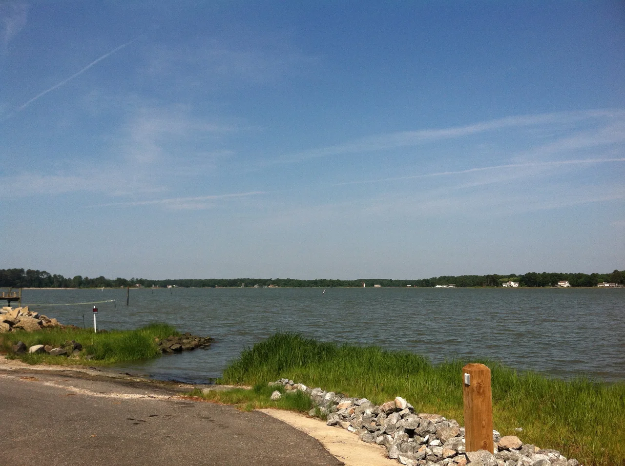
The city sits between the Poquoson River on the north, the Back River and Wythe Creek on the south, the Chesapeake Bay on the east, and York County on the west - a peninsula barely above sea level. When storms come, they come hard. Hurricane Isabel in September 2003 caused the worst flooding the Hampton Roads region had seen since the 1933 Chesapeake-Potomac hurricane. Most of Poquoson went underwater. Six years later the November 2009 Mid-Atlantic nor'easter flooded it again. Hurricane Irene in 2011 triggered a mandatory evacuation. Many Poquoson houses now stand on raised foundations, lifted above the storm surge line their owners have learned to plan for. The Plum Tree Island National Wildlife Refuge protects the marsh ecosystems Poquoson is built around. The Poquoson Museum, founded in 2003 on a 16-acre parcel with a circa-1900 farmhouse and a country store called Miss Becky's, added a 750-foot raised marsh walk in April 2013 to take visitors through the wetlands the city is named for. Kitty O'Brien Joyner - NASA's first female engineer - lived here with her husband while working at nearby NASA Langley.
From the Air
Poquoson sits at 37.1332 N, 76.3739 W, a low-lying peninsula city occupying 20 square miles of land and 63 square miles of water at the southeast tip of York County. The city is bounded by the Poquoson River (north), Back River and Wythe Creek (south), Chesapeake Bay (east), and York County (west). From 2,500 feet, the marsh patterns are dramatic - extensive saltwater wetlands stretching east into Plum Tree Island National Wildlife Refuge. Langley AFB (KLFI) is 4 nm south-southwest - active fighter base, Class D airspace, avoid surface area without coordination. Newport News/Williamsburg International (KPHF) is 11 nm west. Norfolk International (KORF) is 18 nm south across Hampton Roads.
Nearby Stories
- Hungars Church 1.3 km away
- Cape Charles Lighthouse 6.7 km away
- CSS Virginia 11 km away
- White House (plantation) 12 km away
- Flowerdew Hundred Plantation 17 km away
- Battle of Gwynn's Island 17 km away
- Nat Turner's Rebellion 22 km away
- False Cape State Park 37 km away