.jpg)
Cataviña
There is a stretch of Baja California Highway 1 where the landscape becomes something almost planetary. Enormous granite boulders, worn smooth by eons of desert wind, erupt from the earth alongside towering cardon cacti. Cirio trees — also called boojum trees — twist toward the sky in shapes that seem impossible. In the middle of all this, the small town of Cataviña appears like a mirage, offering fuel, shade, and a base from which to explore one of the most remote and visually striking corners of Mexico.
The Road Through Nowhere
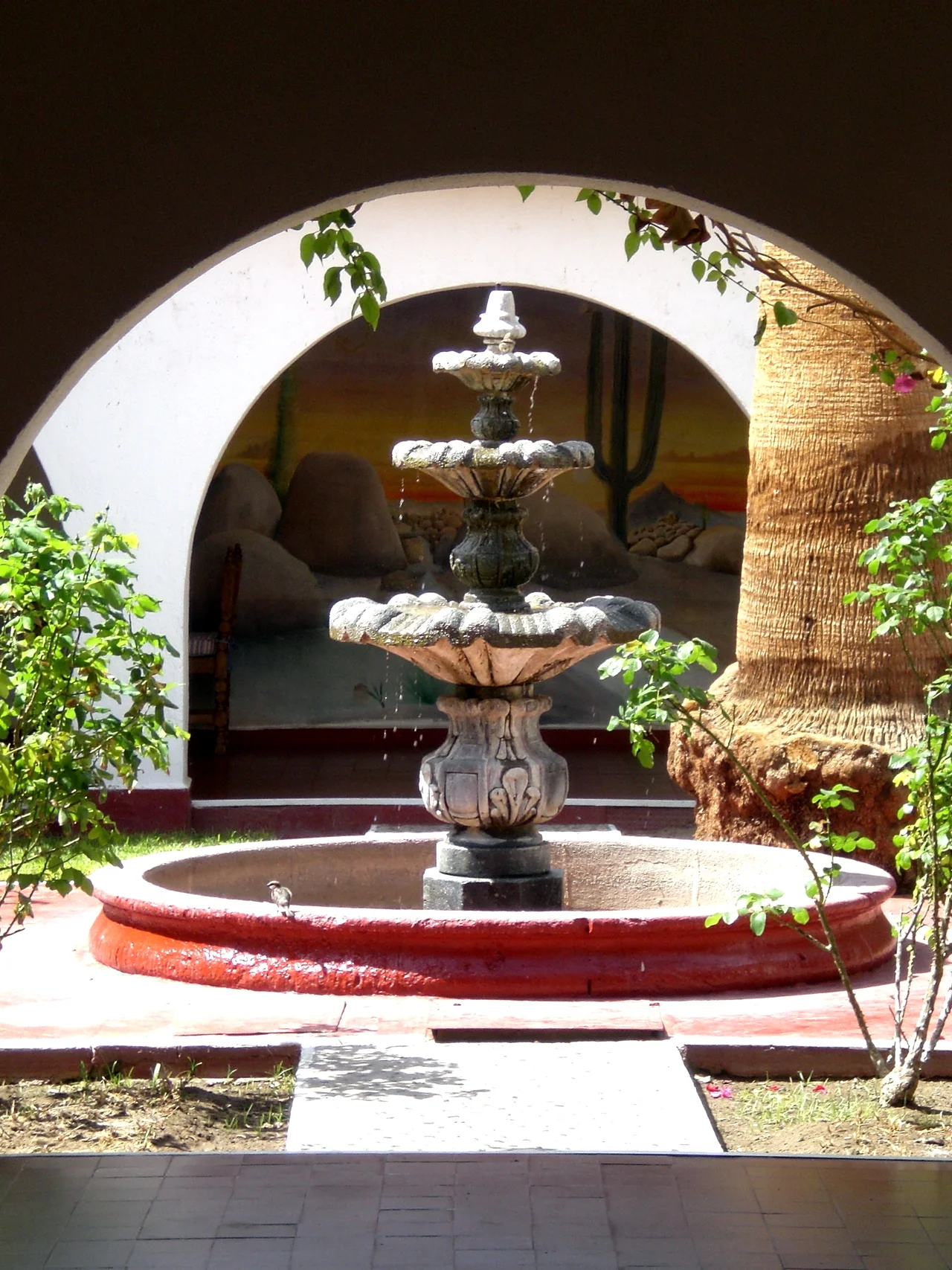
Cataviña sits 118 kilometers south of El Rosario and 106 kilometers north of the junction for Bahía de los Ángeles, straddling the long mid-peninsula solitude of Highway 1. For travelers driving the full length of Baja — a journey measured not in hours but in days — it is one of the only reliable stops in this stretch. The town is a community ejido, meaning the surrounding Rancho Santa Inés is held communally by its residents. A government-developed hotel, built under Mexico's National Fund for Tourism promotion program, provides first-rate accommodations unusual for such an isolated location. Gas is a different story: the Pemex station has permanently closed, and private vendors sell fuel from 55-gallon barrels at a premium. Experienced Baja travelers fill their tanks in El Rosario and do not count on Cataviña.
Stone and Shadow
The boulder field surrounding Cataviña is the town's main draw and its defining character. These are not scattered rocks but massive formations, piled and stacked as if placed by hand, creating labyrinths of shadow and light that shift dramatically through the day. Within the boulders and in the walls of nearby canyons are cave paintings attributed to indigenous peoples of the region — simple figures, animals, and abstract forms left on the rock centuries before Spanish missionaries arrived. The paintings survive because this landscape is one of the least-disturbed in all of Baja: too remote for easy development, too arid for comfortable habitation. Visiting them typically requires a short hike and ideally a local guide who knows the terrain.
Desert Ecology at Its Strangest
Few landscapes in North America look quite like the one around Cataviña. The Baja California desert here sits within the Sonoran Desert's western margins, but it has its own character. Cirio trees — the boojum, as Americans often call them — grow nowhere else on earth except here and a small population in Sonora. They look like upside-down carrots, tapering at the top with sparse thorny branches. Cardon cacti, the world's largest cacti by height, stand alongside them. Elephant trees, with their fat pale trunks storing water, complete the alien picture. The cave paintings, the boulder mazes, the bizarre flora — together they make Cataviña one of the most rewarding stops on the Baja highway, for those willing to slow down and look.
Two Missions Nearby
Cataviña's surroundings hold more history than its size suggests. Within reasonable distance lie two colonial-era missions that mark the furthest extent of Spanish evangelization in Baja California. Misión Santa María de los Ángeles, the last Jesuit mission founded before the Society of Jesus was expelled from New Spain in 1767, lies to the east. Misión San Fernando Rey de España de Velicatá, founded in 1769 by Junípero Serra on the eve of his push into Alta California, stands to the northwest. Both missions are in ruins today, but visiting them requires navigating rough unpaved roads — a reminder that the region's remoteness is not a recent condition.
From the Air
Cataviña is located at approximately 29.73°N, 114.72°W in central Baja California. The distinctive boulder field and sparse desert vegetation are visible from low altitudes. The nearest airport with any regular service is at San Felipe (ICAO: MMSF), roughly 120 km to the northeast. Approach this area at 5,000–8,000 feet MSL to appreciate the full landscape.
Nearby Stories
- Puertecitos 35 km away
- San Lorenzo Marine Archipelago National Park 149 km away
- Cedros Island 156 km away
- 2012 Boeing 727 Crash Experiment 258 km away
- Laguna Salada 287 km away
- Guadalupe Island Biosphere Reserve 291 km away
- Gulf of California 297 km away
- Battle of Stanwix Station 330 km away