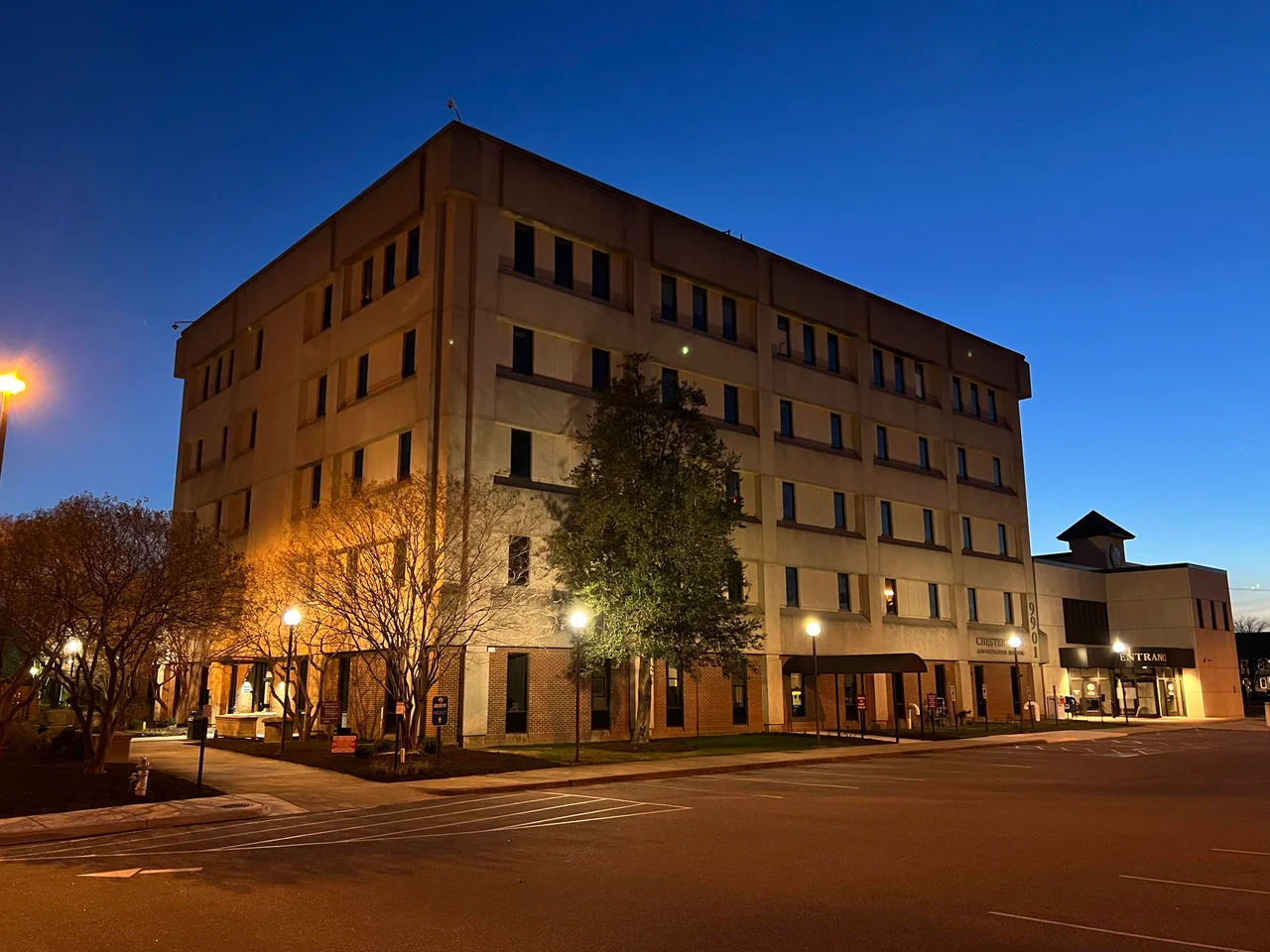

Chesterfield County, Virginia
There is a particular kind of geographic luck in being the county between two rivers. Chesterfield County sits in the cradle of the James and the Appomattox, just south of Richmond, where the rocky Piedmont falls away into the sandy Coastal Plain. That fall line - the place where ships could go no farther upriver - made everything else happen. The first ironworks in what would become the United States rose on Falling Creek in 1619. Coal was discovered around 1701 by Huguenot refugees. The first railroad in Virginia, the Chesterfield Railroad, opened in 1831 to haul that coal. The brand of cigarettes Americans smoked through two world wars borrowed its name from the county. And in 2024, a Massachusetts startup picked a stretch of Chesterfield ground for the world's first grid-scale commercial fusion reactor. Five hundred years from now, historians may still be sorting through what happened here.
The Earl Who Never Came
Chesterfield County split from Henrico County on May 25, 1749, and was named for Philip Stanhope, 4th Earl of Chesterfield, an English politician then famous for his polished writings and impeccable manners. The Earl never visited. He probably never thought about the place much at all. But his name traveled - first to the county, then a century and a half later to Chesterfield Cigarettes, which adopted it because the company's tobacco was grown nearby. Before any of that, there had been Henricus, founded in 1611 under Sir Thomas Dale on a neck of land later called Farrars Island - a 5,000-acre site with seven miles of James River shoreline, protected by a palisade across the 174-yard-wide neck. Henricus had three streets, a church, a hospital, a college planned to educate both English children and Virginia Indians. In 1622, in the Powhatan uprising led by Opechancanough, the settlement was destroyed and the ironworks at Falling Creek with it. Neither was rebuilt for generations.
Coal, Rails, and the First Railroad
Around 1701, French Huguenot refugees in the Midlothian area found coal seams running through the Piedmont. By 1709, William Byrd II was writing in his diary that "the coaler found the coal mine very good and sufficient to furnish several generations." The estimate was correct. Commercial mining began in the 1730s, and the coal fueled the cannon-making at Westham during the Revolution. The challenge was always transport: how to get the coal from the mines around Midlothian down to the docks at Manchester, across the James from Richmond. The answer came in 1831 with the Chesterfield Railroad - the first railroad in Virginia. It ran by gravity going down (laden with coal) and was pulled back up by mules. The Wooldridge brothers, who ran one of the mining companies, had named their venture Mid-Lothian after the East and West Lothian regions in Scotland they had emigrated from. The community name came from the company. By the 1850s, the Richmond and Danville Railroad had absorbed the Chesterfield line's traffic, and the older railroad went out of business.
The Civil War Crucible
During the Civil War, Chesterfield's geography turned strategic again. Drewry's Bluff on the James became the key defensive point blocking Union gunboats from steaming up the river to Richmond. During the Siege of Petersburg (1864-1865), a long line of trenches and earthworks ran through the county - part of the Richmond-Petersburg defensive line. When Petersburg fell in April 1865, Richmond's fall followed within days. After the war, a normal school founded by the state to educate freed Black men eventually became Virginia State University, in the Ettrick area near Petersburg and Colonial Heights. Reconstruction-era Chesterfield used convict labor to build roads starting in 1878, a practice that would persist for decades and that disproportionately conscripted Black Virginians into forced labor under the legal fiction of a sentence.
Annexation and the Voting Rights Suit
Chesterfield's twentieth century included one of the most consequential annexation fights in Virginia history. The City of Richmond had been chipping away at the county for decades when, in 1969, the so-called Horner-Bagley Compromise transferred 23 square miles - including 47,262 residents, mostly white - from Chesterfield to Richmond. Some Black Richmonders objected: the annexation diluted the Black share of the city's electorate from 52 percent to 42 percent, and they argued in federal court that this violated the Voting Rights Act of 1965. They won. The court ordered Richmond to abandon its at-large city council elections and create a nine-ward system, ensuring four predominantly Black wards. The case became a national landmark in voting rights enforcement. Many of the annexed residents themselves had opposed the move and fought for seven years to have it reversed. Some called their tract "Occupied Chesterfield." The schools transferred to Richmond - Huguenot High, Fred D. Thompson Middle, Elkhardt Middle, and eight elementary schools - were ordered into citywide desegregation busing in 1971.
What's Next: Fusion
In 2024, Commonwealth Fusion Systems - a Massachusetts startup spun out of MIT research - announced plans to build the world's first grid-scale commercial fusion power plant at the James River Industrial Center in Chesterfield County. The county approved the conditional use permit in 2025. The site is being prepared to host ARC, a tokamak-class reactor designed to generate net electricity from a hydrogen fuel cycle - the same physics that powers the sun, finally domesticated. If the project works, Chesterfield will once again be the place where America's energy future was tested first, the way Falling Creek tested American iron in 1619 and the Chesterfield Railroad tested American railroads in 1831. Today the county is home to 364,548 people, the fourth-most-populous in Virginia. The Powhite Parkway and I-95 and Route 60 stitch it to the surrounding region. The river fall lines still matter. Some things take a long time to change.
From the Air
Chesterfield County is centered at approximately 37.43°N, 77.55°W, bounded by the James River to the north and the Appomattox River to the south. From the air the county is unmistakable - the two rivers frame it, I-95 cuts through it longitudinally, and the Powhite Parkway (VA-76) runs east-west across the northern half. Recommended viewing altitude 5,000-10,000 feet AGL for the whole county shape; lower for individual sites like Drewry's Bluff or Pocahontas State Park. Nearest airports: Chesterfield County (KFCI) is in the county itself, Richmond International (KRIC) is just across the James, and Petersburg's Dinwiddie County (KPTB) lies to the south.
Nearby Stories
- Piney Grove at Southall's Plantation 2.5 km away
- Battle of Amelia Springs 3.5 km away
- Lewis Ginter Botanical Garden 4.3 km away
- Cactus Hill 21 km away
- Fork Union Military Academy 25 km away
- Christopher Newport University 44 km away
- Menokin 47 km away
- Long Grass Plantation 65 km away