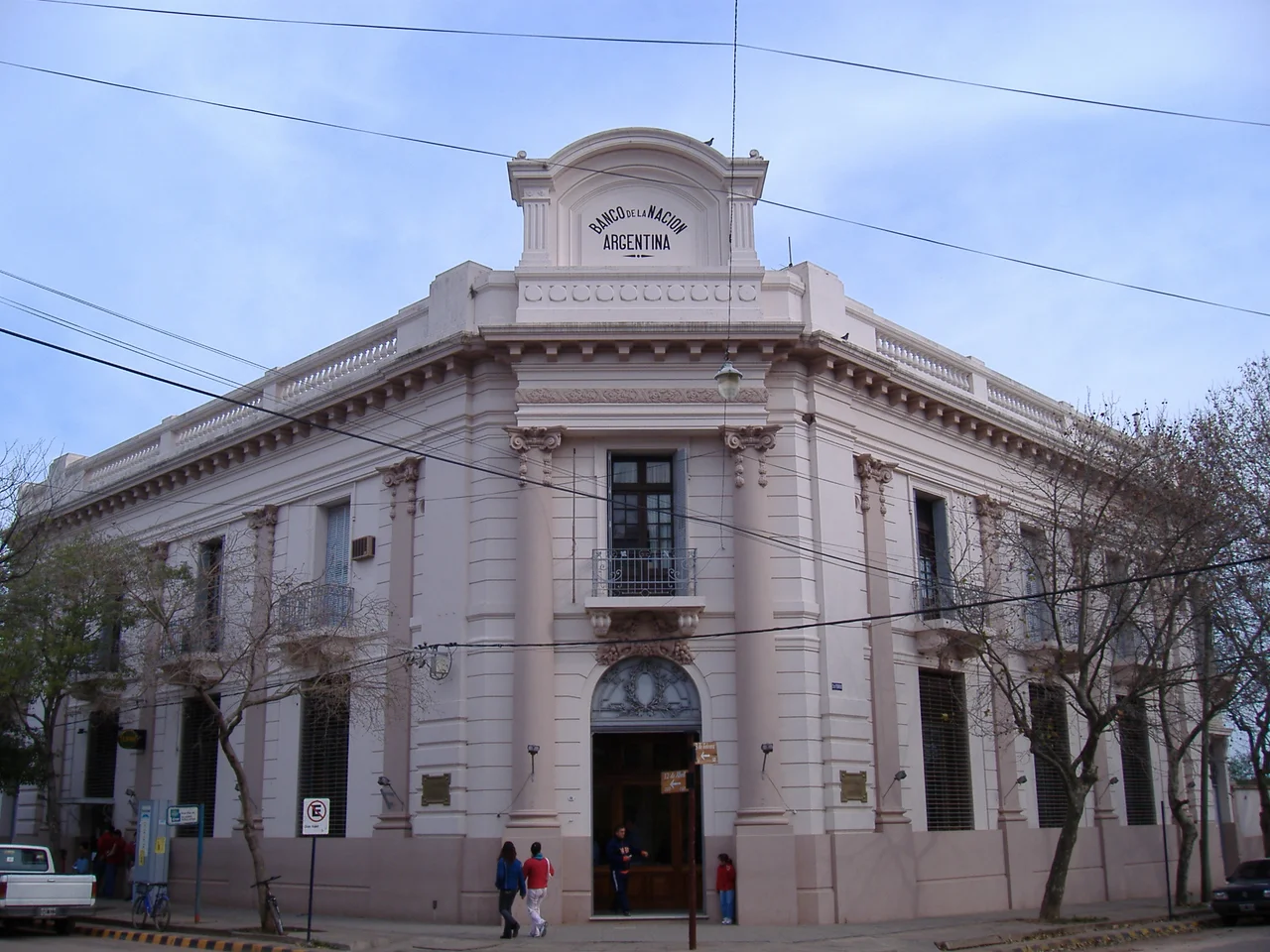

Colón, Entre Ríos
Fourteen kilometers of sand on a river is an unlikely thing in the interior of a continent, but Colón has it. The Uruguay River widens and slows here, depositing one of the longest beaches in the province along the Argentine bank, and a town of 23,000 has built a quiet vocation out of it: beaches, hot springs, a casino, and a national park of palm trees so old some of them predate the country. Across the water sits Paysandú, Uruguay, reachable by a long cantilever bridge. Colón is the kind of place people drive to in order to slow down.
A President's Town, a Swiss Foundation
Colón was founded on 12 April 1863 by General Justo José de Urquiza, the former caudillo of Entre Ríos who had become Argentina's first constitutional president. He raised it as a port to trade the produce of nearby Colonia San José, an agricultural colony he had also founded, settled in 1857 by Swiss and French immigrants who worked the land and raised livestock. As the population grew, Urquiza formalized a proper town, and the Villa de Colón was officially promulgated on 26 August 1871. The Santos Justo y Pastor Church followed in 1876. The immigrant villages around the city still wear their European origins, open to small-scale historical sightseeing.
The Provincial Capital of Tourism
Colón calls itself the Provincial Capital of Tourism, and for a city its size the title is earned. Visitors come for those long river beaches, for the thermal complex where hot mineral water fills a string of pools beside the Uruguay, for high-quality hotels and campsites, and for the casino. Rising above the town is the Parque Quirós, an elevated park laid out with fields for football, tennis, basketball, and rugby. It was built by Herminio Quirós, a national deputy who became governor of Entre Ríos, as a sports center for the city's schools, and it gives Colón a green crown overlooking the water.
Palms That Outlived Generations
About 60 kilometers from the city lies El Palmar National Park, created in 1966 to protect roughly 8,500 hectares of a vanishing landscape. Its protagonists are the yatay palms, Butia yatay, some standing up to twenty meters tall and counting more than three hundred years of growth. Once these palm savannas stretched across the region; cattle and farming erased most of them, eating the seedlings before they could mature, until a park was the only thing standing between the species and disappearance. Walking among trunks that were already old when Argentina became a nation, the scale of time the place protects is hard to ignore.
The Bridge to the Other Shore
Colón does not sit at the edge of Argentina by accident; it sits at a doorway. The General Artigas Bridge, a cantilever span 2,350 meters long inaugurated on 10 December 1975, leaps the Uruguay River to connect Colón with Paysandú on the Uruguayan side. For travelers it is the practical link between two countries, a border crossing strung across moving water. For the region it knits together a shared river culture that the political boundary down the middle of the channel never quite divided. Stand on the costanera at dusk and the bridge frames the far bank, close enough to feel like a neighbor rather than a foreign country.
From the Air
Colón sits at 32.22°S, 58.14°W on the western (Argentine) bank of the Uruguay River in eastern Entre Ríos Province, directly opposite Paysandú, Uruguay. From the air the clearest landmarks are the long riverfront beaches, the city grid, and the General Artigas Bridge crossing to the Uruguayan side just north of town. El Palmar National Park lies about 60 km away and shows as a distinctive dark stand of palm savanna along the river. Best viewed at 2,000-5,000 ft in clear conditions. Nearest airports are Comodoro Pierrestegui (SAAC) at Concordia upriver to the north, Gualeguaychú (SAAG) downriver to the south, and Tydeo Larre Borges (SUPU) across the river at Paysandú, Uruguay.
Nearby Stories
- San Javier, Uruguay 19 km away
- El Palmar National Park 20 km away
- Abadía del Niño Dios 138 km away
- Tacuarembó 162 km away
- Cayastá 164 km away
- Cisplatina 164 km away
- Battle of Pavón 179 km away
- Battle of Sarandí 191 km away