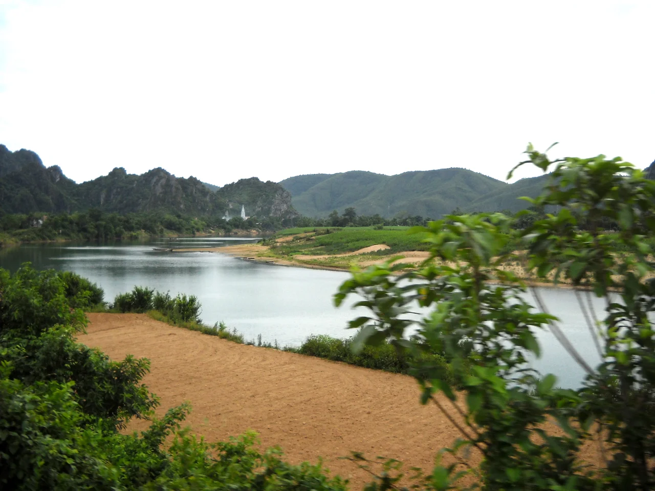

Gianh River
On the eve of Tết in January 2009, a wooden ferry rated for twenty people pushed off from the Quảng Hải bank of the Gianh carrying roughly eighty. Most were women and children going to market for the last of the Lunar New Year shopping; three of the women were pregnant. The wind was up and the current was running hard. Forty-two people drowned and five were never found. For four centuries Vietnamese history has treated the Gianh as a line on a map — a border, a truce, a partition. That afternoon it went back to being what it has always been underneath the symbolism: a hundred and sixty kilometres of moving water that people have to get across.
The River That Split a Country
In 1627 the Trịnh lords of the north and the Nguyễn lords of the south stopped pretending to share a country. What followed was not one war but seven campaigns spread across forty-five years, fought largely over the flat sandy neck of Quảng Bình, and neither side could finish the other. In 1673, with mediation from the court of the Kangxi Emperor, they agreed to stop. The border they settled on was this river — Linh Giang, 靈江, in its literary Sino-Vietnamese name.
North of it lay Đàng Ngoài, the Outer Region. South lay Đàng Trong, the Inner Region. Two governments, two armies, two systems of tax and law, one language, one people. The arrangement held for a century, long enough for families on opposite banks to become foreigners to one another. It ended on 15 November 1774, when Trịnh Sâm marched south; by February 1775 the Nguyễn capital at Huế had fallen.
Red Water, Underground Water
The Gianh rises in the Trường Sơn — the Annamite Range — near Cô Pi, a peak of 2,017 metres, and drains a basin of roughly 4,680 square kilometres before reaching the sea at Cửa Gianh. Three headwaters feed it: Rào Nậy, Rào Nan and Rào Son.
The last is the strange one. The Son runs 7,729 metres underground through the limestone of Phong Nha-Kẻ Bàng, threading the cave system that made the park famous, before surfacing and running down to join the Gianh near Ba Đồn. Its name means vermilion, the red of lipstick, because in flood season the water carries so much sediment out of the karst that it runs the colour of rust. Stand on the Gianh in autumn and you are watching a mountain go past you a few grams at a time, on its way to the sea.
The Line That Almost Came Back
Look at a map of Vietnam from 1955 and you will find another border scratched across nearly the same latitude. The 17th parallel, agreed at Geneva in 1954 as a provisional military demarcation and meant to be erased within two years, ran along the Bến Hải River in Quảng Trị — barely eighty kilometres south of the Gianh.
The coincidence is hard to miss. Twice in three hundred years the country was cut at its narrowest waist, in almost the same place, by rulers who each insisted the division was temporary. The Trịnh–Nguyễn line lasted a hundred years and was undone by a march. The Geneva line lasted from 1954 to 1975, and undoing it cost more lives than the entire Trịnh–Nguyễn War.
Eighty Aboard
There was supposed to be a bridge. Families in Quảng Hải had been told one was coming, and it had not arrived by January 2009 — which is why eighty people were standing in a boat built for twenty on a cold, windy afternoon with the water up. Thirty-six of them reached the bank alive.
Quảng Bình cancelled its Lunar New Year fireworks. The Ministry of Transport opened an investigation into who had allowed the boat to leave. Each bereaved family was offered ten million dong, about six hundred US dollars at the time, which nobody pretended was compensation for anything. Relatives told reporters, in the days afterward, that the bridge should have been finished.
Tết is the holiday when the scattered come home. The people who died on the Gianh that afternoon had gone out to buy the food for it.
From the Air
The Gianh River meets the sea at Cửa Gianh near 17.76°N, 106.42°E, on Vietnam's North Central Coast. From the air the river is unmistakable: a broad brown estuary cutting inland from a straight sand-dune coastline, then narrowing and braiding west into the limestone of the Trường Sơn. Đồng Hới Airport (VVDH, elevation 18 m) lies about 27 km south, 6 km north of Đồng Hới city; Vinh International (VVVH, elevation 6 m) is roughly 150 km north. A viewing altitude of 4,000–6,000 ft AGL follows the whole lower river and the parallel line of National Route 1. Best visibility is in the dry months from February to August; the northeast monsoon brings low cloud, drizzle and poor slant range from October through January, and the river runs visibly red during autumn floods.
Nearby Stories
- Quang Binh: The Province That Was Dissolved 8.8 km away
- Mụ Giạ Pass 20 km away
- Nguồn Language 47 km away
- Vũ Quang National Park 48 km away
- Hà Tĩnh province 54 km away
- Hien Luong Bridge 67 km away
- DMZ (Vietnam) 108 km away
- Bach Long Vi Island 242 km away