
Quang Binh: The Province That Was Dissolved
On 12 June 2025, Quang Binh stopped existing. Resolution 202 of Vietnam's National Assembly folded it into Quang Tri, its neighbor to the south, as part of a reorganization that cut the country from sixty-three provincial units to thirty-four. Little changed on the ground - the administrative center of the enlarged province is Dong Hoi, which had been Quang Binh's capital anyway - but a name that had been on Vietnamese maps since 1604 came off them. The 7,998 square kilometers it described deserve to be understood on their own terms, because almost nothing about them is average. This was the most heavily bombed province in Vietnam, one of its poorest, and the ground beneath it is the oldest major karst landscape in Asia.
The River That Cut a Country in Two
Long before the seventeenth parallel, Vietnam had a different dividing line, and it ran through here. During the Trinh-Nguyen wars of the seventeenth century, the Gianh River became the border between Dang Ngoai in the north and Dang Trong in the south, and Dong Hoi was built as a fortress to hold the Nguyen side of it. The prefecture had been called Tien Binh; in 1604 it was renamed Quang Binh, and the province proper was established in 1831. Four other major rivers drain the same short slope - the Ron, the Nhat Le, the Ly Hoa and the Dinh - all of them rising in the Truong Son range and reaching the Gulf of Tonkin within a few dozen kilometers. It is a province with no interior to speak of, only mountains, a coastal strip, and the distance between them.
Fifty Kilometers North of the Line
The 1954 Geneva Accords put the temporary boundary at the seventeenth parallel, which left Quang Binh sitting about fifty kilometers to the north of it. Geography made the province a corridor, and the corridor made it a target: Quang Binh absorbed more American B-52 bombing than any other province in Vietnam. The Ho Chi Minh trail entered Laos through its western passes, and its towns were struck from 1965 onward. What that meant for ordinary people is easiest to read in what came afterward. The hospital in Dong Hoi, built in the 1980s, was a gift from Cuba, because the province could not build one itself. In 1976 Quang Binh was merged with Quang Tri and Thua Thien into a single province called Binh Tri Thien; in 1990 the three were separated again, restored to what they had been. The 2025 merger was, in that sense, the second time the name had been retired.
Four Hundred Million Years of Limestone
The karst of Phong Nha-Ke Bang has been forming since the Paleozoic, roughly four hundred million years, which makes it the oldest major karst area in Asia. UNESCO listed the national park in 2003 for its geology, extended the listing in 2015 to cover its ecology and biodiversity, and in 2025 extended it again across the border, joining it with Hin Nam No in Laos to create a single transboundary property of 217,447 hectares. Inside it are roughly three hundred caves and grottoes, of which about 126 kilometers of passage have been surveyed - a fraction of what is thought to be there. Phong Nha Cave alone runs 7,729 meters and carries the longest known underground river in the world. Son Doong, which was not fully surveyed until 2009, turned out to be the largest cave passage on Earth. The park's caves were not a discovery so much as an ongoing correction of how much limestone can hide.
What Grows in the Gaps
Karst is difficult country, and difficult country preserves things. The park supports 381 vertebrate species, more than 750 plant species and over two hundred kinds of bird, including the Asian black bear, the Francois' langur and the saola, an antelope-like bovine so rarely seen that it was unknown to science until 1992. Ten primate species and subspecies live here, among them the Hatinh langur and the white-cheeked crested gibbon. On the bare limestone summits stands something stranger still: a five-thousand-hectare stand of Calocedrus rupestris, a cypress that grows straight out of rock, most of the trees five to six hundred years old. It is the largest forest of its kind in Vietnam, and it survives largely because nobody could get logging equipment up there.
The People and the Languages
The provincial population was around 882,500 in 2016, spread very unevenly - more than ninety percent of people live on about a tenth of the land, with the mountainous and sandy remainder nearly empty. Twenty-four ethnic groups are counted here, predominantly Kinh, alongside the Bru-Van Kieu and the Chut. Quang Binh has the highest concentration of Vietic languages anywhere in Vietnam: Vietnamese, Nguon, Arem, Maleng and Chut are all spoken within its old borders, several of them by only a few hundred people. The Bru, who number fewer than 95,000 nationwide, speak a Katuic Mon-Khmer language and live in the same western uplands the trail ran through. Economically the province was near the bottom of Vietnam's tables, with GDP per capita around US$1,500 and more than eighty percent of the population working the land. Tourism changed that arithmetic slowly, then quickly - the caves brought film crews, including the production of Kong: Skull Island, and then brought everyone else. The merged Quang Tri province now covers 12,700 square kilometers and holds roughly 1.87 million people, governed from Dong Hoi. The name is gone. The limestone is not.
From the Air
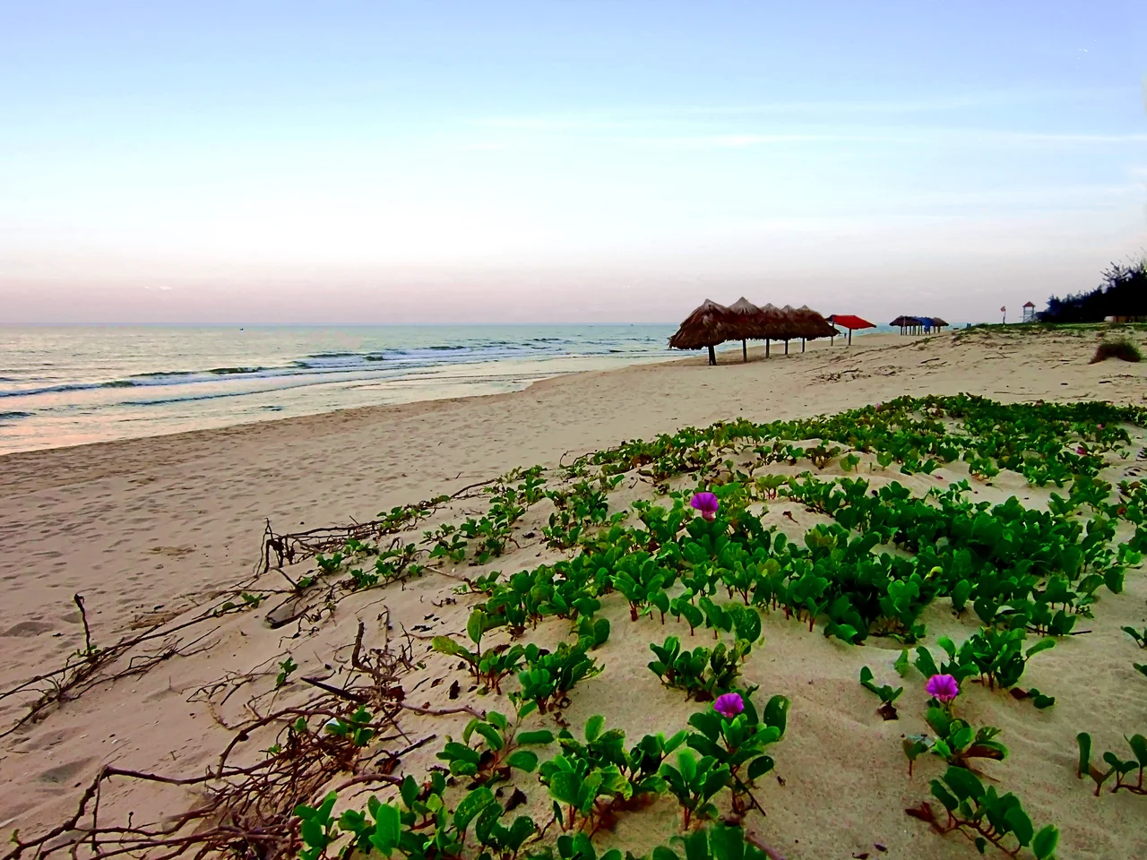
Centered near 17.50N, 106.33E, the former Quang Binh province stretches from the Gulf of Tonkin west to the Laotian border along the Annamite crest. From altitude the structure is unmistakable: a pale strip of coastal dune and beach, a narrow band of paddy and settlement, then an abrupt wall of forested karst towers running northwest to southeast. Dong Hoi Airport (VVDH) sits on the coast and is the primary field, with Vinh (VVVH) about 200 km north and Hue Phu Bai (VVPB) roughly 180 km south. The Phong Nha-Ke Bang massif lies 50 km northwest of Dong Hoi and reads as a dense field of conical limestone peaks with almost no surface drainage - the rivers are underground. Best viewed at 8,000-12,000 feet. The northeast monsoon brings heavy rain and low cloud from September to December; February through June offers the clearest air over the karst.
Nearby Stories
- Gianh River 7.6 km away
- Mụ Giạ Pass 20 km away
- Hien Luong Bridge 31 km away
- Hoằng Phúc Temple 42 km away
- National Route 9 (Vietnam) 67 km away
- DMZ (Vietnam) 69 km away
- Arem language 70 km away
- Bach Long Vi Island 279 km away