.jpg)
Great Seal State Park
Look at the Great Seal of the State of Ohio and you will see a familiar Ohio landscape: a rising sun behind a line of forested hills, with a sheaf of wheat and a bundle of arrows in the foreground. The hills are not generic. They are these hills, north of Chillicothe in Ross County, where Ohio's first state capital sat and where the 1803 convention designed the symbols of a new commonwealth. The 1,682 acres of Great Seal State Park preserve the actual view that the seal depicts. Hike up Sugarloaf Mountain at dawn and you are standing in the picture on every Ohio courthouse document.
Where Ohio Was Imagined
Chillicothe, just south of the park, was Ohio's first state capital after statehood in 1803, and the constitutional delegates who met there to write the early laws had front-row seats to the hills now inside Great Seal State Park. When they sat down to design a state seal, they did not look to mythology or to other states for inspiration. They looked out the window. The wooded ridges - Sugarloaf, Mount Logan, Bunker Hill, and the rest - became the central image, with the rising sun signifying a new state at the western edge of the country. The wheat sheaf stood for agriculture, the bundle of 17 arrows for Ohio's status as the 17th state. The seal has been redrawn and tweaked over the centuries but the landscape has stayed the same.
Hilly Country
The park encompasses the rugged transition between the flat farmland of central Ohio and the more dramatic foothills of the Appalachian Plateau. The Scioto River curves through the valley to the west, and the ridges rise abruptly from the river bottom in a series of sharp climbs. Sugarloaf Mountain, the highest point, offers panoramic views from a summit that pioneers and constitutional delegates would have recognized immediately. The forests are predominantly hardwood - oak, hickory, maple, beech - the same mix that drew Shawnee hunters and later settlers to the area. Spring brings wildflowers; autumn turns the slopes into the painted layered hills that the seal makes look perpetual.
From 7,500 Acres to 1,682
The original 1970s plans for Great Seal State Park were considerably grander - 7,500 acres, more than four times the eventual size. Area landowners objected, the state scaled back the proposal, and the park finally opened with limited access in 1979 at 1,682 acres. The compromise made the park feel less like a megaproject and more like a community trail system layered onto preserved land. Multi-use trails run through the forest for hikers, mountain bikers, and equestrians. Primitive campsites tuck into the woods for backpackers. An 18-hole disc golf course winds along the ridge tops. The Ohio Department of Natural Resources maintains the park as an everyday backyard for Chillicothe.
The Pandemic Grove
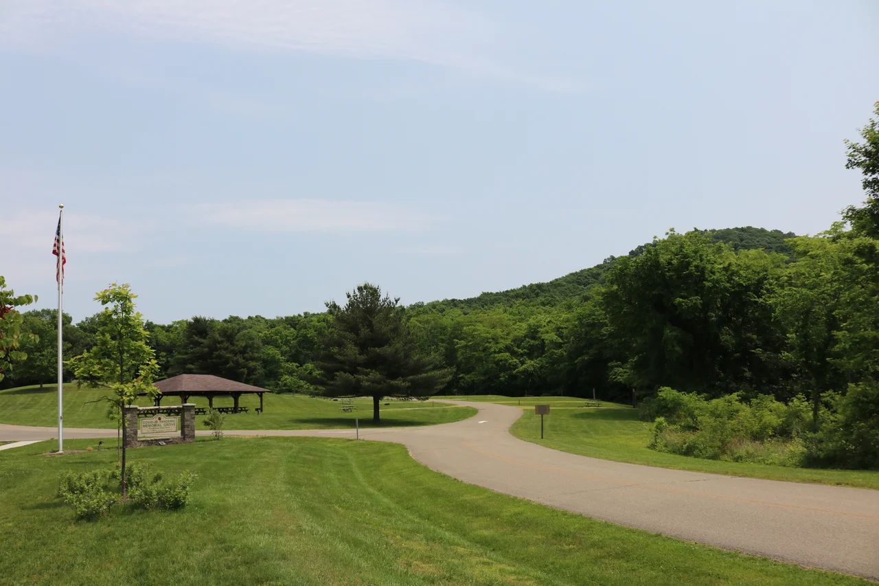
In 2021 the park added the COVID-19 Pandemic Memorial Grove, a paved walkway lined with 15 native Ohio trees planted in memory of those who died in the pandemic and in honor of those who survived. The choice of location is fitting in a quietly powerful way. The seal that inspired the park name represents Ohio at its founding, a moment of hope after revolution. The memorial grove represents an Ohio passing through grief. Both moments are held inside the same view that early lawmakers chose to carve onto every official document. A park named for a state seal becomes, decades later, a place where the state remembers its own scars.
From the Air
Located at 39.37 N, 82.94 W in Ross County, southern Ohio, about 5 miles north of Chillicothe. The hilly forested terrain stands out from the surrounding agricultural land. John Glenn Columbus International (KCMH) is about 50 miles north. Best viewed at 3,500-5,000 feet on clear days, when the rolling ridge tops of Sugarloaf and the surrounding hills are clearly visible above the Scioto Valley.
Nearby Stories
- Athens Lunatic Asylum 14 km away
- Gavin Power Plant 16 km away
- Hardin Village Site 33 km away
- The Y-Bridge of Zanesville 49 km away
- Columbus: The Test Market Where America Tries Things First 49 km away
- Ripley and the Underground Railroad 55 km away
- Wright-Patterson Air Force Base 69 km away