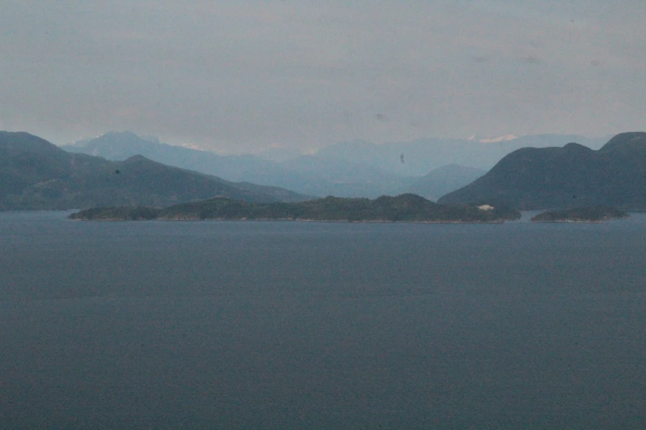

Hardy Island
Look at a chart of the Sunshine Coast and you will find Nelson Island and Hardy Island separated by about 250 metres of green water. The pairing is not an accident. On 21 October 1805, off Cape Trafalgar, Vice-Admiral Horatio Nelson was hit by a French musket ball on the quarterdeck of HMS Victory and carried below, and the man he asked for, twice, as he lay dying in the cockpit was his flag captain, Thomas Masterman Hardy. Half a century later and eight thousand kilometres away, British surveyors charting a wet, fjord-cut coast on the far side of the world set the two men down on the water side by side - and there they remain, two granite islands at the mouth of Jervis Inlet, still keeping the same distance.
The Captain in the Cockpit
Hardy was the steady one. He had walked the quarterdeck of Victory beside Nelson through the approach at Trafalgar, in full view of French sharpshooters in the tops, and when Nelson was carried below he came down twice to report on the battle. The exchange between them is among the most quoted in naval history and, in the account Hardy himself left, entirely unambiguous: Nelson asked Hardy to kiss him, and Hardy did - once on the cheek, then again on the forehead. "Now I am satisfied," Nelson said. He did not live much longer. Hardy did: created a baronet in January 1806, made First Naval Lord in 1830, appointed Governor of Greenwich Hospital in 1834, and dead there in September 1839 at seventy. But the Royal Navy had already carried both names into its charts, and they travelled together as far as this coast.
Where the Inlet Lets Go
Hardy Island covers 7.25 square kilometres of rock and second-growth forest, and its position is more interesting than its size. Jervis Inlet - 89 kilometres long, 670 metres deep at its deepest, the deepest fjord on the British Columbia coast - reaches the open sea here, and the island’s northwestern corner forms the eastern side of that outlet. North and west, fjord. South, the tidal push of Malaspina Strait, with the long profile of Texada Island beyond it. East, Blind Bay, and beyond that Nelson Island. In practice Hardy Island sits exactly where cold, steep, mountain-walled water gives up being a fjord and becomes ordinary coastal strait, and the weather does not always make that transition gracefully.
Blind Bay in a Southeaster
Which is why Blind Bay matters far out of proportion to its size. Malaspina Strait is a funnel, and when a winter southeaster sets up in it, the water in the strait becomes a short, hard, unpleasant chop that tugboats hauling log booms cannot safely work in. Blind Bay, tucked between Hardy Island and Nelson Island, is the place they duck into. It has long been an important anchorage for tugs, their tows, and pleasure craft doing the same thing for less commercial reasons - and a working anchorage in bad weather is a particular kind of scene: heavy steel boats sitting quietly in flat water, engines off, while three hundred metres away the strait is unrecognisable.
A Park With No Trails and No Water
Near the island's southern tip, together with neighbouring Musket Island, lies Hardy Island Marine Provincial Park - reached from either Malaspina Strait or Jervis Inlet through Telescope Passage, and reached only by boat. It is a marine park in the most literal sense. There are no developed trails. There is no potable water. Walk-in camping is permitted but no sites have been formalised, and the shoreline is rugged and rocky enough to make casual swimming an act of some commitment, though the water in the small protected anchorage runs unusually warm and clear for this coast. The park took its present name when the Legislative Assembly passed Bill 74 on 21 October 2004 - Trafalgar Day, 199 years to the day after the battle that put the name on the chart.
From the Air
Hardy Island lies at 49.7419 N, 124.1975 W, at the mouth of Jervis Inlet on British Columbia's Sunshine Coast. Recommended viewing altitude is 3,000-5,000 ft AGL, which keeps both the island and the mouth of the inlet in frame. From the air the geography reads clearly: the deep trench of Jervis Inlet driving northeast into the Coast Mountains, Nelson Island as the much larger landmass immediately north and east, Hardy Island tucked against its southwestern flank with the narrow gap of Blind Bay between them, and the long, low, quarry-scarred profile of Texada Island across Malaspina Strait to the southwest. Pender Harbour is roughly 15 km south along the coast. Nearest airports: CYPW (Powell River) about 30 km northwest across the strait, CYGB (Texada/Gillies Bay) on Texada Island, and CYVR (Vancouver International) about 80 km southeast. Floatplane traffic on the Vancouver-Sunshine Coast routes is frequent and low. Expect strong outflow winds down Jervis Inlet in winter and afternoon inflow in summer; the inlet can generate its own cloud when the rest of the strait is clear.
Nearby Stories
- Savary Island 2.3 km away
- Sandy Island Marine Provincial Park 5.2 km away
- Englishman River 7.7 km away
- McLean Mill National Historic Site 9.4 km away
- Powell Lake 21 km away
- Bowen Island 27 km away
- Britannia Mine and the Mountain That Bleeds 40 km away
- Whistler 61 km away