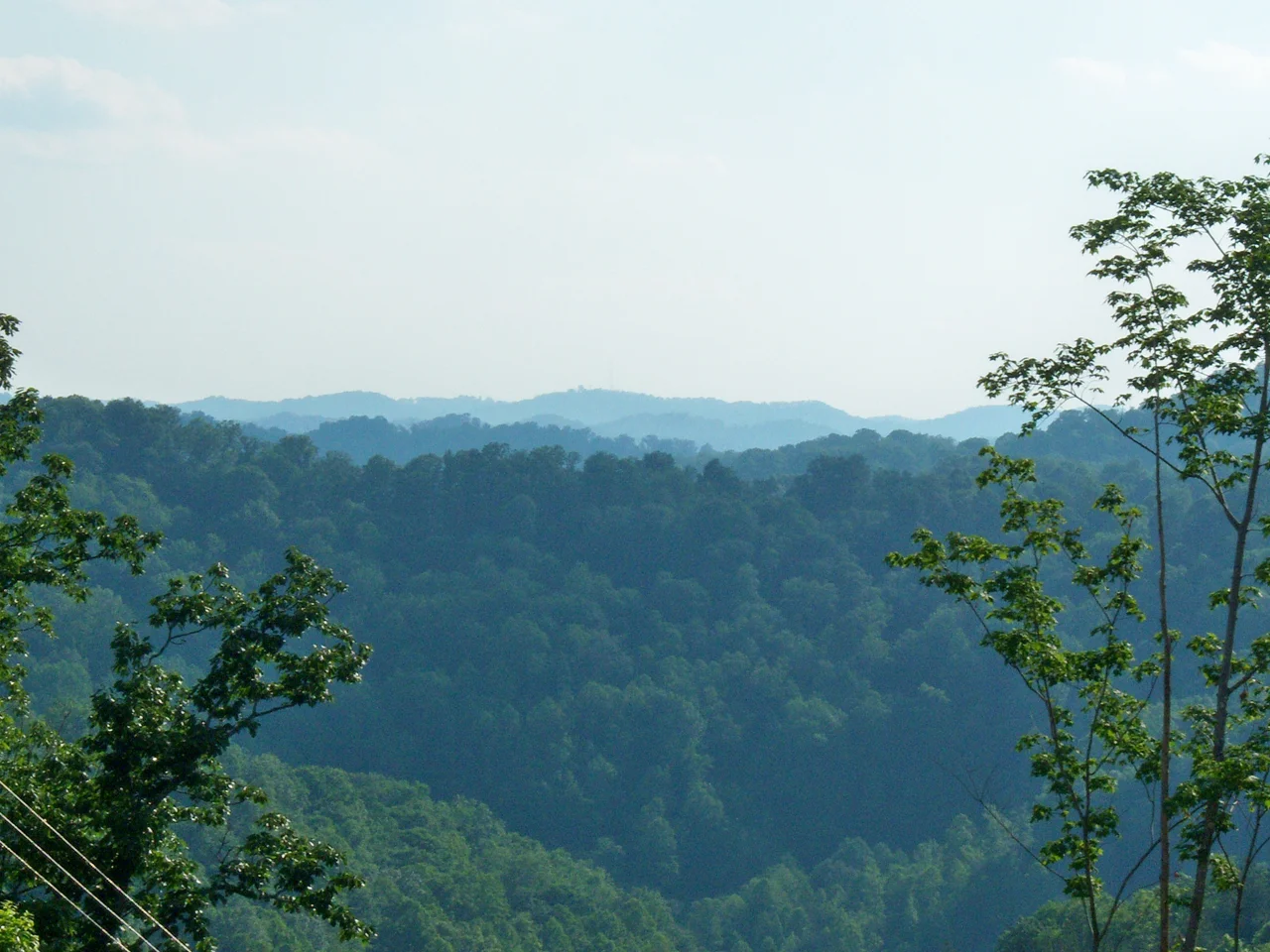

Johnson County, Kentucky
If you wanted to measure American country music by the highway it came off of, you would draw a line down U.S. Route 23 through eastern Kentucky and trace your finger along the holler creeks that empty into the Levisa Fork. Within thirty miles of Johnson County's courthouse in Paintsville, the dirt produced Loretta Lynn, her younger sister Crystal Gayle, songwriter Jim Ford, bluegrass star Hylo Brown, and Chris Stapleton. Tyler Childers went to Paintsville High. There are 22,680 people in Johnson County as of the 2020 census. The Smithsonian could fill an exhibit just with the songs they wrote.
A County Named for a Vice President
The Kentucky General Assembly carved Johnson County out of Floyd, Lawrence, and Morgan counties in February 1843 and named it for Richard Mentor Johnson - a colonel in the War of 1812 who later served as Vice President under Martin Van Buren. By the time the county was formed, Paintsville had already been a chartered town for nine years. The river bottoms had filled in with settlers from North Carolina and Pennsylvania and Virginia, many of them veterans of the Revolutionary War or their sons. A surprising number were French Huguenots whose families had fled through England and were taken for English on arrival. Mail came by horseback. Supplies came by steamboat down the Big Sandy. The first stagecoaches did not connect the Bluegrass to Johnson County until well into the 1860s. The mountains kept the world out, and after a while the world stopped trying very hard to get in.
Mayo and the Coal
Then John C. C. Mayo arrived. A schoolteacher with a sharp mind for property law, Mayo spent the 1880s and 1890s riding the hollers of eastern Kentucky buying broad-form deeds from mountain farmers - paying small sums for the mineral rights under their farms while leaving the surface in their hands. By the time anyone understood what he had done, Mayo controlled the mineral rights to enormous tracts of Appalachian coal. He partnered with industrialists to bring railroad service into the mountains, and Johnson County boomed. Mayo built a forty-three room mansion in Paintsville between 1905 and 1912 - now Our Lady of the Mountains School - and the Mayo Memorial United Methodist Church next door, designed by a hundred Italian masons he hired and outfitted with an organ donated by Andrew Carnegie. The mansion and the church both still stand on Third Street. So do the consequences of the broad-form deeds, which mountain families fought in court for the better part of a century.
The Country Music Highway
Loretta Webb was born in 1932 in Butcher Hollow, just up the road from Van Lear. Her father was a coal miner. Crystal, her youngest sister, was born in Paintsville itself in 1951. Loretta married Doolittle Lynn at fifteen and moved away, but the songs she wrote came from this county - Coal Miner's Daughter, Van Lear Rose, the whole catalog of a childhood spent in mountain poverty made beautiful. Crystal Gayle's hits went a different direction, smoother and pop-country, but the voice came from the same hollers. The U.S. 23 Country Music Highway Museum in Paintsville tells the story, exhibit by exhibit. The Coal Miners' Museum in Van Lear tells the rest of it. Tyler Childers, who attended Paintsville High School, picks up where Loretta left off. Chris Stapleton, also Johnson Central, does the same in a different key. The hollers keep producing songs.
Jenny Wiley's Long Walk
In 1789, A multi-tribal raiding party — Cherokee, Shawnee, Wyandot, and Delaware — attacked the Wiley family cabin in what is now Virginia, killing several of Jenny Wiley's children and carrying her into captivity. She escaped after eleven months and eventually settled in Johnson County, where she lived until her death in 1831. Her grave sits off Highway 581 at the community of River - one of those small Appalachian markers that carries an enormous story. The state park near Prestonsburg bears her name. The story she told became one of the foundational captivity narratives of frontier Kentucky, and like many such narratives, the truth and the legend grew tangled in the telling. What is clear is that she lived. She came to this county. She is buried here.
What the County Holds
Johnson County is a Republican county now - reliably so, with only Bill Clinton ever winning a plurality in modern times and Lyndon Johnson losing to Goldwater by twenty-two votes in 1964. It is also a moist county, dry except inside Paintsville's city limits. Stuffley Knob, at 1,496 feet, is the highest point; the Levisa Fork at the Lawrence County line, around 550 feet, is the lowest. The Forrest and Maxie Preston Memorial Bridge at River is, improbably, the world's longest plastic pedestrian bridge - 420 feet of glass-fiber polymer slung across the Levisa Fork to connect the communities of River and Offutt. The Kentucky Apple Festival has run in Paintsville every October since 1962. And U.S. 23, the Country Music Highway, still runs straight through it all, carrying the songs out.
From the Air
Johnson County sits at 37.84 degrees north, 82.83 degrees west in eastern Kentucky's coal country. The Levisa Fork winds north-south through the county, with U.S. 23 (the Country Music Highway) following the river. Best viewed from 3,500-5,000 feet AGL. Nearest airport is Big Sandy Regional (K0I8) just across the line in Martin County. Tri-State Airport (KHTS) is the nearest commercial field, 55 nm northeast in Ceredo, West Virginia. Watch for ridge turbulence on windy days.
Nearby Stories
- Big Sandy Expedition 11 km away
- Mingo Oak 19 km away
- 1993 East Carter High School Shooting 24 km away
- Morris Memorial Hospital for Crippled Children 34 km away
- 2002 Appalachian School of Law shooting 41 km away
- The Kentucky Meat Shower: When Flesh Fell From a Clear Sky 46 km away
- Battle of Blue Licks 67 km away
- Cumberland Gap 117 km away