.jpg)
Kalemie
The easiest way into Kalemie is by air, and the second easiest way is also by air. Everything else is complicated. A rail line runs up from Lubumbashi, officially two or three times a month, though a timetable in this part of the DRC is more an aspiration than a schedule. The N5 road, the main land route, slips in and out of passability depending on the rains. Boats cross Lake Tanganyika from Kigoma in Tanzania, when they are safe, which is not always. Kalemie is a traveller's town in the old sense - the one where the getting there is half the experience.
What You Came For
Kalemie sits on the western shore of Lake Tanganyika, in the Democratic Republic of the Congo, at the point where the Lukuga River slides out of the lake and begins its long, slow crawl west toward the Lualaba. The town was founded in the 1890s as a Belgian military base called Albertville. The name was changed in the 1970s, under Mobutu's Zairianisation, but the old bones of the colonial port are still there: the rail spur, the wharf, the cement works, the shaded avenues of once-grand residences, and the absolute dominance of the water. If you have never seen Lake Tanganyika, Kalemie is a good place to meet it. The lake is 673 kilometres long, the second deepest in the world, and on a calm morning the horizon dissolves into sky in a way that makes the word lake feel wrong. Inland sea is closer.
Getting In
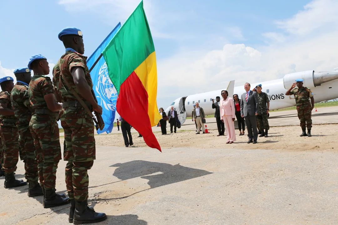
FlyCAA operates flights from Kinshasa and Lubumbashi a few times a week - by far the most reliable way to arrive. The flight from Lubumbashi, over a couple of hours of miombo woodland and the Kundelungu plateau, is itself worth the fare, with the shine of the lake rising slowly on the horizon as you descend. The rail service from Lubumbashi, run by SNCC, takes anywhere from four days to well over a week, assuming nothing breaks, which it usually does. The line's west-of-Kalemie track was destroyed by heavy rains in February 2024 and reopened eleven months later, in December. Lake ferries tie Kalemie to Kigoma (Tanzania), Mpulungu (Zambia), Uvira (northern DRC) and Bujumbura (Burundi). Safety is a perennial worry on lake services; ask locally about current conditions before you board.
What To See and Do
Kalemie is not a museum town. It is a working port, a university town (the University of Kalemie keeps the region's largest library), and a distribution hub for the minerals of Katanga. Its pleasures are the everyday ones: the morning market along the waterfront, the Marche du port with its fish from the lake; Marche Katanga Kivu and Marche Lubuye for produce and household goods; the cluster of small restaurants in the centre where Papa Senegalais and Restaurant OKAPI feed dockworkers, traders and the occasional UN staffer. Sports fans can catch matches at Stade Kitshanga or Stade Mamba, home to FC Tanganyika and FC Etoile Jaune (the Yellow Stars). Evenings drift toward DA RAISSA Resto, Rio, or the open-air setting of Village Lubuye, where the music runs until the power does.
Practicalities
For sleeping, Hotel Kalemie and Hotel TCHAM are the main options in the town centre, with Mahobilali and Quartier de la Paix offering more modest guest-house stays. Beer comes from Brasimba. Electricity comes from the Bendera hydroelectric plant (also called Kiymbi Dam), on a single transmission line that does not always cooperate. Horizon House and SNEL handle various utilities and services with the stoicism the region demands. French is the official language, but the lingua franca of the eastern Congo is Kingwana - a regional Swahili spoken from the Great Lakes all the way west to the Angolan border. A few phrases go a very long way here. If you want to continue onward, small craft work the coast south toward Moba, and a rough road runs inland to Nyunzu and beyond; Lufukwe, Lubunduye and Matafari are all reachable by hired vehicle if the rains have been kind.
From the Air
Located at 5.91 degrees south, 29.19 degrees east, on the western shore of Lake Tanganyika. Best viewed from 6,000-10,000 feet AGL on approach to Kalemie Airport (FZRF), which handles the twice-weekly FlyCAA service from Kinshasa (FZAA) and Lubumbashi (FZQA). The lake dominates the eastern horizon - 673 km long, the second-deepest lake on Earth - and the Lukuga River outflow is clearly visible cutting west from the town. Afternoon thunderstorms are common November through April; the dry season June-September offers calmer lake winds and clearer visibility.
Nearby Stories
- Mahale Mountains 14 km away
- Battle for Lake Tanganyika 65 km away
- Tanganyika Province 103 km away
- Karema, Tanzania 121 km away
- Niemba Ambush 151 km away
- Kipupu Massacre 221 km away
- Bujumbura 249 km away
- Battle of Tabora 330 km away