
Kampong Thom province
The province is named after two snakes that no longer exist. According to the story told along the Sen River, a pair of enormous serpents lived in a cave near a lakeside dock, and on every Buddhist holiday they would show themselves to the people gathered there. The place became Kampong Pous Thom — the port of the great snakes. Then the snakes stopped appearing, and over time the middle of the name fell away with them, leaving Kampong Thom: simply the great port. When the French carved Cambodia into provinces, they mostly took whatever locals were already calling a place. In this case they inherited a name with a hole in the centre of it.
Big Country, Few People
At 13,814 square kilometres, Kampong Thom is Cambodia's second-largest province, and it wears that size lightly — roughly 800,000 people spread across it at about fifty to the square kilometre. It touches almost everything: Siem Reap, Preah Vihear, Stung Treng, Kratie, Kampong Cham and Kampong Chhnang, and, along its entire western flank, the Tonle Sap. Eight districts and one municipality divide into 81 communes. The provincial seat, Stung Saen, sits on the banks of the river that gives it its name. Rising from the paddy south of the capital is Phnom Santuk, the province's holy hill: 207 metres, 809 steps, and a scatter of reclining Buddhas along the way, some carved into living rock at more than ten metres long, some poured in concrete a good deal more recently. Monks live at the summit. So do the best sunsets in the province.
Prey Lang Means Our Forest
Spilling north and east out of Kampong Thom into Preah Vihear, Kratie and Stung Treng is Prey Lang — about 3,600 square kilometres of lowland evergreen forest, the largest surviving block of its kind anywhere on the Indochinese peninsula. Around 200,000 Kuy people live in the districts that ring it, and the name is theirs: in Kuy, Prey Lang means "our forest." For generations it supplied resin, timber, medicine and food, and the resin trees in particular were tapped rather than felled, passed down within families like any other inheritance. An estimated 250,000 of those trees have been lost to logging. Part of the forest was gazetted as the Prey Lang Wildlife Sanctuary by sub-decree in 2016, though the pressures did not stop at the boundary — agribusiness plantations, mining concessions and roads all pushed in. Since 2018 the northern Prey Lang landscape has run as a REDD+ carbon project under Japan's Joint Crediting Mechanism, generating credits for more than 612,000 tonnes of carbon dioxide equivalent by late 2023.
Where the Lake Breathes
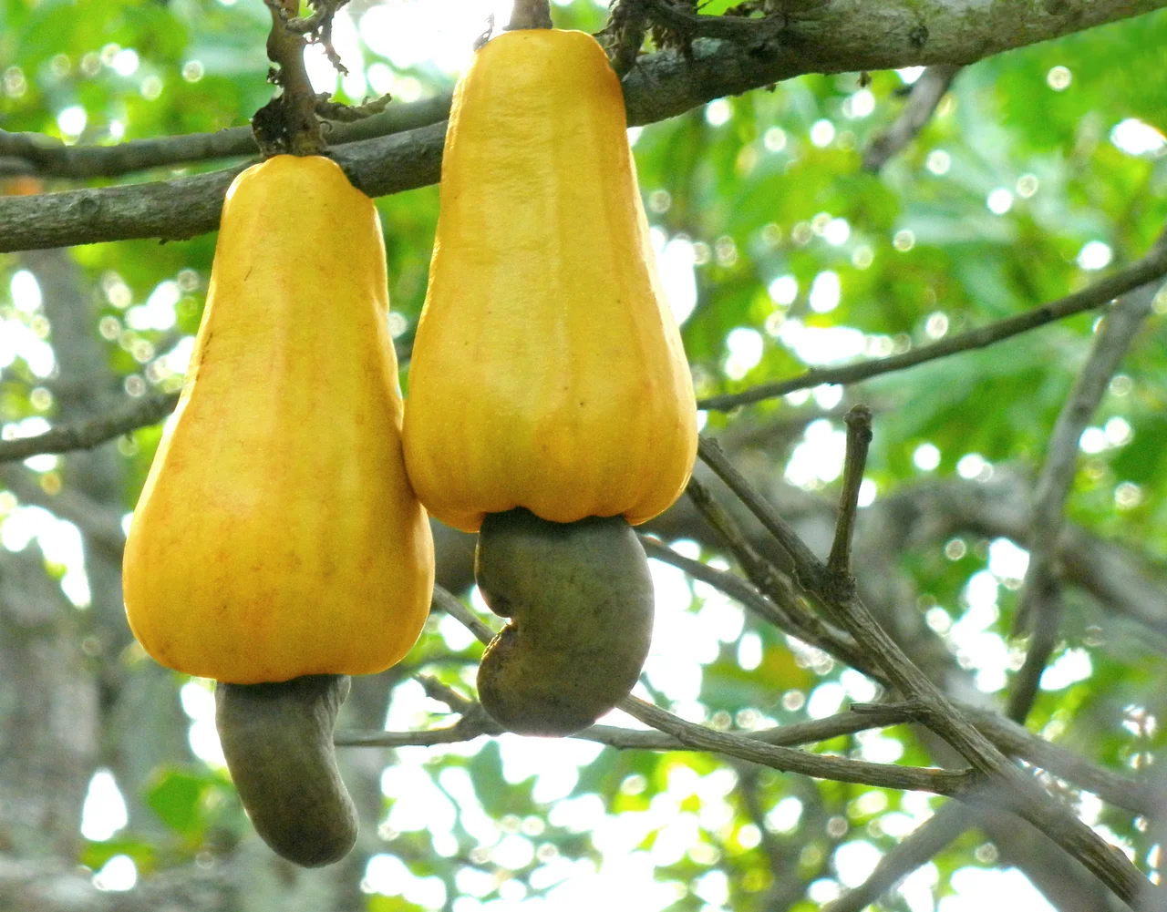
The Tonle Sap is not a lake so much as a lung. Through the dry months it shrinks to something like 2,500 square kilometres and a depth you could stand up in; when the monsoon swells the Mekong and forces the Tonle Sap River to reverse its direction, the lake inflates past 16,000 square kilometres. Everything on the floodplain — fish, forest, farmer — is built around that rhythm. Two of the three core areas of the Tonle Sap Biosphere Reserve, nominated in 1997 and established by royal decree in 2001, lie inside this province: Boeng Chhmar at 14,560 hectares and Stung Saen at 6,355. The economy follows the water. In 2003–2004 the province landed 18,800 tonnes of wild fish and produced another 1,800 tonnes through aquaculture, fourth-highest in Cambodia, most of it raised in household ponds and increasingly in the rice fields themselves. Away from the flood, cashew has taken hold, with 6,371 hectares in production that same season.
The Names Nobody Wants
Under the list of notable people, the encyclopedia entry for Kampong Thom records a boxer, two politicians, a footballer — and three men from the Khmer Rouge. Saloth Sar, who took the name Pol Pot, was born in a village outside the provincial capital. Ke Pauk, one of the regime's senior military commanders, came from here. So did Kang Kek Iew, born in Choyaot village in November 1942, who ran the S-21 interrogation centre at Tuol Sleng; convicted in July 2010 of crimes against humanity, torture and murder, he was sentenced to life on appeal in 2012 and died in Phnom Penh in September 2020. Between 1975 and 1979 the government those men served killed an estimated 1.5 to 2 million Cambodians — around a quarter of the country. Kampong Thom did not escape its own share of that. The province lost sons and daughters to the cooperatives, the security centres and the famine like every other, and the families here who buried people vastly outnumber the families who produced the men responsible. A place is not its worst children. But the list exists, and Cambodians know it is there.
Living on the Floodplain
More than 98 percent of the province follows Theravada Buddhism, and the ordinary evidence of it is everywhere: wat roofs above the treeline, saffron on the roadside at dawn, offerings left where the great snakes were once said to appear. Cham Muslim communities have practised Islam here for centuries; a small number of Christians round out the count. The daily texture of the province, though, is water and rice — ox-carts on the paddy dykes, fishermen working the tributaries, families whose calendar is set by whether the Tonle Sap is filling or draining. Kampong Thom does not perform for visitors. It is one of the few parts of Cambodia where the country simply goes about its business in front of you.
From the Air
Kampong Thom province is centred near 12.70°N, 104.88°E, occupying the low central plain between the Tonle Sap and the forested uplands to the northeast. The province is essentially flat — most terrain sits below 30 metres — with Phnom Santuk (207 m) the only prominent relief near the capital. Best identified from the air by three features: the eastern shoreline of the Tonle Sap along the western boundary, the dark unbroken canopy of Prey Lang to the northeast, and the strongly meandering Stung Sen River connecting them. National Highway 6 runs northwest–southeast across the province. Recommended viewing altitude 5,000–10,000 ft AGL for the lake-to-forest transect. Nearest major airports: Siem Reap Angkor International (VDSA) to the northwest and Phnom Penh International (VDPP) to the south. Expect widespread haze February through April; the seasonal contrast between the shrunken dry-season lake and the flooded wet-season lake is dramatic from altitude.
Nearby Stories
- Phnom Santuk 9.3 km away
- Spean Praptos 16 km away
- Boeng Tonle Chhmar 17 km away
- Prey Lang Wildlife Sanctuary 25 km away
- Cambodian Genocide 29 km away
- Stung Sen Dam 47 km away
- Democratic Kampuchea 76 km away
- Central Cardamom Mountains National Park 118 km away