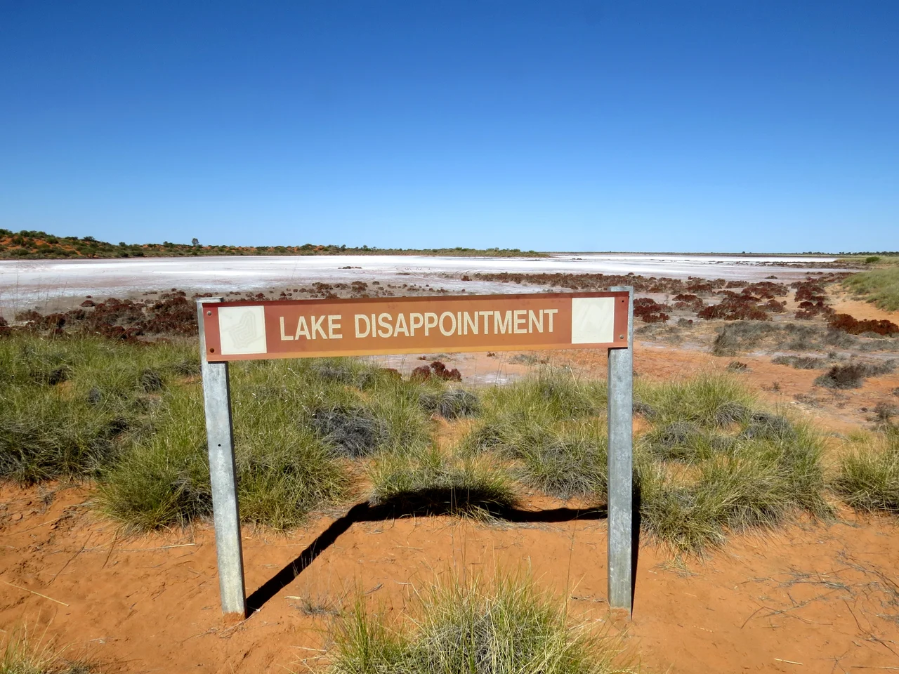

Kumpupintil Lake
For the Martu of the Western Desert, this place has always had a name, and that name carries a warning. Kumpupintil is where, in the Dreaming, warriors fought a battle against giants, and where the Ngayurnangalku are said to dwell beneath the salt crust still. Then, in 1897, a parched Englishman named Frank Hann came following creeks that ran the wrong way, inland, and convinced himself they must feed a great freshwater lake somewhere ahead. What he found was 330 square kilometres of blinding salt. He called it Lake Disappointment, and the name stuck for 123 years.
The Wrong Way Round
Hann was exploring the eastern edge of the Pilbara, around the Rudall River, when he noticed something strange: the watercourses here flowed away from the coast rather than toward it. To a man dreaming of a discovery, that could only mean one thing, an inland sea waiting at the bottom of the drainage. He followed the creeks east with mounting hope. The lake he reached is roughly 160 kilometres long and sits 300 kilometres east of the mining town of Newman, on the Tropic of Capricorn at 325 metres above the sea he had left behind. It is almost always dry. The fresh water Hann expected was salt, the disappointment entirely his own. The lake bed flushes only in exceptional wet years, the great floods of 1900 and a string of tropical seasons since 1967, when monsoon rain reaches this far south and the salt pan briefly becomes a shimmering shallow sea alive with waterbirds.
The Beings Below the Salt
Long before any of this, Kumpupintil was a place the surrounding peoples did not go. The Kurajarra, Wanman, Kartudjara and Putidjara all kept their distance, and the prohibition has survived into living memory. The reason lies beneath the surface, where the Ngayurnangalku are said to live, ancestral beings with pointed teeth and clawlike nails. According to the stories, they once divided over a terrible question, whether or not to keep eating people. One group renounced it and survived only under guard; the other did not. So strong was the taboo that it reached into the sky itself: the beings were thought capable of striking even aircraft that dared cross the lake. Aboriginal stockmen passing nearby would muffle the bells on their horses so the sound would not carry across the salt and announce them.
A Name Reawakened
On 11 November 2020, the Western Australian naming authority Landgate did something quietly historic. At the request of the traditional owners and the Western Desert Lands Aboriginal Corporation, it struck Hann's word of complaint from the map and restored the lake's true name. Kumpupintil is not a label of convenience but a story in itself, describing how the lake was formed and tying it to that Dreaming battle between the Martu and the giants. The change did not invent anything. The Martu name had never been lost, only overwritten. What Landgate did was let the older, deeper name surface again, the way the water itself surfaces after rain, having been there all along.
Life on the Edge
This is not empty country, whatever an exhausted explorer might have felt. The Canning Stock Route, that audacious chain of wells punched across the desert in the early twentieth century, runs down the lake's western shore, and the surrounding dunes ripple red and gold to the horizon. The lake remains vital to Martu people for ceremony, for water and for traditional food. It draws an unexpected abundance of birdlife when it floods, and in 2007 scientists working at the site described a species entirely new to them, a small dragon lizard named Ctenophorus nguyarna. A place once dismissed as a disappointment turned out, on closer attention, to be holding a creature no one had ever recorded before.
From the Air
Kumpupintil Lake lies at 23.50°S, 122.83°E, in the Little Sandy Desert on the Tropic of Capricorn, about 300 km east of Newman. The salt pan is roughly 160 km long and sits at 325 m (1,066 ft) elevation, an unmistakable pale scar in an ocean of red dunes, with the Canning Stock Route tracing its western shore. The nearest sealed airport is Newman (ICAO YNWN), some 300 km west; remote desert strips serve nearby Aboriginal communities. This is genuinely isolated country, hundreds of kilometres from fuel or services in any direction, so plan range and reserves conservatively. Out of respect for Martu tradition, which historically forbade even flying over the lake, treat any overflight thoughtfully. Visibility is typically excellent in the dry season, though summer heat haze and dust can flatten the light to a featureless glare.
Nearby Stories
- Parnngurr Community 51 km away
- Glikson Crater 84 km away
- Jigalong 160 km away
- Little Sandy Desert 199 km away
- Talawana Track 242 km away
- Noonkanbah Station 544 km away
- Neale Junction 563 km away
- Gogo Station 619 km away