.jpg)
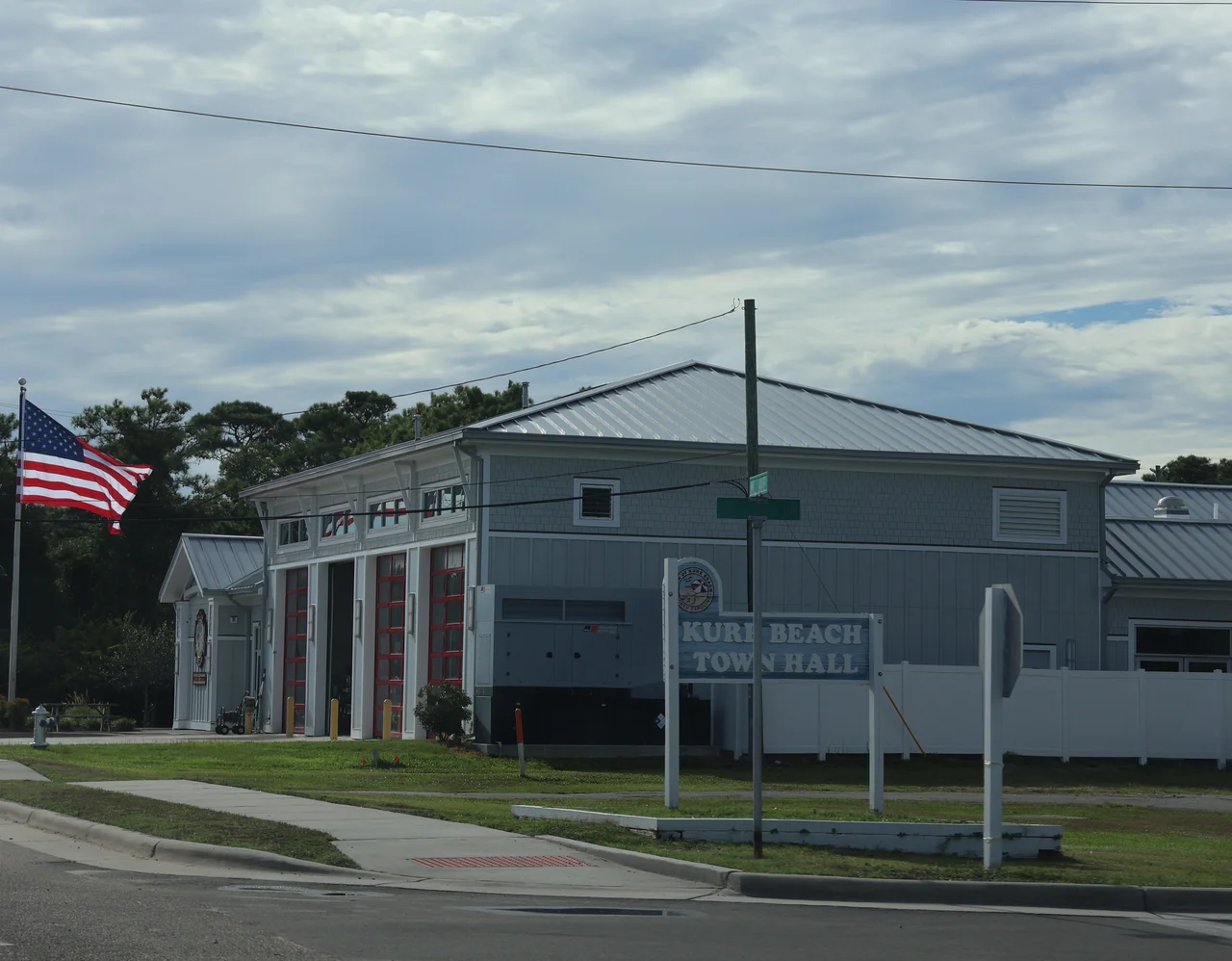
Kure Beach
On the night of July 24-25, 1943, somebody fired three shells toward the chemical plant just north of Kure Beach. The shells missed and splashed into the Cape Fear River. Townspeople would tell the story for decades: a German U-boat had crept within sight of the North Carolina coast and lobbed rounds at the only plant on the East Coast pulling bromine out of seawater for aviation gasoline. Historians have been arguing about it ever since. No German naval log records the attack. No shell fragments were ever recovered. But people heard something, the war was that close, and the absence of evidence has never quite settled the matter.
A Town a Half-Mile Wide
Kure Beach is a sliver of place: less than a square mile, stretched along three and a half miles of Atlantic shoreline, narrowing in the middle to a few hundred yards of sand between ocean and Intracoastal. The town sits on Pleasure Island, the barrier strip running south from Wilmington, with Wilmington Beach and Carolina Beach to the north and the Civil War earthworks of Fort Fisher just to the south. The population at the 2020 census was 2,191, which makes summer weekends, when day-trippers from Wilmington pour onto the island, feel like an annual invasion. The town was named for a settler family. The post office has been operating under that name since 1942.
The Pier
The Kure Beach Fishing Pier is one of the oldest on the Atlantic coast. The first version went up in 1923, four years before Lindbergh crossed the Atlantic, and it has been rebuilt and patched and rebuilt again every time a storm has taken a bite out of it. Surviving a century on this coast is not a passive achievement. Hurricanes Hazel in 1954, Fran in 1996, Florence in 2018, all came through, and each time the pier came back. Locals tend to know which boards are oldest, where the new pilings start, who lost what to which storm. The smell at dawn is the same as it has always been: salt, creosote, bait, and coffee from the pier-house.
Bromine and the War
In 1934, Dow Chemical and the Ethyl Corporation built a plant just north of what is now Kure Beach to extract bromine from seawater. Bromine compounds were used as an additive in leaded aviation gasoline, the high-octane fuel that powered Allied fighters and bombers. At its peak, the plant employed about 250 workers, and during World War II its output became strategically significant enough that the rumor of a U-boat shelling it never sounded implausible. The plant operated only about fifteen years. Most of the complex was demolished or destroyed in the late 1940s. Some concrete ruins are still findable in the woods, half-eaten by vines, a vanished piece of war industry hidden in plain sight.
Beach Town Now
Kure Beach is the quieter of Pleasure Island's two beach towns. Carolina Beach to the north keeps the boardwalk and the seasonal noise. Kure keeps the pier, the surf, and a residential calm that is easy to underestimate from a car window. Surfers paddle out at first light. Families with folding chairs and umbrellas claim a few square yards of sand by mid-morning. By late afternoon a long offshore wind starts to push the umbrellas around, and people pack up and walk back to short streets named for trees and old families. The Kure Beach Progressive Association, founded in 1945, brought water, electricity, and a firetruck to a community that had been doing without. Incorporation followed in 1947, and not much has changed in feel since.
From the Air
Kure Beach sits at 33.998 N, 77.908 W on the Atlantic side of Pleasure Island, about 15 miles south of downtown Wilmington. From 3,000-5,000 feet AGL the town reads as a thin band of low-rise development along a 3.5-mile sand strip, with the wooden pier projecting east into the Atlantic as a clear visual marker. Fort Fisher's earthworks lie just south; the Cape Fear River runs along the western edge. Nearest field is Wilmington International (KILM) about 15 miles north; Cape Fear Regional Jetport (KSUT) at Oak Island is 10 miles southwest across the river.
Nearby Stories
- Lake Waccamaw, North Carolina 11 km away
- Ocean Isle Beach house fire 14 km away
- Topsail Beach, North Carolina 25 km away
- Marine Corps Base Camp Lejeune 35 km away
- HMT Bedfordshire 63 km away
- Huntington Beach State Park 67 km away
- Atalaya Castle 114 km away
- Mercury-Redstone 4 707 km away