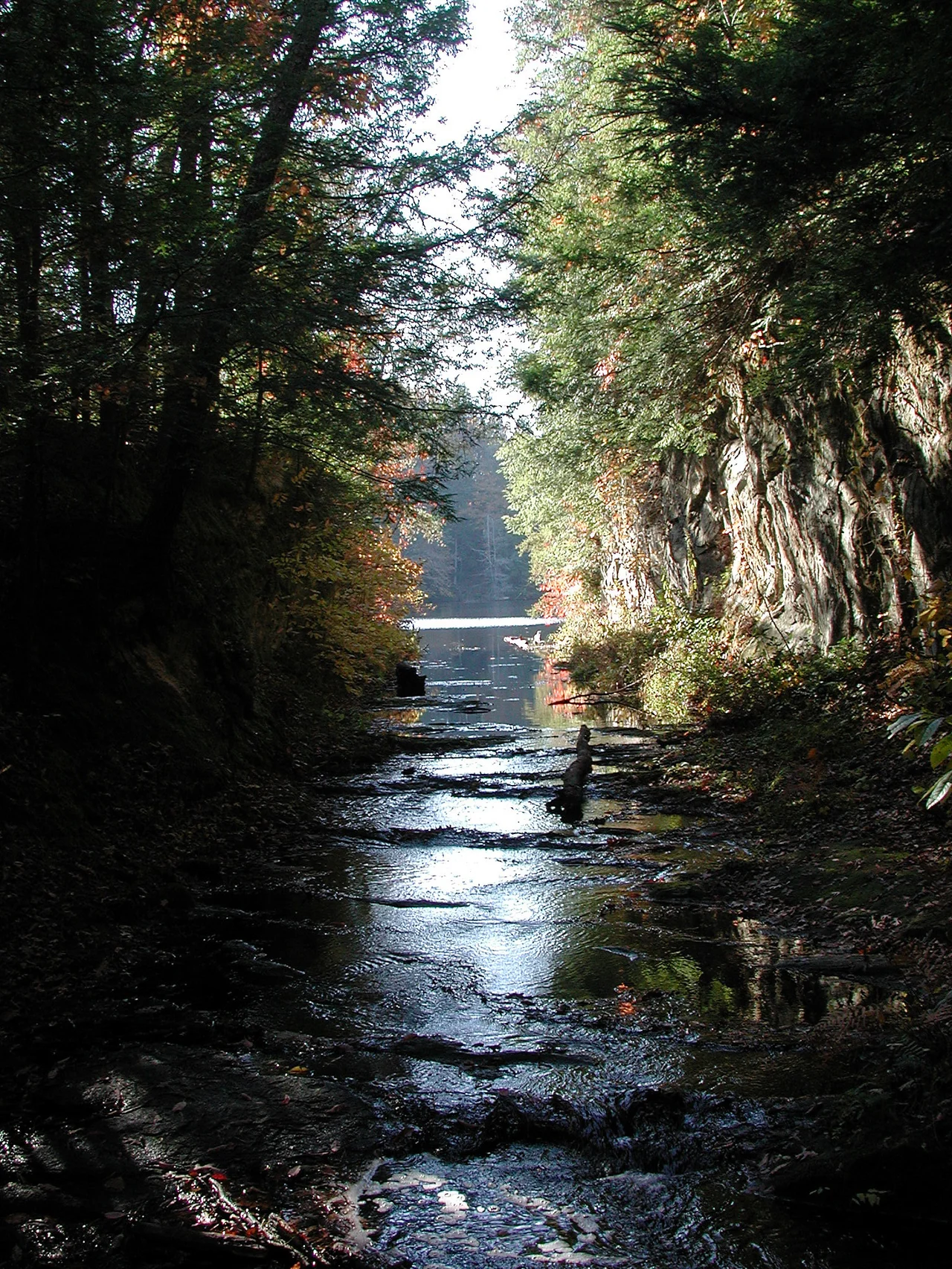

Lake Katharine State Nature Preserve
Two magnolia species reach their northernmost edge here. The bigleaf magnolia, with leaves up to three feet long, and the smaller umbrella magnolia, both more typically found in the Carolinas and Tennessee. Walk a few hundred yards farther on the same trail and you will pass wolf-foot clubmoss, a plant more comfortable in cooler northern forests. Lake Katharine State Nature Preserve sits exactly on the seam between northern and southern Eastern Woodlands - close enough to the Hocking Hills sandstone country to share its bones, far enough south for warmer-zone species to lean in. It is a botanist's puzzle laid out across 2,019 acres of southern Ohio.
Sandstone Gorge
The preserve sits in a small gorge cut into the same southerly extension of weathering-resistant sandstone that forms the famous Hocking Hills to the north. Blackhand sandstone, the iconic cliff-builder of the region, forms the bluffs at Lake Katharine. Erosion has been working on this stone for tens of millions of years, sculpting the kind of overhangs and shelter caves that draw hikers throughout the Appalachian foothills. A small stream drains the lake into a tributary of Little Salt Creek, which winds through the preserve's eastern end. Lake Katharine itself is artificial - a 1970s impoundment of that creek - but the water has fit into the gorge as if it had always been there.
A Botanical Edge
What makes Lake Katharine unusual among Ohio nature preserves is the species mixing. The bigleaf magnolia (Magnolia macrophylla) has the largest simple leaves of any tree in North America, sometimes exceeding 30 inches long, and pale white flowers up to a foot across. Most of its range lies south of the Ohio River. Lake Katharine pushes that range north. The umbrella magnolia (Magnolia tripetala) does the same, its whorled leaves giving the appearance of green umbrellas at the branch tips. Meanwhile wolf-foot clubmoss (Lycopodium clavatum), a ground-hugging non-flowering plant more at home in New England spruce forests, persists in the same gorge - tucked into cooler microclimates where the geography has held northern conditions against the climate's southern lean.
The Three Trails
Three primary trails open the preserve to visitors. The one-mile Calico Bush Trail follows the easier ridges, named for the mountain laurel that blooms pink and white in June. The two-mile Salt Creek Trail descends to the creek bottom, where Little Salt Creek runs cold and the southern magnolias thrive on the moist slopes. The 2.5-mile Pine Ridge Trail climbs through stands of Virginia pine atop the sandstone bluffs. Boating on the lake itself is restricted - written permit only, which keeps the surface quiet and the shore unhurried. The entire western portion of the preserve is off-limits to visitors, set aside as research land where state biologists track how the boundary species are responding to a warming climate.
Why the Seam Holds
Most ecosystems push hard against their edges. Climate, soil, and competition keep species sorted into the zones they tolerate best. Places like Lake Katharine, where the boundary is permeable, give scientists rare data on how plants negotiate with geography. The blackhand sandstone holds water in unusual ways. The deep, shaded gorge stays cooler than the surrounding plateau. Together those factors create pockets of refuge where southern species can extend north and northern ones can persist south. Hike the Salt Creek Trail in late summer and you can stand in one spot and see two ecological regions arguing politely with each other through the leaves. The result is one of Ohio's most distinctive botanical addresses, hidden in the foothills outside Jackson.
From the Air
Located at 39.09 N, 82.68 W in Jackson County, southeast Ohio, just northwest of the city of Jackson. The 2,019-acre preserve includes the small artificial Lake Katharine and surrounding sandstone gorges. John Glenn Columbus International (KCMH) is about 80 miles north. Best viewed at 3,500-5,000 feet on clear days, when the wooded gorge and lake are clearly visible amid the rolling Appalachian foothills.
Nearby Stories
- Gallipolis 6.9 km away
- Skatopia 11 km away
- Hardin Village Site 16 km away
- Hopewell Culture National Historical Park 18 km away
- Ripley and the Underground Railroad 47 km away
- Fort Ancient 66 km away
- The Y-Bridge of Zanesville 67 km away