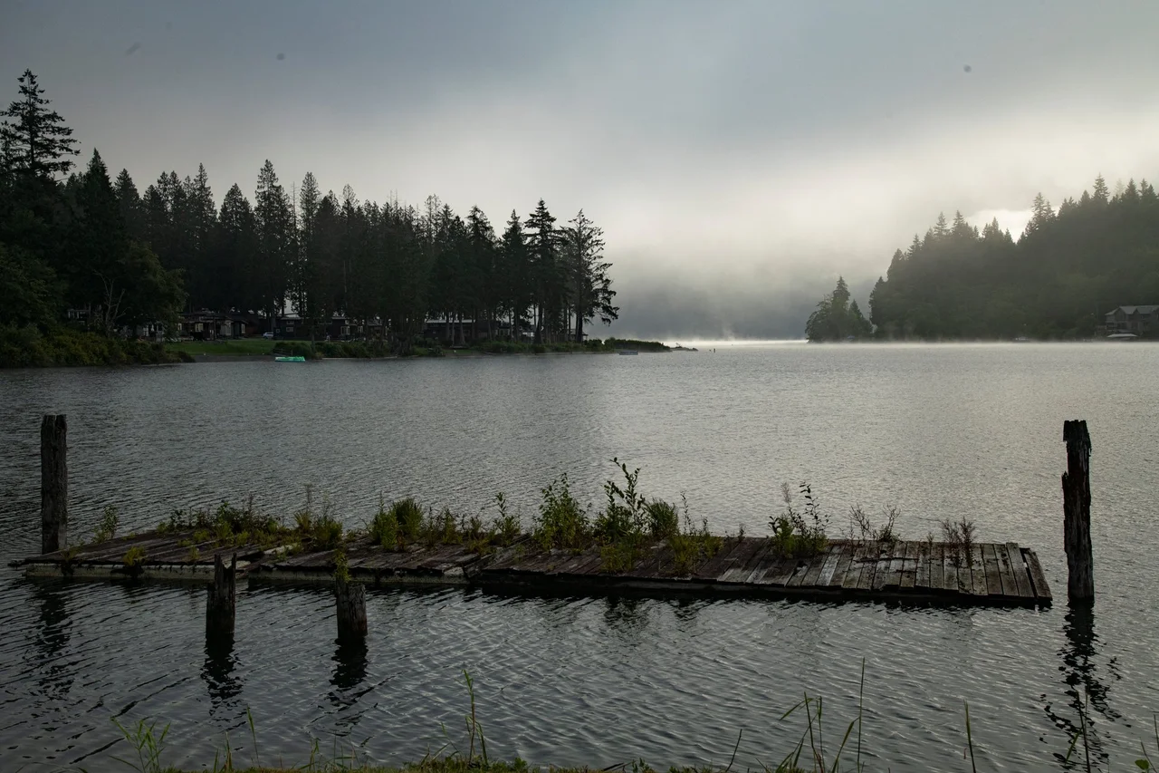

Lake Whatcom
On a windy afternoon, Lake Whatcom tilts. Steady wind down the ten-mile trough piles water at one end, and when the wind drops, the whole lake rocks back - a seiche, the slow sloshing that big narrow lakes perform. What makes it more than a curiosity here is what moves underneath. Deep in the lake's southern basin sits a layer of frigid, nearly oxygen-free water, and when the lake rocks, some of that water can slop over a submerged ridge called the Strawberry Sill into the basin where the city of Bellingham pulls its drinking water. More than 100,000 people in Whatcom County drink this lake. Its internal weather is not an abstraction to them.
Loud Water
The name comes from a Lummi word meaning loud water. Long before it meant a reservoir, the south end of the lake held a Coast Salish village occupied by the Saquantch; around 1800 the Lummi pushed them out, and by the 1850s the first settlers of European descent had arrived. One early private claim on the lake reportedly changed hands for eight dollars. The lake's only island is a three-acre scrap of rock and fir called Reveille Island, now owned by Camp Firwood, where pictographs and a carved stone bowl in animal form suggest it was a ceremonial place. There is no plaque explaining it, no interpretive trail. A summer camp keeps a small island that people were doing something important on a very long time ago.
Three Lakes in a Trench
Lake Whatcom is really three lakes that happen to touch. Basin 1 at the north end, the Silver Beach Basin, bottoms out around 100 feet and is ringed by houses. Basin 2, the Geneva Basin in the middle, is the shallow one - 40 to 60 feet at most - and it is where Bellingham's intake sits. Basin 3 runs south and deep, dropping to 328 feet and holding an estimated 96 percent of everything in the lake. Submerged sills divide the three, and water moves between them slowly, which is why the lake behaves less like a single body than like a set of tanks connected by narrow doors. The whole thing stretches about ten miles and rarely exceeds a mile across.
The Lake Breathes Once a Year
Lake Whatcom is monomictic: it mixes top to bottom just once annually. From late spring into mid-autumn the sun warms an upper layer that floats on colder water below, with a sharp temperature drop between them. Oxygen from the air barely reaches the bottom layer, and sediments consume what little gets there, so the deep water of Basin 3 goes nearly anoxic by summer's end. Then the surface cools, the layers collapse into each other, and the lake turns over. This is normal limnology. What complicates it is nutrient loading - and Lake Whatcom gets more phosphorus than a lake this shape can absorb.
Living Upstream of Your Own Tap
The EPA added Lake Whatcom to its 303(d) list of impaired waters in 1998 for low dissolved oxygen, which traces directly back to phosphorus. Most of it arrives diffusely: stormwater running off roofs and roads, lawns and gardens, aging septic systems in the watershed. In 2005 phosphorus fertilizers were banned around the lake. Bellingham and Whatcom County restrict land clearing from October 1 through May 31, the wet months, to keep bare soil from washing downhill. A 2008 state Department of Ecology analysis concluded that hitting acceptable oxygen levels would require returning hard, water-shedding surfaces to their pre-1988 extent - which is to say, unbuilding roughly two decades of development. By 2014 the watershed counted 6,877 dwelling units, some 2,566 of them in the Sudden Valley neighborhood alone, with thousands more lots still buildable. The city and private owners have put about 2,519 acres of the watershed's 31,127 under conservation easement. The arithmetic is not subtle.
Everything Downstream
Nearly 78 percent of the lake's outflow leaves through Whatcom Creek, past control gates at the head of the creek in Whatcom Falls Park where the city meters the level - balancing storage, drinking water demand, and enough flow to keep threatened Chinook salmon moving. Water also arrives by tunnel: since 1962 a diversion has carried water from the Middle Fork of the Nooksack River into the lake, built to feed a paper mill on the Bellingham waterfront. The hills around the lake were logged out by the end of the 1800s, and coal was mined nearby until the Whatcom Mining Company shut in 1919. In 1946 J.H. Bloedel gave the city 12.5 acres that became Bloedel Donovan Park. Thirteen fish species live here now - kokanee, coastal cutthroat, sculpin and stickleback among the natives; bass, perch and bullhead among the arrivals, some stocked and some dumped from buckets. Boats still crowd the north end on July weekends. So does the water everybody drinks.
From the Air
Lake Whatcom lies at 48.7331°N, 122.3281°W, a narrow ten-mile trough running northwest to southeast immediately southeast of Bellingham, Washington. Fly it at 3,000-5,000 ft AGL to take in the full length and the three-basin shape; the northern end is dense with shoreline housing and the southern end fades into forest. Mount Baker stands 10,781 ft to the east and is the single best orientation mark in the county. The Chuckanut Mountains fall away southwest toward Bellingham Bay, and Whatcom Creek threads from the lake's northwest corner through Whatcom Falls Park into the bay. Sudden Valley's rooftops mark the south shore. Nearby airports: KBLI Bellingham International roughly 10 km northwest, KBVS Skagit Regional about 40 km south, KAWO Arlington Municipal some 65 km south, and CYXX Abbotsford about 35 km north across the Canadian border. Marine air pushes fog into the lowlands on autumn mornings while the lake basin often stays clear; winter brings low ceilings and strong easterly outflow winds funneling down the trough - the same winds that set the lake sloshing.
Nearby Stories
- Sumas Prairie 2.7 km away
- Cloverdale Rodeo and Country Fair 8.3 km away
- Gateway Pacific Terminal 9.9 km away
- Lopez Island 15 km away
- Skagit River 21 km away
- North Cascades National Park 54 km away
- Manning Provincial Park 63 km away
- Cathedral Provincial Park 111 km away