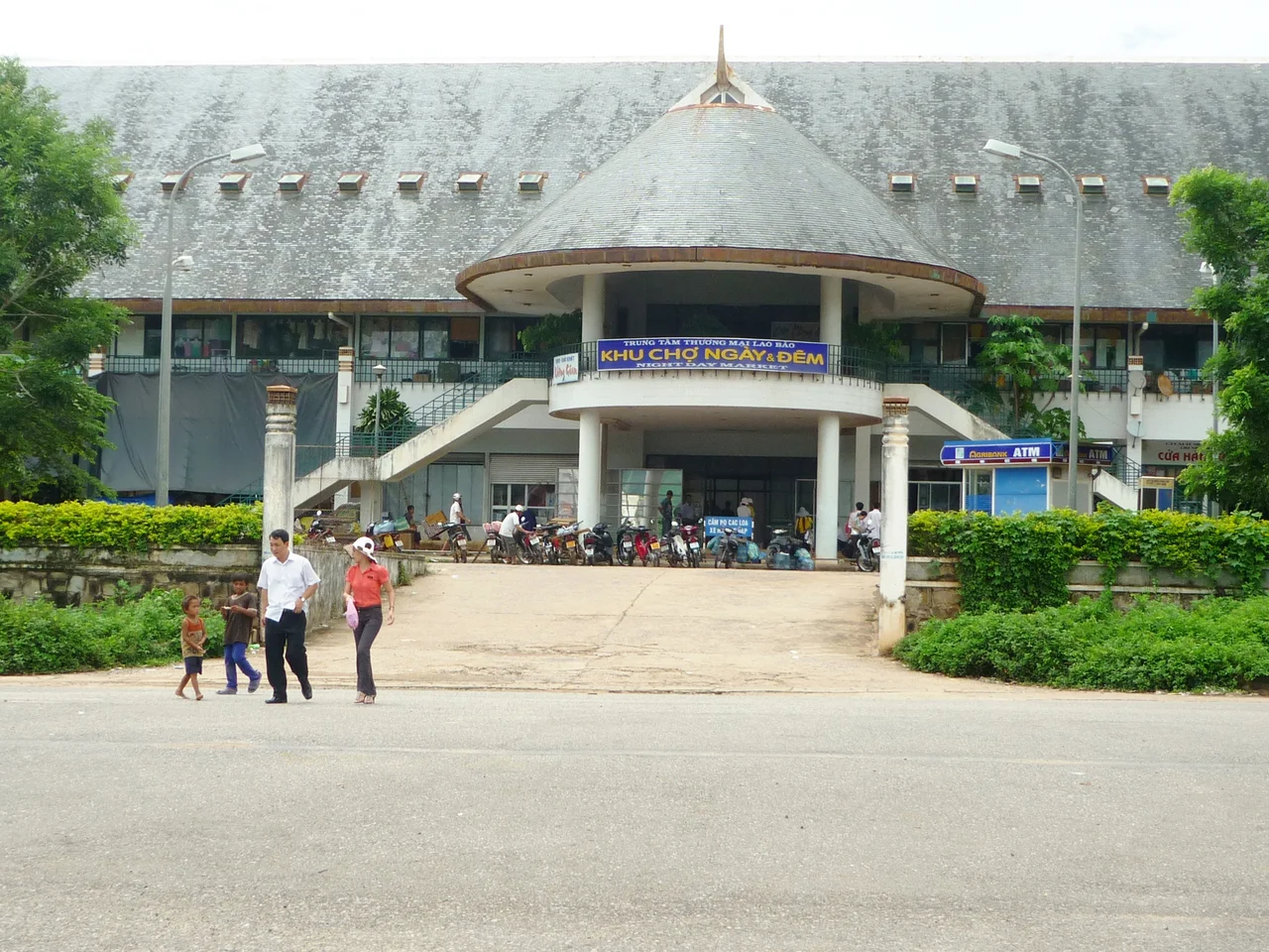

Lao Bảo
The Sepon River is not impressive. One meter deep, a hundred meters wide, wrapped in jungle — it is the kind of river you could wade across in the dry season without getting your shoulders wet. But this unremarkable ribbon of water, flowing through the hills at the western edge of Quảng Trị Province, marks the border between Vietnam and Laos. On the Vietnamese side: Lao Bảo. On the Lao side: Dansavan. Between them, a bridge, a checkpoint, and one of the most strategically significant roads in Southeast Asian history.
The French Built the Road
Route 9 exists because of French colonial logic. In 1912, the French colonial administration began constructing the road to connect coastal Vietnamese towns with the settlements along the Mekong River, threading it west over the Annamite Range through the mountain pass where Lao Bảo sits. The goal was economic integration: move goods from the interior to the sea, tie the disparate parts of French Indochina together.
For the town that grew up at the border crossing, this road was the reason for being. Lao Bảo became a transit point — a place where goods changed hands, where traders paused before crossing into Laos, where the Vietnamese highlands met the Lao lowlands. The road defined the town's geography and its economy, and that relationship has never really changed, even as the regimes that controlled the road came and went.
When the Trail Ran Through Here
During the Vietnam War, Route 9 took on a different significance entirely. The Ho Chi Minh Trail — the supply network that sustained North Vietnam's war effort in the south — ran largely through the mountains and jungle on the Lao side of the border, threading through the same passes and valleys that Lao Bảo overlooked. American planners and military commanders understood that cutting this corridor was essential to the war's outcome; battles were fought across this entire region for exactly that reason.
Lao Bảo itself and the surrounding border area saw military operations throughout the conflict. The town's position at the end of Route 9, where the road crossed into Laos, made it both a monitoring point and a vulnerability. After the war, the border zone was left scarred and economically depressed — the infrastructure that the French had built to move commerce had spent decades moving armies instead.
The Crossing Today
What has emerged since the war's end is something the French planners would have recognized, even if the flags have changed. The Lao Bao International Border Gate — the checkpoint on the Vietnamese side — is one of Vietnam's official international border crossings, accepting both conventional visas and Vietnamese e-visas. Across the Sepon River, the Dansavan International Border Gate in Savannakhet Province handles traffic on the Lao side.
Today Lao Bảo is a town of approximately 30,000 people and is notably more prosperous than many inland communities its size. Residents earn more than the provincial average in Đông Hà, the capital of Quảng Trị Province. The border trade drives this — timber, goods moving between Vietnam, Laos, and Thailand — and the town has grown into its role as a commercial node in a way that the wartime era never permitted.
One Road, Four Countries
Route 9's modern incarnation extends far beyond the mountains it once crossed. Designated as AH16 in the Asian Highway Network, the road forms a segment of the East-West Economic Corridor — a 1,450-kilometer route connecting Vietnam, Laos, Thailand, and Myanmar, linking the Vietnamese coast through the Mekong region to the Gulf of Martaban. It is one of Southeast Asia's most significant land trade routes.
At Lao Bảo, you can stand on the bridge over the Sepon River and watch trucks loaded with goods cross the border in both directions, following a road that the French built, that armies fought over, and that commerce has now reclaimed. The jungle on both sides of the river is still thick. The mountains above are still quiet. The border crossing is busy on market days — which is most days.
From the Air
Lao Bảo sits at 16.617°N, 106.600°E, at the western end of the Route 9 corridor where Vietnam meets Laos. From 3,000–5,000 feet, the border is clearly marked by the Sepon River valley cutting through the Annamite Range — look for the river's pale ribbon and the ribbon of the road paralleling it. The checkpoint infrastructure on both sides of the border is visible on clear days. Dong Hoi Airport (VDH) is approximately 90km to the northeast. The Khe Sanh plateau is roughly 10km to the east-southeast. Mountain weather in this region can bring low cloud and fog into the valleys, particularly in the morning hours.
Nearby Stories
- Battle of Signal Hill (Vietnam) 5.4 km away
- DMZ Campaign (1969–1971) 7.5 km away
- Southern Laos 22 km away
- Grès supérieurs Formation 23 km away
- Hoằng Phúc Temple 34 km away
- Battle of Hamburger Hill 52 km away
- National Route 9 (Vietnam) 54 km away
- Bach Long Vi Island 366 km away