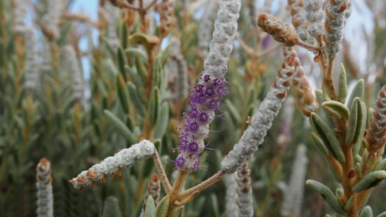

Mamungari Conservation Park
For thirty-six years, one of Australia's largest protected wildernesses had no name. When the government proclaimed this enormous reserve in the Great Victoria Desert in 1970, it simply forgot to call it anything - and so on the maps it became, with deadpan bureaucratic honesty, the Unnamed Conservation Park. It was Unnamed when UNESCO recognised it as a World Biosphere Reserve in 1977. It stayed Unnamed for decades, a blank label on a place few people would ever see: a thousand kilometres northwest of Adelaide, hard against the Western Australian border, far beyond the reach of any sealed road. Only in 2006 did it finally receive its name, Mamungari - drawn from the language of the Anangu, whose country this has always been.
A Mosaic of Red and White
This is the southern Great Victoria Desert grading into the northern Nullarbor, and it is not the empty waste outsiders imagine. The country here is a shifting mosaic - long crimson sand ridges running in parallel waves, pale gibber flats, mallee and spinifex, and the blinding white of dry salt pans. Its centrepiece is the Serpentine Lakes, a chain of salt lakes that snakes for nearly 100 kilometres straight along the South Australia-Western Australia border. When they fill, they can cover almost 100 square kilometres; most of the time they lie dry, a thick saline crust over clay and silt, glaring under the desert sun. It is exactly the kind of stark, intact arid landscape that earned the place its biosphere status.
The Land Returned
In May 2004, the Premier of South Australia, Mike Rann, handed back the title to 21,000 square kilometres of this country - the conservation park and the Serpentine Lakes among it - to the Maralinga Tjarutja and Pila Nguru peoples. It was the largest return of land under native title in South Australia since the handover of the Maralinga lands two decades earlier, and for Rann it was the keeping of a personal promise: a pledge he had made in 1991, as Aboriginal Affairs Minister, to the Maralinga leader Archie Barton. For the Anangu traditional owners, it was the formal recognition of a connection that no proclamation had ever created and no decades of bureaucratic anonymity had ever erased.
Custodianship, Not Tourism
Mamungari is not a place you simply drive into. It is managed jointly by its traditional owners - the Maralinga Tjarutja and Pila Nguru - together with the state's environment department, and it is held as an IUCN Category Ia strict nature reserve, the most protective classification there is. Visitors must hold a minimum-impact code and prove real experience with it; permits take four to six weeks to arrange. Only one road of any note crosses the park at all: Len Beadell's Anne Beadell Highway, an unsealed desert track that is among the most remote drivable routes on the continent. The barriers are deliberate. This is country to be cared for, not consumed.
The Living Desert
Behind the harsh surface is one of the least-disturbed desert ecosystems on Earth, which is precisely why UNESCO listed it among Australia's biosphere reserves. The dune fields and spinifex shelter desert reptiles, marsupials and birds adapted to one of the driest, hottest regions of the country - life tuned to scarcity, to the long wait between rains and the brief green flush that follows them. The Anangu have read and lived this country for thousands of years, and that depth of knowledge is now woven into how the park is managed. The blank name on the old maps was always a failure of the outsiders' imagination, never of the land or the people who belong to it.
From the Air
Mamungari is centred near 29.13°S, 129.98°E, deep in the Great Victoria Desert against the Western Australia border, about 450 km northwest of Ceduna and 200 km west of Maralinga. The standout feature from the air is the Serpentine Lakes - a chain of salt lakes running almost dead north-south for nearly 100 km along the state border, a bright ribbon against red dune country. The Anne Beadell Highway crosses the park as a faint unsealed line. This is among the remotest airspace in Australia with essentially no infrastructure: the nearest community is Oak Valley to the north, and the remote railway strip at Cook lies well to the south. Recommended altitude 4,000-7,000 ft to read the dune-and-lake pattern. Visibility is usually excellent, but there are no surface services and no margin for error - careful fuel planning and GPS navigation are essential over this terrain.
Nearby Stories
- Great Victoria Desert 13 km away
- Serpentine Lakes 28 km away
- Vokes Hill Corner to Cook Road 29 km away
- Archie Barton 31 km away
- Oak Valley, South Australia 46 km away
- Anne Beadell Highway 132 km away
- Deakin, Western Australia 162 km away
- Maralinga to Emu Road 225 km away