
Mayotte Marine Natural Park
Two reefs, not one, ring this island. Most coral atolls make do with a single barrier; Mayotte sits inside a rare double barrier, a phenomenon so uncommon that only a handful exist anywhere on Earth. From the water, the outer reef shows itself as a line of breaking surf more than a hundred miles long, and inside it lies a lagoon among the largest in the western Indian Ocean. In 2010, France drew a protective boundary around the whole thing and everything beyond it, creating the Mayotte Marine Natural Park.
The Ring Within a Ring
Geography rarely repeats itself this neatly. A barrier reef forms as coral grows upward while the island it fringes slowly subsides, leaving a lagoon between land and reef. At Mayotte, that process happened twice, producing an inner and an outer reef with a vast sheltered basin between them. The lagoon spans roughly 1,500 square kilometres of turquoise shallows, calm enough that the wind-driven swell of the open channel breaks far offshore and never reaches the beaches. Inside, the water shifts through every shade from pale jade to deep sapphire as the seabed drops away. Standing on the shore of Grande-Terre, you can watch surf detonate on a reef so distant it looks like a horizon of its own.
A Crossroads of Open Water
The park is enormous in a way the lagoon alone cannot convey. Its waters cover Mayotte's full territorial sea and exclusive economic zone, totalling some 68,300 square kilometres, and they run straight up against the protected waters of the Glorioso Islands to the north. Together the two parks form a single guarded expanse of about 110,000 square kilometres. This stretch of the northern Mozambique Channel is one of the richest marine zones on the planet, where the currents that thread between Madagascar, the African coast, and the Comoros carry nutrients and life through a tropical sea. Mayotte's borders here meet those of three neighbours at once.
The Lagoon's Residents
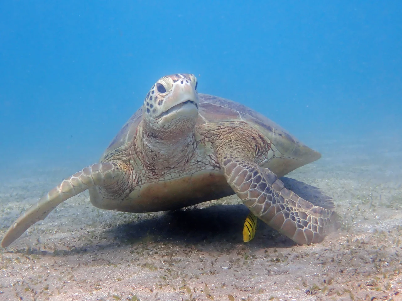
Few places concentrate so much life behind a wall of coral. Dugongs, the rare and shy sea cows that graze on seagrass meadows, still feed in the lagoon, where roughly two thousand sea turtles also live and haul out to nest on the beaches. From July to October, humpback whales arrive with their calves, filling the channel with song. The deeper water holds creatures the reef rarely sees up close: great hammerheads, classed as endangered, and the humphead wrasse, a slow-growing giant of the coral. Twenty-four fish species found here appear on the IUCN Red List, a tally that makes the lagoon both a sanctuary and a responsibility.
More Than a Wildlife Refuge
The park was France's first marine natural park established outside its European territory, and its purpose was never only ecological. The waters of Mayotte feed the people who live beside them; fishing supports families and the local economy, most of it done by hand from small boats with a line over the side rather than by industrial fleets. Oceanic tuna vessels are barred from working within 24 miles of the coast, keeping the lagoon's edge for the islanders. The protection also carried a quieter purpose. Mayotte's status is contested by the neighbouring Comoros, and drawing a French park across these waters helped assert who governs this corner of the channel.
From the Air
Mayotte Marine Natural Park surrounds the island of Mayotte at approximately 12.88°S, 45.42°E in the Mozambique Channel, west of northern Madagascar. The double barrier reef is the standout feature from the air: the outer reef traces a pale ring more than 100 miles around, enclosing the turquoise lagoon and the volcanic islands of Grande-Terre and Petite-Terre. Recommended viewing altitude is FL250 to FL350 in clear conditions, when the contrast between deep channel blue, reef white, and lagoon jade is striking. The nearest airport is Dzaoudzi-Pamandzi International (ICAO FMCZ) on Petite-Terre. Regional alternates include Antsiranana / Arrachart (FMNA) in northern Madagascar and Prince Said Ibrahim International (FMCH) in the Comoros. Best visibility falls in the June-to-September dry season; humpback whales are present July through October.
Nearby Stories
- 2008 Invasion of Anjouan 78 km away
- Anjouan 100 km away
- Glorioso Islands 186 km away
- Moheli 196 km away
- Nosy Tanikely 238 km away
- Nosy Be 244 km away
- Anjajavy Forest: Where Stone Forests Meet Living Ones 275 km away
- Juan de Nova Island 495 km away