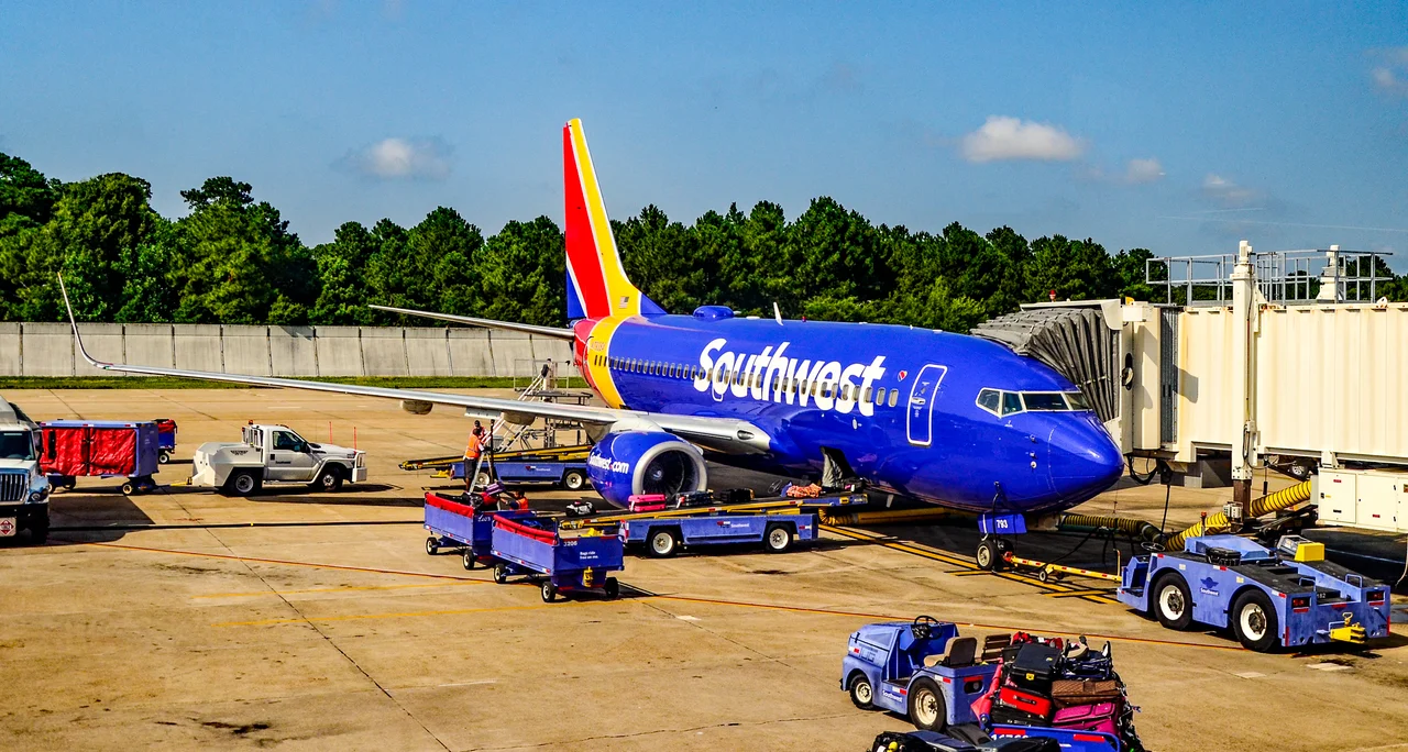
.jpg)
Norfolk International Airport
In 1929, a World War I veteran pilot named Ben Epstein parked airplanes on a Norfolk field off Granby Street and called it an airport. Families showed up in their Sunday clothes to board a ten-passenger Fokker Trimotor for the special-occasion novelty of flight. The Navy ran them off in 1932 because Granby Street was uncomfortably close to Norfolk Naval Air Station. The Great Depression then shut down commercial aviation in the city for five straight years. When Norfolk Municipal Airport finally opened in 1938, the city built it on the fairways of a defunct golf course. The first runway was 3,500 feet of grass and crushed shell, and almost a century later that airport, now called Norfolk International, is still working out where to put everything.
Truxton Manor
Truxton Manor Golf Course closed in the 1930s, victim of the Depression and the city's quiet bet that aviation was the future. The terminal that opened in 1940 was modest. Then came World War II, the Navy expansion, the postwar boom in air travel, and the steady rebuilding that turned a 1,300-acre municipal field into Hampton Roads' principal commercial gateway. The main runway, 5/23, now runs 9,001 feet. The FAA control tower built in 1995 stands 134 feet high, handling about 1,100 aircraft per day, all day, every day. Sixty-five years of expansion left an airport with two concourses, a nine-level garage, and a bridge with a moving walkway connecting the arrivals and departures buildings.
The Botanical Garden Next Door
Norfolk Botanical Garden, opened in 1939, shares a fence line with the airport. The garden is one of the great public landscapes of the Tidewater, 175 acres of azaleas and camellias and bald cypress along Lake Whitehurst, and for nearly a century it has been the green neighbor of the runway. Most days the relationship is decorative. On rare days it is tragic. On March 4, 2015, a Mooney M20F attempting to land on Runway 23 in fog and turbulence crashed in the garden, killing all three people aboard. Norfolk's accident history is mercifully thin: a Vickers Viscount that hit a snow plow on landing in 1967 (everyone survived), a parked Martin 4-0-4 that caught fire in 1974, the Mooney in 2015. For a field handling 1,100 daily operations, that is a quiet record.
Cargo and Concourses
About 70 million pounds of air cargo move through ORF every year, in and out of 88,000 square feet of terminal space with direct plane-to-warehouse ramp access. The passenger numbers are bigger. Delta runs about 17 percent of the market, then Southwest, then American, then United, with Breeze Airways climbing fast. International service had been gone for decades when Breeze announced in late 2025 that it would start flying Norfolk-Cancun in January 2026, the first scheduled international route at ORF in years. Gate A1 was renovated to handle Customs clearance for the returning passengers.
A Field in Transition
More than a billion dollars in capital projects is reshaping the airport. The main runway is being rehabilitated. The Sky Bridge moving walkway is being reinstalled. A new unified ticketing hall, a rental-car center, an expanded Concourse A, a Customs and Border Protection facility, and a Courtyard by Marriott hotel are all in the plan. In August 2025 the airport announced it was closing the crosswind runway, 14/32, entirely to make room for a de-icing facility and to straighten the access road. Norfolk International is not so much modernizing as remaking itself. The 1938 footprint is still there underneath, but very little of what passengers see in 2026 will exist five years from now.
From the Air
From the cockpit on approach, Norfolk International is easy to spot. The runway points northeast-southwest across the flat coastal plain. Lake Whitehurst gleams to the west. The garden's tree canopy sprawls to the south. Beyond the field, downtown Norfolk's small cluster of towers marks the Elizabeth River, and beyond that the gray industrial sprawl of the world's largest naval base extends north along Sewell's Point. Few American airports sit in such concentrated geography. Within fifteen miles of touchdown there are three major military airfields, a national maritime monument at Fort Monroe, the mouth of the Chesapeake Bay, and a coastline that has been launching ships into the Atlantic since 1607.
From the Air
Norfolk International (KORF) at 36.89°N, 76.20°W, 7 nm NE of downtown Norfolk. Main runway 5/23 is 9,001 ft. Field elevation 27 ft MSL. Tower frequency 120.65; Norfolk approach 124.9 / 125.2. Class C airspace. Look for the field northeast of the city, west of Lake Whitehurst, with Norfolk Botanical Garden immediately on the southwest. Nearby airports: KNGU (Norfolk Naval, 4 nm WSW), KLFI (Langley AFB, 9 nm N), KPHF (Newport News/Williamsburg, 14 nm NW), KCPK (Chesapeake Regional, 11 nm SSW). Expect heavy military traffic and naval helicopter activity throughout the area.
Nearby Stories
- James River Reserve Fleet 3.5 km away
- Coastal Virginia Offshore Wind 11 km away
- Cape Charles Air Force Station 15 km away
- Dismal Swamp Canal 24 km away
- Blackwater River (Virginia) 25 km away
- Bacon's Castle 32 km away
- SS Monroe (1902) 66 km away
- Bodie Island Lighthouse 83 km away