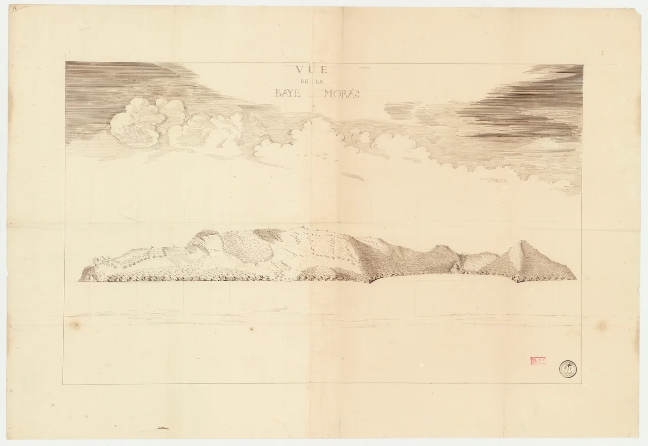

Nosy Mangabe
After dark on Nosy Mangabe, a strange tapping drifts out of the trees. It is the sound of the aye-aye at work - a creature so peculiar that for most of its history people could not agree whether it was a rodent, a squirrel, or a curse. The aye-aye is in fact a lemur, the largest nocturnal primate on Earth, and this 520-hectare island a couple of kilometers off the town of Maroantsetra was set aside to keep it alive. Cloaked in dense rainforest and ringed by humid green slopes, Nosy Mangabe rises steeply from the calm of Antongil Bay, a self-contained ark holding one of the most misunderstood animals in the world.
The Hand of the Aye-Aye
The aye-aye finds its food by sound. It scuttles along a branch tapping the wood up to eight times a second, listening for the hollow echo of a grub tunnel beneath the bark. When it hears one, it gnaws a hole with ever-growing front teeth and reaches in with its most extraordinary tool: a long, thin, almost skeletal middle finger that it uses to hook the grub out. No other primate hunts this way; the closest parallels are a few marsupials on the far side of the world. It is a marvel of evolution - and the very strangeness that fascinates biologists is what once doomed the animal among its human neighbors.
An Omen With a Finger
For centuries many Malagasy communities regarded the aye-aye as a harbinger of evil, an omen of death whose appearance near a village could mean a person was fated to die. Some held that the only way to lift the curse was to kill the animal on sight. Combined with the loss of its forest, that belief pushed the aye-aye toward extinction. So in the 1960s conservationists brought a small population to Nosy Mangabe, where the surrounding water and protected forest could shelter them. These were ancient fears, woven through generations of folklore, and the island was a way to give the animal a chance to survive while attitudes slowly changed.
Messages in the Rock
Nosy Mangabe keeps human history too, etched literally in stone. On the island's west side, on a strand long known as the Plage des Hollandais - the Beach of the Dutchmen - more than forty inscriptions are carved into the shoreline boulders. They were cut between 1601 and 1657 by crews of the Dutch East India Company, who anchored in the sheltered bay to take on fresh water, mend their ships, and recover from sickness on the long haul to Southeast Asia. Researchers have identified the names of at least thirteen vessels, along with officers' names and the dates they arrived - a four-hundred-year-old guestbook scratched into rock by homesick sailors half a world from home.
Last Chance to See
The island has never had a permanent village; a simple campsite serves the biologists, researchers, and travelers who come to walk its forest trails. Besides the aye-aye, four other lemur species live here - the eastern woolly lemur, the white-fronted lemur, the black-and-white ruffed lemur, and the tiny gray mouse-lemur - along with the vulnerable Baron's climbing rosewood. In the 1980s the writer Douglas Adams came to Nosy Mangabe hunting a glimpse of the aye-aye for a radio series, and the visit became one of the strangest chapters of his book Last Chance to See. The reward for an overnight stay is the same one he sought: somewhere in the dark, that patient tapping, and a finger reaching into the wood.
From the Air
Nosy Mangabe sits in the northern part of Antongil Bay near 15.50°S, 49.77°E, roughly 2 km offshore from the town of Maroantsetra on Madagascar's northeast coast. From the air it is a small, steep, densely forested island standing alone in the calm bay - an easy and distinctive waypoint for coastal navigation, with the larger Masoala Peninsula forming the green eastern wall of the bay beyond it. The nearest airport is Maroantsetra Airport (ICAO FMNR, IATA WMN), just across the water at the bay's head. Recommended viewing altitude 1,500 to 3,500 ft AGL; this is one of the wettest corners of Madagascar, so expect frequent cloud, rain, and reduced visibility over the surrounding rainforest.
Nearby Stories
- Marojejy National Park 96 km away
- Nosy Boraha 121 km away
- Lake Alaotra 202 km away
- Anjajavy Forest: Where Stone Forests Meet Living Ones 216 km away
- Zahamena National Park 233 km away
- Tromelin Island: The Forgotten Enslaved People of the Isle of Sand 455 km away
- Battle of Reunion 799 km away
- Erythraean Sea 3079 km away