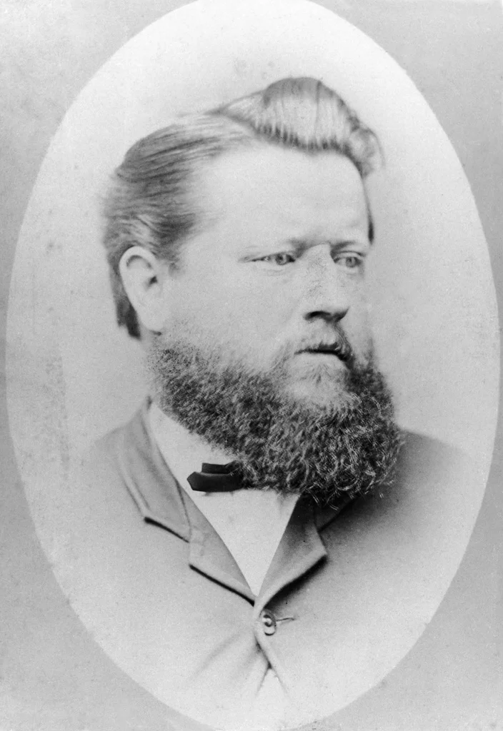

Poeppel Corner Survey Marker
A wooden post stands alone in the salt and sand, hundreds of kilometres from anywhere. It marks the meeting point of three Australian states, but for more than a century it stood in the wrong spot. The man who planted it, Augustus Poeppel, had done everything right - except trust a measuring chain that turned out to be about an inch too long. That small error rippled across hundreds of kilometres of desert and left the original corner sitting roughly 300 metres from where the borders actually intersect. The post is heritage-listed now, protected by the state of Queensland. It is, in a sense, a monument to a beautiful mistake.
A Post Dragged Across the Desert
There was no timber where the corner needed to be. The Simpson Desert offers little but sand ridges and salt pans, so Poeppel's team cut a coolabah trunk roughly two metres long and hauled it to the site behind camels - a journey of around 90 kilometres across dunes and dry lakebeds. They raised it at the intersection of 26 degrees south and 138 degrees east at the end of 1880, the westernmost of Queensland's three southwestern corners. Reaching this spot at all was an achievement. The survey line had crossed some of the most waterless country on the continent, and the men worked through heat that warps both metal and judgement. The post they planted would outlast all of them.
The Chain That Lied
Surveyors of the era measured distance with a steel chain, link by link, mile after mile. Poeppel's chain was worn, and it had stretched by roughly two and a half centimetres beyond its true length. Over the long east-west run from the 141st meridian, those tiny excesses accumulated. By the time the line reached the corner, the error had pushed every milepost - and the post itself - some 316 metres too far west. The boundary was, quite literally, off the mark. The fault lay not in the surveyor's skill but in his instrument, and in a desert hot enough to make a steel band misbehave. It is a quietly humbling story: precision undone by a single faulty tool.
Putting It Right
The discrepancy could not stand. In 1883 the Surveyor-General of South Australia, George Goyder, directed Lawrence Wells to assist Poeppel in resurveying the troubled boundary. The line was re-chained, the true corner identified, and the marker repositioned eastward to align with the corrected survey. Poeppel returned to the desert to set things right before failing eyesight ended his fieldwork in the mid-1880s; Wells went on to help carry the great border survey all the way north toward the Gulf of Carpentaria. The corner finally sat where the maps said it should. The post that records all this drama was added to the Queensland Heritage Register on 9 November 2012.
Why a Stick in the Sand Matters
It would be easy to dismiss a single post in an empty desert. But this marker fixes the legal edges of three of Australia's largest jurisdictions, and getting it wrong meant redrawing the limits of a continent's interior. For the surveyors, every kilometre was earned through thirst, flies, and the constant grind of camel travel across the salt lakes and sand hills of the Simpson and the waterless plains of the Sturt Stony Desert. The marker honours that labour. Travellers who reach Poeppel Corner today - and only the well-prepared do - find a register to sign and a marker to photograph, standing where three states quietly converge in a sea of red sand. The original post has been preserved and the site interpreted, a reminder that maps are drawn by people, in the heat, with imperfect tools.
From the Air
Poeppel Corner Survey Marker sits deep in the Simpson Desert at approximately 26.00 degrees south, 138.00 degrees east, near the salt expanse of Lake Poeppel, around 174 km west of Birdsville. From the air the landscape reads as endless parallel red dunes streaked with pale salt lakes - there is no town, road grid, or vegetation belt to anchor the eye, so the corner itself is effectively invisible from cruising altitude. The nearest meaningful waypoint is Birdsville Airport (YBDV) to the east; Boulia Airport (YBOU) lies to the northeast. There are no airfields in the immediate desert interior. Best viewing is on a clear, low-dust winter day when the dune patterns and salt pans show maximum contrast; summer brings haze, extreme heat, and frequent dust that flatten the terrain into a featureless haze.
Nearby Stories
- Munga-Thirri–Simpson Desert National Park 13 km away
- Annandale Station 35 km away
- Munga-Thirri National Park 63 km away
- Munga-Thirri–Simpson Desert Regional Reserve 68 km away
- Warburton River 90 km away
- Lakes Muncoonie, Mumbleberry and Torquinie Important Bird Area 91 km away
- Simpson Desert Bike Challenge 100 km away
- Simpson, Northern Territory 134 km away