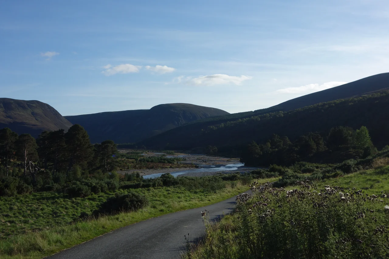

River Feshie
The river ran the wrong way once. The River Feshie begins its life flowing eastward out of the Glenfeshie Forest, headed for the Dee — until the slow geological theft known as stream capture pulled the Geldie Burn into its system, and the whole flow turned sharply northwest down into Glen Feshie instead. From there it tumbles through a wooded glen so geologically active that the river constantly braids itself into multiple channels across its own gravel beds, scouring new lines each spring, abandoning others, never holding still. It gathers burns from the Cairngorm plateau on its right, the Allt Chomhraig from the left at Balachroick, and after slipping under the B970 at Feshiebridge it joins the Spey at Kincraig — a major tributary in the Spey system, named, in the Gaelic, for boggy ground and pasture.
The Glen's Long Lease
The glen has belonged to many people. The east side was Mackintosh land for centuries — the clan whose chief, Aeneas Mackintosh, leased timber rights at Ruigh Aiteachain to the Glen Feshie Wood Company in the late 18th century, when Scottish pinewoods were being felled at industrial pace to feed shipbuilding and construction. The west side was the Forest of Feshie, the hunting ground of the Dukes of Gordon. From 1752 onwards the Gordons leased it to the Macphersons of Invereshie as sheilings — high summer pastures where cattle were taken up to graze on the better grass. In 1804, an early environmental dispute broke out when Mackintosh and George Macpherson Grant of Ballindalloch quarrelled over damage to floodbanks caused by logs being floated downriver. In 1815, Alexander Gordon, the 4th Duke, sold his Glen Feshie holdings to Macpherson Grant. The cycle of ownership had begun its slow drift away from clan tenure toward the great sporting estates.
From Sheep to Deer
The Bedford family arrived in 1818. Georgiana Russell, the Duchess of Bedford, leased the Invereshie shootings from Macpherson Grant and began what would be a decades-long sporting association with the glen — a fashionable English aristocratic family adopting a Highland landscape as their summer hunting ground, a pattern that would soon define large parts of the Scottish Highlands. By 1829 Macpherson Grant was limiting sheep numbers on the upland grazings that his farming tenants depended on. By 1839 he had converted his sheep range in Glen Feshie outright into a deer forest, displacing the surviving small farmers. In the late 1840s the Duchess persuaded Alexander Mackintosh of Mackintosh to do the same on the east side: convert the Bedford shootings into a deer forest. Across two decades, the working agricultural use of Glen Feshie had been rolled up and replaced with sport. Sheep and people gave way to red deer and stalkers — a transformation repeated up and down the Highlands, and one whose ecological consequences are still being worked out today.
The Danish Owner's Rewilding
In 2006, Anders Holch Povlsen, the Danish founder of the Bestseller clothing empire and one of Europe's largest private landowners, bought the Glen Feshie estate. He soon added the neighbouring 4,000-acre Killiehuntly farm. Povlsen's intent in Glen Feshie has been deliberately the opposite of the Victorian conversion to deer forest: cull the deer population aggressively, take the grazing pressure off the native Scots pine, and let the Caledonian pinewood return on its own. The braided river — that geological signature of Glen Feshie — has been a key witness. As deer numbers fell and young pines began regenerating naturally along the river terraces, the visible character of the glen began to shift back toward what it must have looked like centuries ago. The work continues. The river is older than the politics around it. It will keep braiding through whatever the estate becomes next.
From the Air
River Feshie: 57.134°N, 3.908°W, joining the River Spey near Kincraig in the Cairngorms National Park. The river runs roughly north through wooded Glen Feshie, with conspicuous braided channels across gravel flats — visually distinct from most Highland rivers. Surrounded by Caledonian Scots pine on the east bank and rising ground toward the Cairngorm plateau. Best viewed at 2,000–4,000 ft AGL. Nearest airport is Inverness (EGPE), 33 nm north; Aviemore lies 5 nm northeast. The Spey valley provides clean east-west visual navigation along the B970.
Nearby Stories
- Culloden 5.6 km away
- Conon Hydro Scheme 8.3 km away
- Fort Augustus 11 km away
- Dalwhinnie distillery 12 km away
- Battle of Cromdale 13 km away
- Pluscarden Abbey 14 km away
- Battle of Mulroy 17 km away
- Battle of Mons Graupius 32 km away