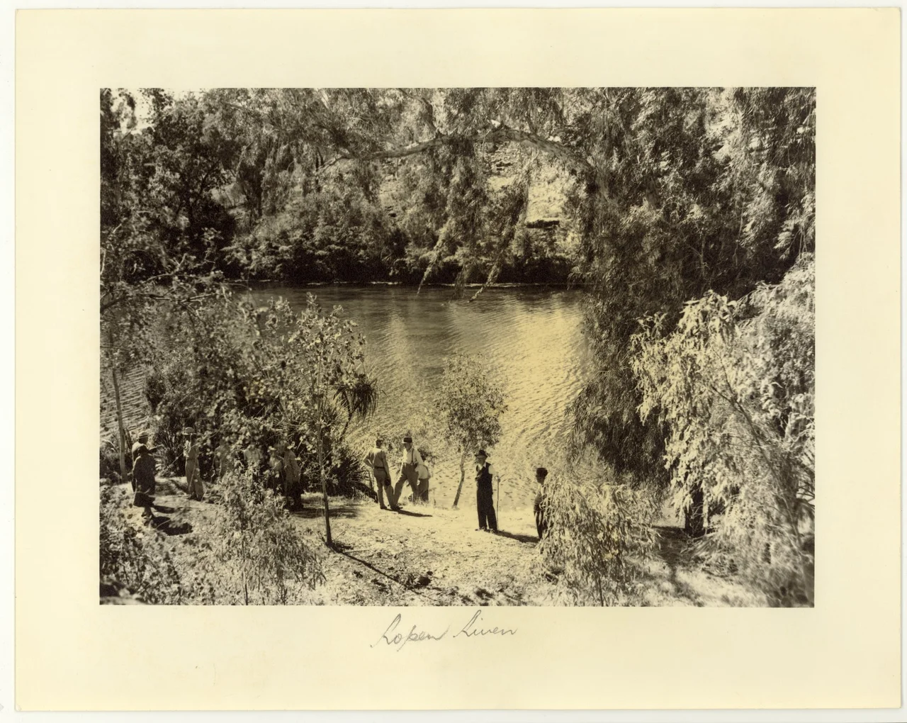
Roper River
Most rivers in the Top End vanish in the dry season, shrinking to chains of muddy pools under a punishing sun. The Roper does not. Fed by groundwater welling up from the limestone springs near Mataranka, it runs all year, one of only a handful of Northern Territory rivers that never stops. That single fact has shaped everything along its 400-kilometre course: the wetlands at its mouth, the barramundi in its channels, and the human communities that have gathered on its banks. The Roper is a lifeline drawn across the savannah, flowing east to the Gulf of Carpentaria and tracing, along the way, the southern boundary of Arnhem Land.
A River That Never Runs Dry
The Roper begins where the Waterhouse River meets Roper Creek, east of Mataranka in Elsey National Park, near the warm thermal pools that draw travellers off the Stuart Highway. From there it gathers fifteen tributaries, among them the Hodgson, the Wilton and the Strangways, and pushes east toward the sea. What sets it apart is its constancy. Sustained by groundwater rather than rain alone, it flows through the dry months when other rivers fail, and its annual floods are no mere inconvenience. They are essential, flushing nutrients downstream to keep the coastal wetlands and the seagrass beds of Limmen Bight alive. Those beds, in turn, feed the turtles, dugong, prawns, crabs and barramundi that make the Gulf so productive.
The Country of Many Tongues
The Roper has never been one people's river. Its traditional owners number nine distinct groups: the Ngalakgan, Alawa, Mangarrayi, Ngandi, Marra, Warndarrang, Nunggubuyu, Ritharrngu-Wagilak and Rembarrnga. Each holds its own country, its own language, its own connection to particular reaches and crossings. This was a meeting place long before Europeans arrived, where neighbouring peoples traded, married and shared ceremony along a shared waterway. That density of language and law makes the Roper one of the most culturally rich river systems in northern Australia, a place where the map of country is not a single block of colour but an intricate mosaic, every piece of it held and known.
Roper Bar and the Explorer's Name
The European name is younger than the river by an immeasurable margin. In 1845, the Prussian-born explorer Ludwig Leichhardt struggled across this country on his epic overland trek from Moreton Bay to Port Essington, and he named the river after John Roper, a young member of his party who first sighted it. The expedition crossed on 24 October 1845 at a rocky shelf that sits, conveniently, right at the tidal limit. That shelf became Roper Bar, the head of navigation: the river is navigable for about 145 kilometres up from its mouth, and saltwater crocodiles patrol much of that tidal length. For decades the bar served as a landing and a river port, a thin link between the remote Gulf country and the wider world.
The Gathering at Ngukurr
Near the lower river stands Ngukurr, a community whose story holds both refuge and rupture. It began in 1908 as the Roper River Mission, established by the Church Missionary Society. The mission drew in people from across the surrounding country, partly as shelter from the frontier violence that was killing Aboriginal people elsewhere in the region, and so it became home to many language groups at once. Out of that gathering grew Kriol, an English-based creole that became a shared tongue, and a collective identity: the people of Ngukurr call themselves Yugul Mangi. Government control of the settlement passed to the Northern Territory's Welfare Branch in 1968, and in 1988 the community took charge of its own affairs, when the township was formally renamed Ngukurr. Today it is a thriving centre of Aboriginal art and culture on the banks of the river that made it possible.
From the Air
The Roper River runs roughly west to east across the southern Top End, reaching the Gulf of Carpentaria at Limmen Bight; the lower river sits near 14.71°S, 135.34°E. From the air the Roper is one of the clearest navigation features in the region, a green ribbon of riverine vegetation winding through dry savannah, broadening into a maze of wetlands, channels and mangroves as it nears the coast. Useful waypoints along its course include Mataranka and Elsey National Park at the western end, the crossing at Roper Bar, and the community of Ngukurr (airstrip YNGU) on the lower river. Other nearby strips are Numbulwar (YNBR) on the coast to the northeast and Borroloola (YBRL) to the south. In the wet season the floodplains can inundate spectacularly; the dry season offers stable air and clear views of the river's full length.
Nearby Stories
- Limmen National Park 11 km away
- Numbulwar 15 km away
- Maria Island, Gulf of Carpentaria 22 km away
- Bickerton Island 132 km away
- Elsey Station 140 km away
- Borroloola 141 km away
- Barunga, Northern Territory 193 km away
- Nitmiluk National Park 240 km away