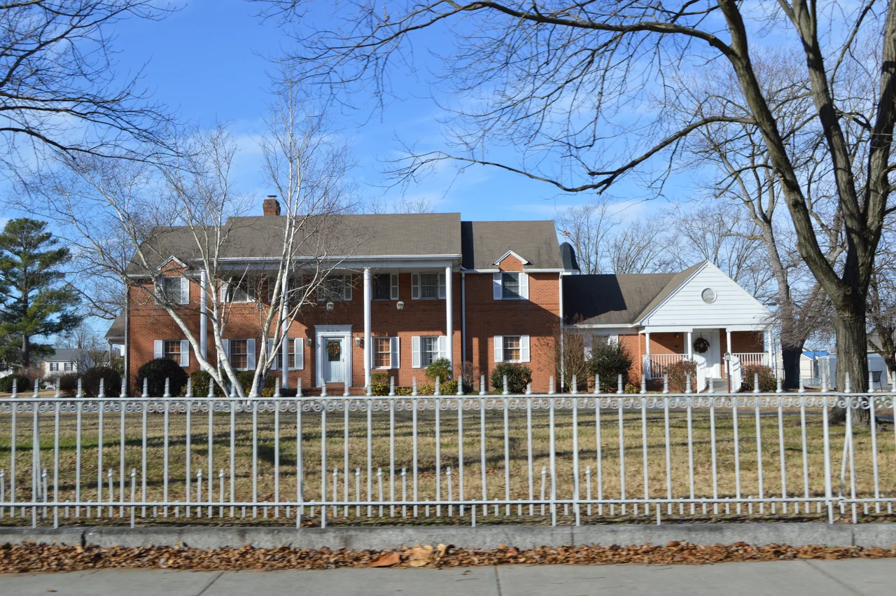

Salisbury, Maryland
Almost every chicken nugget eaten in America starts in a corporate headquarters in downtown Salisbury, Maryland. Perdue Farms, founded in 1920 by Arthur W. Perdue with fifty laying hens in a backyard in Wicomico County, now employs roughly 22,000 people across the country and processes more than three million chickens a day. The company is still family-owned and still headquartered here, in a city of 33,000 people on Maryland's Lower Eastern Shore. When Frank Perdue went on television in 1971 with the slogan 'It takes a tough man to make a tender chicken,' he turned a regional poultry farm into a national brand - and Salisbury into the de facto capital of American industrial poultry.
The Crossroads of the Lower Shore
Salisbury sits at the head of navigation on the Wicomico River, a tributary that opens into the Chesapeake. The town was laid out in 1732 at a portage between water systems, and it stayed a shipping point - first for tobacco, then for grain and seafood, then for poultry. Two major highways now intersect just outside town. US 13 runs the length of the Delmarva Peninsula, from Dover through Salisbury to Norfolk; US 50 carries summer beach traffic from Washington and Baltimore to Ocean City. The combined daily count of cars passing through tells the story of the Eastern Shore: agricultural, military, and recreational currents all going through the same intersection. The Salisbury metropolitan area covers Somerset, Wicomico, and Worcester counties in Maryland plus Sussex County in Delaware. It is the only metro on the Lower Shore - the closest comparable city is Wilmington, eighty miles north - and that gives Salisbury a centrality that punches above its population.
Matthew Williams and the Sign
Three Black men were lynched in Wicomico County between the late 1800s and 1933. Garfield King was hanged next to the Salisbury courthouse in 1898 after a shooting altercation. Matthew Williams was hanged on the courthouse lawn in December 1931 after being accused of murdering his employer; a mob of three hundred white men threw Williams from a second-floor window of the Peninsula General Hospital while he was recovering from his own gunshot wounds, then dragged his body behind a truck to the courthouse, hanged him, paraded the body through the Black neighborhood as a warning, and burned the body. It was the thirty-second lynching in Maryland since 1882. No one was prosecuted. On the lawn where Williams was killed stood a memorial to Confederate General John H. Winder. A 2018 documentary, The Sign, traced the conflict between the lynching site and the Confederate marker. In January 2020 the city formed a Lynching Memorial Task Force, working with the Equal Justice Initiative's Community Remembrance Project to build a permanent monument to the three men killed. The Confederate sign came down. The reckoning came late, but it came.
Salisbury University and the Sea Gull Century
Salisbury University, founded in 1925 as a teachers' college, now enrolls about 7,500 students on a campus of brick Georgian buildings. The university is the cultural and economic anchor of the city outside the chicken industry, employing thousands and producing teachers, nurses, and biologists for the entire mid-Atlantic. The Sea Gulls athletic program competes at Division III; the men's lacrosse team has won thirteen national championships, making it one of the most decorated Division III lacrosse programs in the country. Each October, the university hosts the Sea Gull Century, a 100-mile cycling event that draws nearly 8,000 riders to the flat back roads of the Eastern Shore. The route winds past Perdue chicken houses, melon fields, and small Methodist churches before looping back to the campus. For one Saturday a year, the eastern Maryland countryside is more bicycles than pickups.
Kindness USA
In 2017 the World Kindness Movement, an international organization founded in Tokyo in 1997, designated Salisbury as the first World Kindness USA City. The city now hosts Dance for Kindness, a freeze-mob and flash-mob event held downtown each Sunday before World Kindness Day in November. The designation came after years of community work led by then-Mayor Jake Day and local nonprofits, including a Youth Leadership Academy that developed leadership skills in students from eighth through eleventh grade, and Hope and Life Outreach, which runs the Code Blue shelter for the homeless. In 2010 the National Civic League had named Salisbury an All-America City. The two designations together describe a town that has tried hard to be deliberate about what kind of place it is - including reckoning with its own history of cruelty. The Kindness City and the Lynching Memorial Task Force exist on the same city map, two efforts to define a town not by what it has always done but by what it intends to be.
The Shorebirds and the Folk Festival
The Delmarva Shorebirds play single-A baseball at Arthur W. Perdue Stadium, a 5,200-seat ballpark named for the founder of Perdue Farms. The Shorebirds are a Baltimore Orioles affiliate; future major-leaguers stop here for a season on the way up. The stadium also houses the Eastern Shore Baseball Hall of Fame, with exhibits on the Eastern Shore Baseball League that ran from 1922 to 1949 and produced Hall of Famers like Jimmie Foxx, who grew up in nearby Sudlersville. The National Folk Festival came to Salisbury in 2018 and stayed through 2022; in 2023 the city kept the festival as the Maryland Folk Festival, an annual three-day downtown event with multiple stages of free music. The Salisbury Zoo, founded in 1954, is one of the few accredited zoos in the country that charges no admission - a deliberate civic choice, and a fixture for generations of Eastern Shore kids who first met a llama there. The Ward Museum of Wildfowl Art, the Edward H. Nabb Center for Delmarva History and Culture, and Poplar Hill Mansion fill out the cultural circuit. For a city its size, Salisbury punches several categories above its weight.
From the Air
Salisbury lies at 38.36 degrees north, 75.60 degrees west, on the Wicomico River at the head of navigation. Salisbury Regional (KSBY), three nautical miles southeast of downtown, offers daily American Eagle service to Philadelphia and Charlotte and is the principal commercial field for the Lower Shore. The terrain is flat: the highest point in Worcester County to the east is 49 feet above sea level. Ocean City Municipal (KOXB) lies 24 nautical miles east, Cambridge-Dorchester (KCGE) 30 northwest. Pattern altitudes of 1,500 feet AGL give a clean view of the city, the river, and the surrounding agricultural land - largely corn, soybeans, and chicken houses. Watch for active Restricted Areas south near Wallops Flight Facility during rocket launches.
Nearby Stories
- Assateague Island National Seashore 7.2 km away
- Berlin, Maryland 8.5 km away
- Somerset County, Maryland 11 km away
- Point Lookout Light 12 km away
- Rehoboth Beach 14 km away
- Punkin Chunkin 20 km away
- St. Mary's City, Maryland 27 km away
- Columbia Air Center 38 km away