San Pasqual Battlefield State Historic Park
On a clear December morning in 1846, General Stephen Kearny led his Army of the West into San Pasqual Valley expecting a skirmish. What he got was a disaster. The Californio lancers under General Andres Pico were rested, armed with long lances, and riding horses they knew well. Kearny's men were exhausted from weeks of travel across the desert and mounted on mules. In minutes, lances cut through the American column. When the fighting ended, seventeen Americans were dead and eighteen wounded. Kearny himself was injured. It was the bloodiest engagement of the California conquest, and the 50-acre park that marks the site ensures it is not forgotten.
What Happened on December 6
The Battle of San Pasqual unfolded at dawn. Kearny's forces, coming west from the desert toward San Diego, had learned that a force of Californios was camped in the valley. His plan was to attack before they could organize. But the Americans' firearms were wet and misfiring, their horses and mules worn down by months of hard travel, and the cold morning had stiffened their limbs.
Pico's lancers were none of those things. They counterattacked with mounted speed that Kearny's exhausted soldiers could not match. The lance — a cavalry weapon that Americans had largely moved away from — proved devastatingly effective against men whose guns would not fire. The Californios struck and withdrew, struck again, and when the short fight was over, the Americans held the field in the technical sense but had lost catastrophically in every practical one. Kearny's survivors fell back to a small rise that became known as Mule Hill, where they were surrounded for four days before relief came from San Diego.
Preserving the Ground
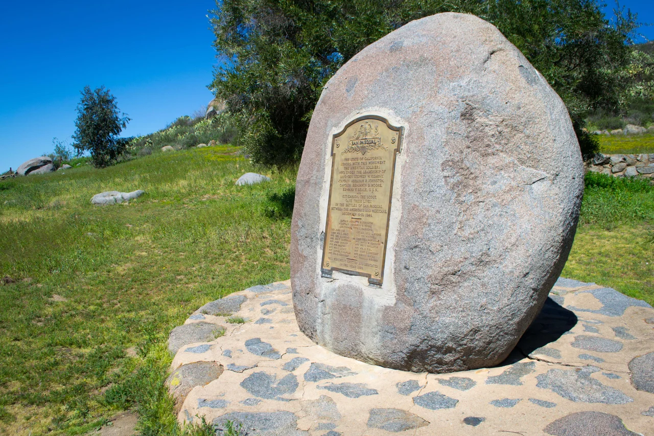
The Native Sons of the Golden West were central to creating the park that now marks the battlefield. They raised money, worked to preserve the site, and eventually transferred it to the state of California — an organization that sometimes moves slowly on such matters, but has maintained the park since. It carries dual designations: it is both a California State Park and a California Historical Landmark.
The 50-acre site sits on San Pasqual Valley Road south of Escondido, on Highway 78, adjacent to the San Diego Zoo Safari Park. The two neighbors make an unlikely pair — one devoted to preserving the memory of combat, the other to displaying living animals from around the world. Both draw visitors who come to this valley for reasons that have nothing to do with each other, and who might not know about the battle that made San Pasqual a name worth remembering.
Living History in the Valley
The San Pasqual Battlefield Volunteer Association maintains an active presence at the park, offering living history presentations that bring the battle's participants to life. Volunteers portray American dragoons, Californio lancers, and the Kumeyaay people who lived in the valley and watched the war move through their homeland. The Kumeyaay's role in the aftermath — their leader Jose Pedro Panto calling for a ceasefire so they could tend to the American wounded, then resupplying Kearny's forces — is a part of the story that the battlefield's physical markers alone cannot convey.
The battle has a complicated legacy. Andres Pico and his lancers won the engagement. They defended their homeland with skill and courage against a better-equipped force. The Americans ultimately prevailed in the broader war, but not because of what happened here. San Pasqual was a Californio victory, and the park that honors 'the soldiers who fought' on both sides is candid about that. The outcome of a battle and the outcome of a war are different things, and this valley witnessed both.
A Valley That Holds Its History
San Pasqual Valley has been shaped by what happened here in December 1846. The place names — Mule Hill, San Pasqual, the battlefield park itself — carry the memory of those days even for people who drive through without knowing why the names sound weighted. The Safari Park that occupies much of the valley draws millions of visitors who come for the giraffes and the rhinos, not the lancers. But the park is there, small and serious, on Highway 78, for anyone who wants to understand what the valley cost to acquire.
From the Air
San Pasqual Battlefield State Historic Park is located at approximately 33.086°N, 116.99°W on San Pasqual Valley Road in San Diego County, adjacent to the San Diego Zoo Safari Park. The valley runs east-west and is visible from altitude along Highway 78 between Escondido and Ramona. Nearest airports: KSAN (San Diego International, ~25 nm SW), KMYF (Montgomery Field, ~17 nm SW), KSEE (Gillespie Field, ~17 nm S).
Nearby Stories
- Museum of Creation and Earth History 6.8 km away
- Borrego Valley Maneuver Area 11 km away
- Martinez Canyon Rockhouse 13 km away
- Manzanita Band of Diegueno Mission Indians 13 km away
- Aliso Canyon 21 km away
- Cahuilla Band of Indians 22 km away
- Mission Basilica San Juan Capistrano 47 km away
- USS Agerholm 198 km away