Manzanita Band of Diegueno Mission Indians
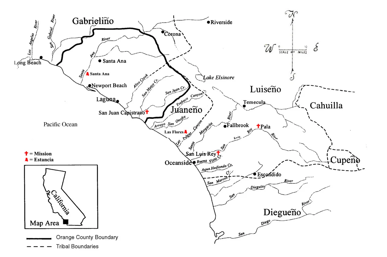
When Spanish expeditions arrived in 1769 along the coast of what they called Alta California, between 50 and 75 distinct Kumeyaay bands occupied the territory that is now San Diego County. The Manzanita Band lived then, as their descendants live now, in the southern Laguna Mountains near Boulevard — the kind of community whose persistence through mission, reservation, and termination-era federal policy represents not merely survival but the sustained, active maintenance of a culture that the surrounding world repeatedly tried to eliminate.
The World in Bird Songs
The Bird Songs are among the most important cultural practices the Manzanita Band and other Kumeyaay groups maintain. These are not casual performances but a comprehensive system for encoding and transmitting knowledge — about geography, relationships, history, and the proper way to move through the world. The songs carry what written cultures put in libraries: accumulated wisdom about specific places, events, and the connections between human communities and the natural world around them. Learning the Bird Songs requires years of sustained engagement with elders who hold the repertoire in memory. Their continuation is an act of cultural infrastructure as significant as building a school or maintaining a language.
Eagle Dance and Ceremony
The Eagle Dance is among the ceremonial practices that connect Kumeyaay communities to the broader world of relationships they navigate — between people, between generations, between human communities and the non-human world they inhabit. Ceremonial life functions as the mechanism through which communities renew their commitments to each other and to the values that sustain them. For the Manzanita Band, as for other Kumeyaay groups, these practices persisted through the mission era's enforced suppression, the reservation period's administrative attempts at cultural replacement, and the twentieth century's particular mix of assimilationist pressure and studied neglect.
Shiimull and Kwaaypaay
Kumeyaay social organization centered on the shiimull — family-based social units that governed daily life and organized labor, ceremony, and collective decision-making. Each shiimull was guided by a kwaaypaay, whose authority derived from knowledge, skill, and the community's trust rather than hereditary succession alone. This system distributed leadership across multiple loci rather than concentrating it in a single ruler — a structure that proved resilient precisely because it didn't depend on any single point of failure. When Spanish and later American authorities disrupted Kumeyaay governance, they found that eliminating or co-opting one leader didn't collapse the social structure.
Basket Weaving and Ecological Knowledge
The basket weaving traditions of the Kumeyaay encode botanical knowledge that accumulated over thousands of years of intimate relationship with Southern California's plant communities. The specific plants that produce fibers suitable for weaving, the timing of their harvest, the processing techniques that make them workable, the designs that identify particular community traditions — all of this represents a kind of distributed ecological intelligence that basket-making practice preserves and transmits. The Manzanita Band's basket weaving connects contemporary tribal members to this inheritance while creating objects that are simultaneously functional, beautiful, and epistemologically significant.
Water in the Mountains
The Manzanita Band's territory in the southern Laguna Mountains is defined partly by water: the sources of moisture in an arid region, the springs and seeps that made particular locations habitable. Kumeyaay communities built dams and water management features that extended the productive capacity of their landscapes — infrastructure whose traces are still detectable in some locations. The area near Boulevard sits at an elevation that captures some precipitation from winter storms while remaining dry enough for much of the year to make water access a persistent organizational concern. The community's historical relationship with this terrain was shaped around that constraint.
From the Air
The Manzanita Reservation sits at approximately 32.75°N, 116.35°W near Boulevard in the southern Laguna Mountains of San Diego County. The elevation here is around 3,000-4,000 feet, in the zone where mountain chaparral transitions toward high desert scrub. The community is small and rural, set in the hills along State Route 94. El Centro Regional Airport (KELN) and Brown Field (KSDM) are the nearest facilities. The Laguna Mountains form the backdrop to the north as seen from the air.
Nearby Stories
- El Vallecito 5.3 km away
- Mesa Grande Band of Diegueno Mission Indians 5.6 km away
- Sycuan Band of the Kumeyaay Nation 11 km away
- The Slot at Anza-Borrego 12 km away
- Mount Signal Solar 12 km away
- Imperial Valley Geothermal Project 14 km away
- Laguna Salada 18 km away
- Tijuana: The Border City That Became Its Own Third Country 30 km away