Sand to Snow National Monument
The name does almost all the work. Sand to Snow National Monument rises from the valley floor at roughly 1,000 feet elevation to the peaks of the San Bernardino Mountains at over 11,000 feet, compressing within 154,000 acres a vertical journey that takes a traveler from Sonoran Desert creosote and sand verbena through chaparral, oak woodland, conifer forest, and finally to the exposed granite summits where snow lingers into summer. It is the most botanically rich national monument in the United States — a designation earned by the sheer improbability of what survives at each elevation within this one connected landscape.
Twenty Years in the Making
President Obama designated Sand to Snow National Monument on February 12, 2016, but the monument's existence traces to work that began in the 1990s. The Wildlands Conservancy undertook a two-decade effort to assemble the land that would become the monument, acquiring more than 60,000 acres through purchase and donation and transferring them to public ownership. The goal was connectivity: creating a protected corridor that would allow species to move between the valley floor and the mountain summits, following elevation as climate changed. The conservancy's investment of time and resources in that project made the monument's eventual designation possible, because the land had already been consolidated into a coherent unit rather than scattered parcels requiring complicated negotiations.
The Wilderness at Its Core
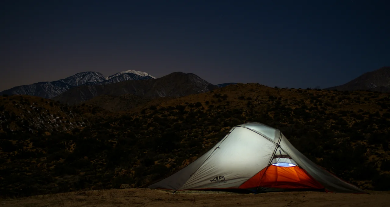
At the center of Sand to Snow lies the San Gorgonio Wilderness, designated in 1964 and containing more than 100,000 acres of protected backcountry. San Gorgonio Mountain — at 11,503 feet the highest peak in Southern California — anchors the wilderness and the monument alike. The mountain catches winter storms moving in from the Pacific, generating the snowpack that feeds streams descending to both the Coachella Valley and the Los Angeles Basin. Below the wilderness boundary the monument encompasses chaparral and oak woodland zones that provide habitat for mountain lions, mule deer, and black bears alongside the songbirds and raptors that use the elevation gradient for seasonal movement.
The Richest Ground in the Monument System
The botanical richness that distinguishes Sand to Snow from other national monuments derives from the compression of biotic zones over a short horizontal distance. Plant communities that might be separated by hundreds of miles of latitude in other regions are stacked vertically here. Desert species at the base, riparian species along canyon streams, chaparral species on the mid-elevation slopes, and subalpine species near the peaks all occur within a single protected unit. The transition zones between these communities — the ecotones where species from adjacent zones overlap — are often the most productive areas for wildlife, and Sand to Snow has them at every elevation. This botanical diversity is not abstract; it translates to a diversity of insects, birds, and mammals that tracks plant community boundaries across the monument.
Two Managers, One Landscape
The Bureau of Land Management oversees 83,000 acres of Sand to Snow, primarily the lower elevation portions near the valley floor, while the US Forest Service manages the remaining 71,000 acres in the higher mountain terrain. The two-agency arrangement is common in large western landscapes assembled from existing jurisdictions, and it requires coordination that is not always seamless. For visitors, the practical effect is that different areas of the monument operate under different management regimes, with varying rules about camping, off-road vehicles, and developed facilities. What unites the monument across both management zones is the elevation gradient — the physical reality of the land itself, rising from sand to snow in a single unbroken landscape.
From the Air
Sand to Snow National Monument occupies the terrain at 34.08°N, 116.68°W between the Coachella Valley floor and the San Bernardino Mountain summits. From cruising altitude the monument's extent is unmistakable: the pale Coachella Valley gives way to increasingly rugged terrain climbing toward the white-capped peaks of the San Bernardino range. San Gorgonio Mountain (11,503 ft) is the highest visible summit in Southern California and appears prominently from the north and west. Nearest airports: KPSP (Palm Springs International, approximately 20 miles southeast), KBNG (Big Bear City Airport, approximately 25 miles north).
Nearby Stories
- Tell Them Willie Boy Is Here 1.7 km away
- Murders of Jan Pietrzak and Quiana Jenkins-Pietrzak 4 km away
- Rancho Mirage Library and Observatory 11 km away
- Cholla Cactus Garden 13 km away
- San Bernardino Train Disaster 29 km away
- Tenaja Fire 31 km away
- Amboy Crater 36 km away
- Edwards Air Force Base 102 km away