Amboy Crater
The lava field surrounding Amboy Crater covers 70 square kilometers of the Mojave Desert floor — black basalt spread across the pale sand like a stain, still sharp-edged in places where the rock cooled too fast to weather smooth. The volcano that made it is dormant, its last eruption estimated at roughly 10,000 years ago. Inside the crater, a solidified lava lake fills the bowl that was once open to the sky. It looks, from above, like a place where the planet was thinking hard about something and then changed its mind.
What the Lava Field Is
Amboy Crater is a cinder cone — a roughly symmetrical hill built from the loose fragments of solidified lava that a volcano ejects. The field around it formed from successive lava flows that spread across the desert floor over thousands of years of intermittent activity. The flows preserved the shapes of their movement: pressure ridges, ropy pahoehoe textures in some places, rough block lava in others.
The crater's interior holds a feature that distinguishes it from most cinder cones: a solidified lava lake, the remnant of a time when molten rock pooled inside the bowl before the eruptions ceased. Hiking trails allow visitors to reach the rim and look down into this frozen pool, which still holds the circular form of the lake it once was.
Hollywood Goes Underground
In 1959, a film crew working on Journey to the Center of the Earth needed to simulate the appearance of an underground volcanic landscape. Amboy Crater was their solution. The production team lit fires inside the crater to create visual effects that would read, on screen, as the deep earth. The crater provided what a studio set couldn't: genuine volcanic scale, genuine lava rock, genuine desolation.
The film was not the last time Amboy Crater attracted people who needed the desert to look like something extreme. The lava field's visual texture — dark against light, sharp against smooth — has made it useful to anyone who needs a landscape that reads as alien or primordial. The desert has no objection to being used this way.
The Astronauts Who Trained Here
Before Apollo 15's crew flew to the Moon in 1971, they flew over Amboy Crater. NASA used overflights of volcanic features in the American West to train astronauts in geological observation — teaching them to identify rock types, estimate ages, and describe landforms in the precise language that scientists on Earth would need. The Mojave's volcanic fields, including Amboy's cinder cone and lava field, provided a terrestrial analog for the lunar surface.
Apollo 15 was particularly focused on geology; its crew brought back more samples and conducted more surface experiments than any previous mission. The training that included places like Amboy Crater was part of what made that possible. The connection between this quiet piece of desert and the surface of the Moon is less improbable than it sounds: both are landscapes shaped by volcanic processes, preserved in conditions that allow their history to be read.
The Crater Today
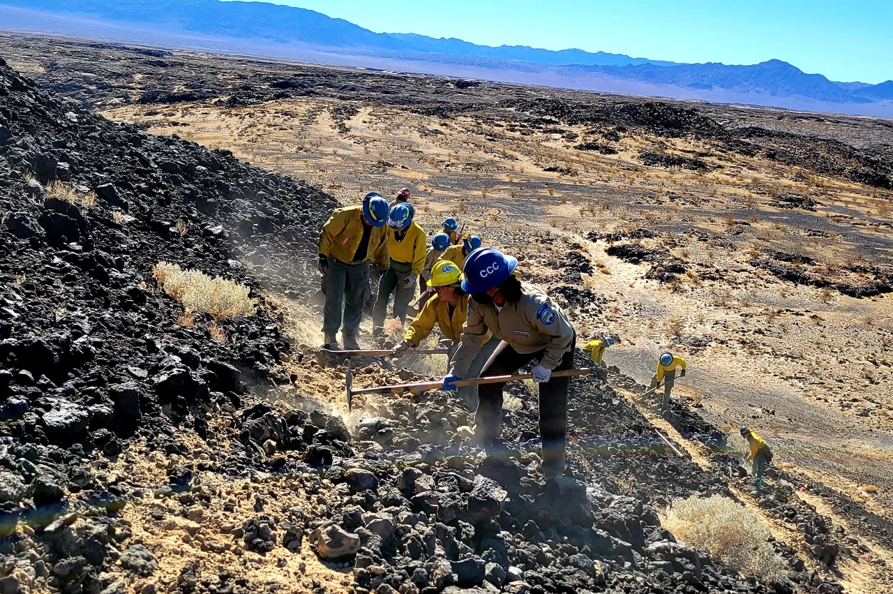
The Bureau of Land Management administers Amboy Crater as part of the larger Mojave Trails National Monument, designated in 2016. A trail leads from the parking area across the lava field to the crater rim, crossing basalt that crunches underfoot and catches the heat of the desert sun long after the air cools. The hike is about two miles each way, through terrain that has changed little since the last eruption.
Amboy town — a handful of buildings including Roy's Motel and Café — sits a few miles west along Route 66. The crater is the reason Amboy exists in the landscape it does: volcanic activity that shaped the terrain, that made this particular piece of desert look the way it looks, that drew the film crews and the astronauts and the geologists who saw in the black lava something worth examining.
From the Air
Located at 34.544°N, 115.791°W near Amboy in San Bernardino County. The cinder cone and surrounding black lava field are dramatically visible from the air — a dark oval against the pale desert floor. The crater's circular form is clearest from higher altitudes. Nearest airport: Twentynine Palms Airport (TNP), approximately 40 miles southwest.
Nearby Stories
- Landers 2.7 km away
- Granite Mountains (Eastern San Bernardino County) 7.6 km away
- Wonder Valley, California 18 km away
- Lavic Lake Volcanic Field 21 km away
- Camp Cady 26 km away
- London Bridge (Lake Havasu City) 89 km away
- Poston War Relocation Center 90 km away
- Boulder City and Hoover Dam 138 km away