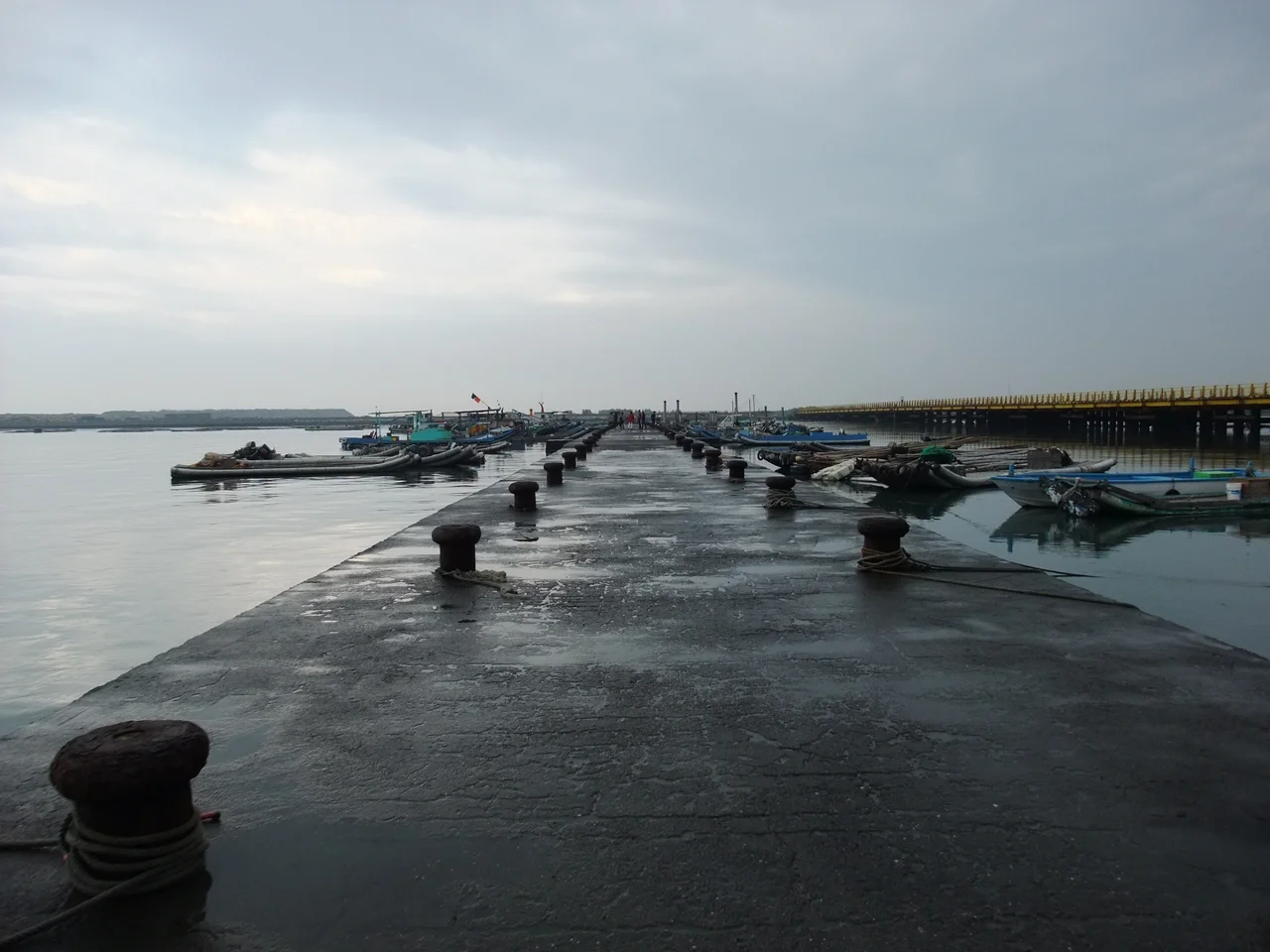

Taixi, Yunlin
Taiwan has Taipei in the north, Taichung in the center, Tainan in the south, and Taitung to the east. For decades, this set of cardinal directions was missing one member. No city or town bore the name Taixi — 'Taiwan-West.' In 1941, colonial administrators solved this problem with characteristic bureaucratic tidiness: they renamed a small coastal township on the approximate middle of Taiwan's west coast. The place had been called Haikou, meaning 'seaport' or 'river mouth,' for centuries. From that year forward, it would fill the gap in the map. The residents of Taixi did not choose the name. The name chose them.
Built on a River Mouth
Long before the name change, the place earned its original name honestly. Haikou sat where the Huwei River meets the Taiwan Strait, and that geography made it something: a port. Families from Fujian — the Chens, the Changs, the Wus, the Lins, the Tings, bearing the common surnames of the Zhangzhou and Quanzhou regions — crossed the strait during the Kangxi era of the Qing Dynasty and began working the land and the water. Through the reigns of the Yongzheng and Qianlong emperors, the settlement grew. Ships came and went. Trade moved through the river mouth. By the height of the Qianlong era, Haikou was thriving.
The Storm That Changed Everything
In 1898, a single storm erased generations of prosperity. The typhoon brought the kind of rain that loosens mountains — floods carrying debris and silt down from the inland hills, into the Huwei River, and out to its mouth, where it settled. The port silted up almost overnight. Ships that had once anchored in Haikou's harbor could no longer reach it. Trade diverted to deeper ports. The town that had flourished on maritime commerce found itself stranded a few hundred meters from the sea with no way to reach it. Taixi has never fully recovered. The population today numbers around 22,000 people spread across 15 villages — a quiet township on a coast that once expected more.
Oysters and Industry
After the port closed, Taixi's coastal waters found a different purpose. Oyster farming became a livelihood for local families, the shallow, murky waters of the Taiwan Strait proving well-suited to the work. For nearly a century, the tidal flats were cultivated rather than navigated. Then, in 1991, those same waters were rezoned for offshore industrial use — a decision that displaced traditional aquaculture and reshaped the community's relationship with its own coastline. The tension between industrial development and traditional fishing livelihoods has played out across Taiwan's western coast, and Taixi has not been spared it.
The Wetlands at the Edge of Town
What draws visitors to Taixi today is not the town itself but what lies beyond it. The Taixi Seaside Park, built in 1992 by the Yunlin County Government, covers 121 hectares of primarily wetland habitat along the coast. Fiddler crabs work the tidal flats, raising their oversized claws in the sun. Mudskippers drag themselves across exposed mud with their pectoral fins. Egrets and herons stalk the shallows. During migration season, the park becomes a temporary home for birds traveling between northern and southern Asia. Mangroves and cacti grow together at the water's edge in the particular way that Taiwan's coastline — subtropical but wind-scoured — tends to produce.
A Name Bigger Than the Town
There is something quietly odd about Taixi's identity. It was named not for anything about itself — not for a landmark, a founder, a geographic feature, or a local story — but to complete a set. Taiwan-North, Taiwan-Center, Taiwan-East, Taiwan-South, and now Taiwan-West. The township of roughly 22,000 people carries a name that implies symmetry and national significance. The place itself is small, agricultural, and still carrying the weight of that 1898 storm. The gap in the map has been filled. The gap left by the silted-up harbor has never been.
From the Air
Taixi Township lies at 23.70°N, 120.20°E on Yunlin County's Taiwan Strait coastline, approximately midway up Taiwan's west coast. The township is flat and largely agricultural, with wetland habitat visible along the coast. Nearest major airport is RCKU (Chiayi Airport), approximately 40 km to the south. The Taixi Seaside Park's wetlands are visible from low altitudes as a patchwork of tidal flats and water channels. The industrial zone to the north, near Mailiao, includes prominent petrochemical facilities visible from the air.
Nearby Stories
- High-Heel Wedding Church 9.2 km away
- Ren'ai Township 10 km away
- Penghu Air Raids 17 km away
- Namasia District 19 km away
- Fenqihu 19 km away
- Fangyuan Lighthouse 28 km away
- Daya Bay 518 km away
- Battle of Xiapi 1170 km away