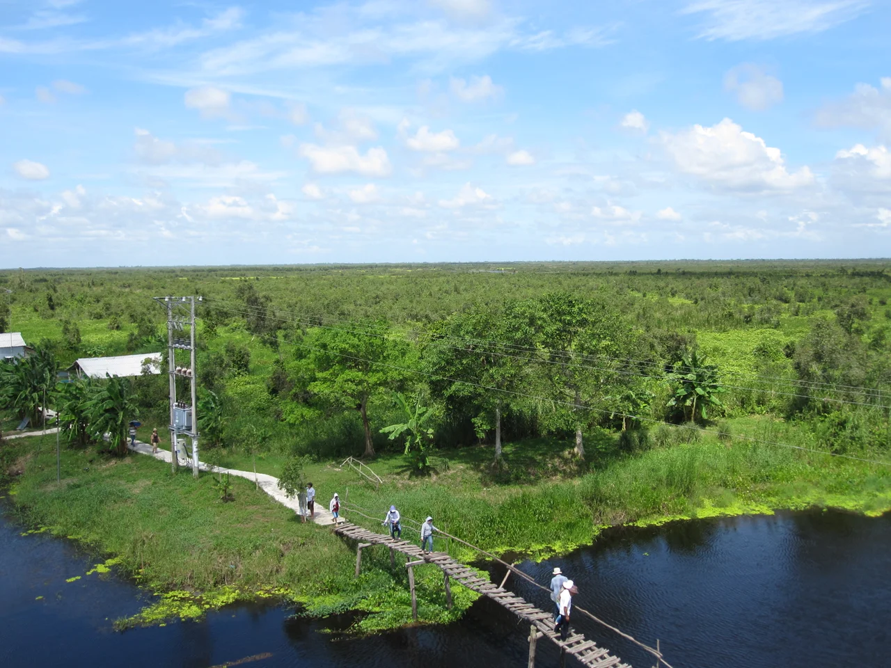

U Minh district
Linda came ashore on the Cà Mau coast on 2 November 1997, and the boats were out. Vietnam's southwestern fishing fleet works the Gulf of Thailand in early November as a matter of routine, because storms are supposed to stop short of this latitude. This one did not. By the time the accounting was finished, 3,111 people had died across the country, tens of thousands of houses were gone, and the losses fell hardest on families in exactly this position — a coastline of low, salty floodplain in the far southwest, with nothing between it and the water. U Minh district faced that gulf along its western edge.
The Water That Comes From Both Directions
There is no high ground here. U Minh occupied roughly 770 square kilometres on the western flank of the Cà Mau peninsula, and the terrain description runs to five flat words: mostly flat, salty floodplains. Freshwater arrives from above in the wet monsoon; saltwater pushes in from the Gulf of Thailand and up the canals whenever the rivers run low. Farming here has always meant negotiating between the two, and in recent decades the negotiation has increasingly been settled in favour of brackish-water shrimp. The district bordered U Minh Thượng to the north in Kiên Giang province, Trần Văn Thời to the south, and Thới Bình to the east — all of them variations on the same theme of water, canal and reclaimed swamp.
The Forest in the Name
U Minh is not just an administrative label; it is the name of a forest with a reputation. The tràm — melaleuca — peat swamps that spread across the base of the peninsula were, for most of their recorded history, a place people went to disappear into rather than to visit. The district took in a share of that forest, including the communes of Khánh Lâm and Khánh An, which now form part of U Minh Hạ National Park. UNESCO's Mũi Cà Mau Biosphere Reserve reaches into the same ground. Beekeeping, eel catching and freshwater fishing have long supplemented rice and shrimp for households living at the forest edge.
Eight Names, Then Four
For most of its life the district was divided into eight commune-level units: the township of U Minh, which served as its seat, and the rural communes of Nguyễn Phích, Khánh Hội, Khánh Hòa, Khánh Tiến, Khánh Thuận, Khánh Lâm and Khánh An. The 2019 census counted 100,876 people among them. That cluster of Khánh names is not coincidence — it reflects a pattern of village naming laid down as the delta was cleared and settled, one commune budding off another. In 2025 the eight were consolidated into four: U Minh, Nguyễn Phích, Khánh Lâm and Khánh An.
Gas Beneath the Shrimp Ponds
Khánh An commune holds something no one would predict from the landscape. The Cà Mau Gas–Electricity–Fertilizer Complex sits here, fed by offshore gas from the Gulf of Thailand and turning it into power and urea for the delta's farms. Cooling stacks and transmission towers rise out of a horizon otherwise measured in dikes and canal banks. It is a substantial industrial installation, and it sits a short distance from peat swamp where families still keep bees for honey — an adjacency that captures modern Cà Mau better than either scene would on its own.
Erased From the Map, Not the Ground
On 12 June 2025 Vietnam's National Assembly passed Resolution 202/2025, folding Bạc Liêu province into Cà Mau; four days later, Resolution 203/2025 rewrote the constitution to abolish the country's entire district tier. From 1 July 2025, U Minh district no longer existed; its communes now report directly to the province. Nothing physical changed. The canals still run where they ran, the tràm still floods in August, the boats still leave from the western communes. But an administrative unit that had existed since 29 December 1978 was closed out with a signature, and the district's name survives now mainly in the forest and the national park that carry it.
From the Air
Centred on 9.4092°N, 104.9695°E, roughly 30 km north-northwest of Cà Mau city and about 12 km inland from the Gulf of Thailand. The whole area lies within a metre or two of sea level; there is no terrain, and no obstacle worth the name apart from the stacks and towers of the gas-and-fertilizer complex at Khánh An. From 2,500–5,000 ft the navigation cues are entirely man-made: an orthogonal grid of canals, the coastal dike line to the west, and the dark tràm canopy of U Minh Hạ to the south. Nearest airfields are Cà Mau (VVCM/CAH) about 30 km south-southeast and Rạch Giá (VVRG) some 70 km north. Visibility is best in the December–April dry season; wet-monsoon afternoons bring heavy convective build-ups off the gulf.
Nearby Stories
- Bạc Liêu 12 km away
- Sông Đốc 16 km away
- Tonle Sap–Mekong Peat Swamp Forests 38 km away
- Ngã Bảy 42 km away
- An Thoi Naval Base 58 km away
- Phú Quốc Prison 83 km away
- Con Son Island 133 km away
- Japanese destroyer Shigure (1935) 356 km away