
Ulster
The Ulaid were a confederation of tribes who once dwelt in the northern part of Ireland, and they gave the place its name. Long before they were a people in history, they were a people in legend - the heroes of the Ulster Cycle, the warriors of Emain Macha, the kingdom whose foremost champion Cúchulainn defended single-handedly against the cattle-raid of Connacht in the great Irish epic the Táin Bó Cúailnge. From the Old Norse Ulaztir, the land of the Ulaidh, came the English Ulster. Today, nine counties carry that name. Six of them are in Northern Ireland; three - Donegal, Cavan and Monaghan - are in the Republic. No other Irish province lives quite so visibly across a border.
The Northern Kingdoms
Three ancient overkingdoms once divided Ulster between them: Ulaid in the east, Airgíalla in the centre, and Ailech in the west and north. The Cenél nEógain, a branch of the Northern Uí Néill, gradually pushed the Ulaid east of the River Bann and made Tír Eóghain - most of modern County Tyrone - their base. From this dynasty came several High Kings of Ireland, including Áed Findliath, Niall Glúndub and Domnall ua Néill. The O'Neills, who emerged from the Cenél nEógain in the thirteenth century, would dominate the region for the next four hundred years, claiming the title King of Ulster and using the Red Hand of Ulster as their symbol. The Norman invasion of the twelfth century briefly carved out an Earldom of Ulster across modern Antrim and Down, but by the fourteenth century the Gaelic lords had absorbed it back.
The Earls Depart
Ulster was the last Gaelic redoubt. After Elizabeth I's forces crushed the Gaelic alliance at the Battle of Kinsale in 1601 and the broader Nine Years' War ended in 1603, the northern lords found their power circumscribed. In 1607, the earls of Tyrone and Tyrconnell - Hugh O'Neill and Rory O'Donnell - sailed from Rathmullan on Lough Swilly for Catholic Europe, hoping to return with Spanish help. They never did. The Flight of the Earls cleared the way for the Plantation of Ulster, which began in earnest in 1610. The Counties Tyrconnell, Tyrone, Fermanagh, Cavan, Coleraine and Armagh formed the official colony; Antrim and Down were privately settled. By the 1690s, after another wave of Scottish migration during the Williamite War and the Scottish famine, Presbyterians had become the majority community in the province.
The Scotch-Irish
Excluded from political power by the Anglican Protestant Ascendancy after 1690, Ulster Presbyterians began voting with their feet. Between 1717 and the 1770s, around 150,000 of them sailed for colonial America. They settled first in Pennsylvania and western Virginia, then pushed southwest into the Appalachian backcountry - Kentucky, Tennessee, the Carolinas - where their culture became the dominant culture of the Upland South. The 2000 US Census recorded 4.3 million Americans claiming Scotch-Irish ancestry, and many millions more in regions like northern Texas list themselves simply as "American," with no further qualification. Senator Jim Webb argued in Born Fighting that traits associated with the Scotch-Irish - loyalty to kin, distrust of central government, willingness to bear arms - helped shape an enduring strand of the American identity.
The Province Divided
When Ireland was partitioned in 1921, the line cut Ulster in two. Six counties (Antrim, Armagh, Down, Fermanagh, Londonderry and Tyrone) became Northern Ireland; the remaining three (Cavan, Donegal and Monaghan) joined the Irish Free State. The choice was deliberate. Unionists wanted a territory big enough to be viable but small enough to guarantee a Protestant majority. Donegal, planted in the seventeenth century but largely Catholic by 1920, was on the wrong side of that calculation and ended up in the Free State. The traditional nine-county province survives as a cultural and sporting unit - Ulster Rugby plays in the United Rugby Championship, the GAA's Ulster Championship spans the border each summer - but politically, there are now two Ulsters.
The Lakes and the Lava
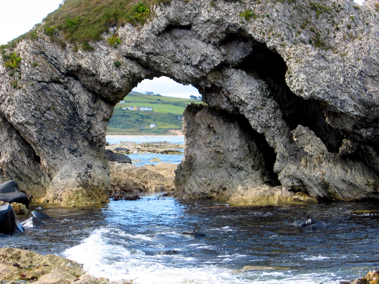
Geographically, Ulster runs from the basalt of the Antrim Plateau, where ancient lava flows cooled into the hexagonal columns of the Giant's Causeway, to the granite of the Mournes in County Down, where Slieve Donard rises 848 metres above the Irish Sea. Lough Neagh, in the east, is the largest lake in the British Isles at 383 square kilometres. Malin Head, in County Donegal, is the most northerly point in Ireland. The sea cliffs at Slieve League rise 601 metres straight from the Atlantic - among the highest in Europe. The longest river in the British Isles, the Shannon, rises at the Shannon Pot in County Cavan. The geographical centre of Ulster lies in mid-Tyrone, between Pomeroy and Carrickmore. It is a province of edges - of cliffs and coastlines, of basalt and bog, of contested boundaries that the rocks themselves predate by a few hundred million years.
Tongues and Triumphs
Three languages run through Ulster: English (the everyday tongue), Irish (Gaeilge Uladh, particularly strong in the Donegal Gaeltacht), and Ulster Scots, which evolved from the Lowland Scots speech of the planters. Donegal Irish remains closest to Scottish Gaelic, a reminder of the centuries of traffic across the North Channel between Antrim and Argyll. The province has produced an outsized share of Ireland's golfing greats: Fred Daly won The Open in 1947; Graeme McDowell won the US Open in 2010; Rory McIlroy and Darren Clarke followed soon after. When The Open returned to Royal Portrush in 2019 after a sixty-eight year absence, the welcome was thunderous. So is the welcome at any Ulster GAA final in Clones, where two halves of a divided province still come together to cheer for the same nine counties.
From the Air
Ulster spans the northern third of Ireland, centred roughly at 54.7°N, 7.0°W. The nine counties cover about 22,000 km². Major airports: Belfast International (EGAA), Belfast City (EGAC), City of Derry (EGAE), and Donegal/Carrickfinn (EIDL). Recommended viewing altitude 5,000-8,000 ft AGL on a clear day to take in the full province in a single arc, from the Giant's Causeway in the north, across Lough Neagh in the east, to the Sperrin and Bluestack ranges in the west and the Mournes in the south. The Donegal coast includes the dramatic Slieve League sea cliffs (601 m). Cloud cover is the rule; best clarity tends to follow Atlantic frontal passages.
Nearby Stories
- Limavady Grammar School 5.6 km away
- Altnahinch Dam 6 km away
- Baronscourt 7.9 km away
- Irish Open (golf) 11 km away
- Flight of the Earls 14 km away
- Maze Prison Escape 14 km away
- 1990 British Army Gazelle shootdown 16 km away
- Enniskillen Lifeboat Station 21 km away