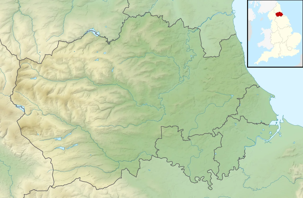

Upper Teesdale
When the last Ice Age ended, the tundra plants of northern England retreated north as the climate warmed. Almost all of them are now found only in the Arctic and the high Alps. Almost. In one specific patch of the upper River Tees catchment, on a strange friable rock called sugar limestone, a handful of those plants stayed - and they are still there. Upper Teesdale is one of the most important botanical sites in Britain, and the reason is essentially an accident of geology.
Where the Tees Begins
Upper Teesdale is a Site of Special Scientific Interest covering an extensive upland in west County Durham, England. It includes the headwaters of the River Tees and the surrounding catchment upstream of the small village of Langdon Beck. From the air it looks like much of the rest of the North Pennines: heather moor, blanket bog, the dark scars of peat hags, the gleam of water collecting in the saddles between summits. But on the ground, the site has a deceptive variety. The habitats are mostly dry heath, with wet heath and blanket mire in the poorly drained hollows, and the resulting mosaic is what supports the unusual mix of species that have made the place famous to botanists since the eighteenth century.
The Teesdale Assemblage
Botanists call them the "Teesdale rarities" - a group of plants that include spring gentian (Gentiana verna, an intense blue flower more familiar from Alpine pastures), Teesdale violet (Viola rupestris), bird's-eye primrose (Primula farinosa), Scottish asphodel (Tofieldia pusilla), alpine bartsia, hoary whitlow grass, and several others. Many of them are relicts: species left behind when the post-glacial warming should have sent them packing. They survived because the conditions at Upper Teesdale - the cold climate, the thin alkaline soil over sugar limestone, the lack of competition from more vigorous lowland plants - replicated something close enough to the tundra environment they had evolved for. They have been growing in the same fields, on the same slopes, for somewhere in the order of ten thousand years.
Sugar Limestone
The rock that makes Upper Teesdale botanically unique is informally known as sugar limestone, because when you handle it you can crumble it between your fingers like coarse, dirty sugar. It is metamorphosed limestone - heated and recrystallised by contact with the molten rock that formed the Whin Sill, a massive sheet of dolerite that intrudes across the North Pennines and surfaces as crags at places like High Force and Cauldron Snout. The metamorphism turned the limestone into a friable, sugar-textured rock that weathers into an unusual thin, alkaline soil. Upper Teesdale is one of only two known outcrops of sugar limestone in Britain. The rarity of the rock is precisely what makes the rarity of the flora possible: the unique substrate creates a habitat that almost nothing else, anywhere in lowland Britain, can match.
Birds and Borders
The SSSI also supports internationally important populations of breeding waders - golden plover, dunlin, lapwing, curlew, snipe, redshank - and a number of rare invertebrates whose ranges are similarly restricted. Geologically, the site includes several locations of national importance beyond the sugar limestone, and the dramatic waterfalls of High Force and Cauldron Snout on the Tees itself are major landscape features just downstream. Part of the SSSI overlaps with the Warcop Training Area, where the Army still uses the moor for live-fire exercises - which means visitors to certain areas have to check the firing schedule before they walk. The combination of military, conservation, and farming uses is uneasy but, in practice, has helped keep the moor undeveloped: there are no plantations, no wind farms, no roads to speak of beyond a few rough tracks. The Tees rises, and the rare plants flower, and the world continues to be what it has been since the ice withdrew.
From the Air
Coordinates 54.683 N, 2.267 W, in the high upper catchment of the River Tees on the watershed of the North Pennines. The site is treeless upland; the dolerite crags of Cauldron Snout and the waterfall at High Force a few miles downstream are the clearest landmarks. Best viewed at 3,500-5,000 feet AGL. Nearest ICAO airport: EGNT (Newcastle), about 35 nm to the north-east; EGNC (Carlisle Lake District) is about 30 nm to the west-north-west; Teesside International EGNV is about 30 nm to the east.
Nearby Stories
- Hadrian's Wall 1.7 km away
- Nine Standards Rigg 4.3 km away
- Crook, County Durham 4.8 km away
- Gosforth Park 9.4 km away
- Richmond Castle 10 km away
- Ambleside 12 km away
- Caldbeck 16 km away
- Battle of Arkinholm 19 km away