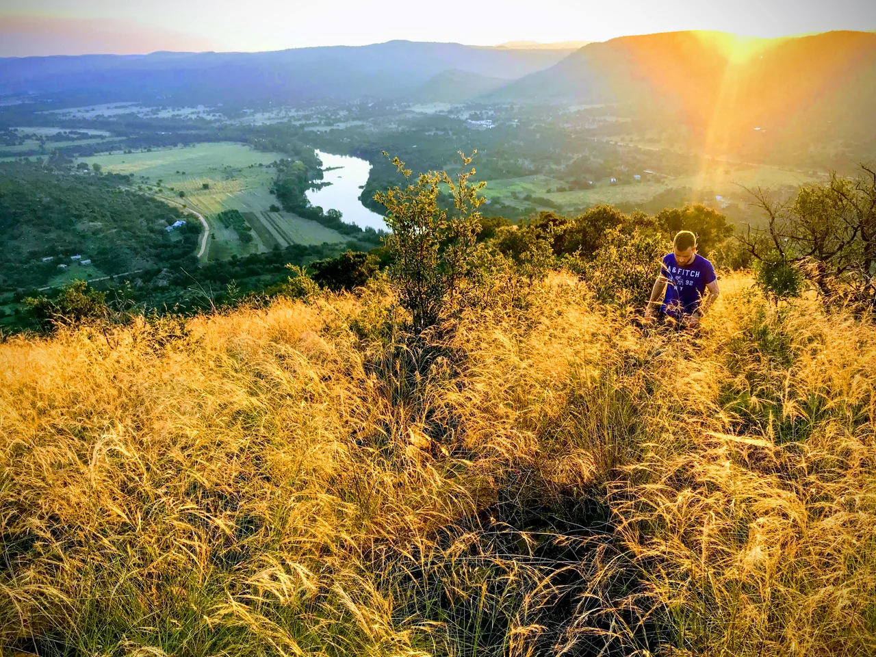

Vredefort Impact Structure
Two billion years ago, a rock perhaps ten to fifteen kilometres across fell out of the sky over what is now South Africa. It hit the ground at a speed that turned solid bedrock to vapour, punched a hole in the crust larger than any other we can still find on the planet, and rang the Earth like a bell. The crater it left was somewhere between 170 and 300 kilometres wide. There were no witnesses; the most complex life on Earth at the time was single-celled. But the scar is still here, worn down to a faint set of curved hills near the little town of Vredefort, and it is hiding one of the strangest accidents of fortune in human history.
The Oldest Wound
The Vredefort impact structure is the largest verified impact crater on Earth, and among the very oldest, formed roughly 2.02 billion years ago in the Paleoproterozoic. For most of recorded geology nobody knew what it was. The raised dome at its centre was assumed to be the relic of some ancient volcanic eruption. Then, in the mid-1990s, geologists found the giveaway in the bed of the nearby Vaal River: shatter cones, the distinctive fan-shaped fractures that form only when a shock wave of unimaginable force passes through rock. Volcanoes do not make shatter cones. Only a colossal impact does. The dome was not a volcano at all. It was the rebound peak of a crater older than multicellular life.
Reading the Rings
Stand at the centre and the landscape arranges itself in arcs. The impact crumpled the rock layers into partial concentric rings, like ripples frozen in stone. Hard, erosion-resistant quartzites and banded ironstones survive as a sweep of hills curving away to the northwest, while softer lavas and dolomites form the bands beyond. Multiple-ringed craters like this are common on the Moon and on Jupiter's icy moon Callisto, but vanishingly rare on Earth, where erosion and the slow churn of plate tectonics erase them. Vredefort survives because it is so deeply eroded that we are looking not at the surface the asteroid hit, but at the roots of the crater, kilometres below where the original impact occurred.
An Accidental Treasure
Here is the twist that makes Vredefort matter to more than geologists. Long before the impact, the region held the Witwatersrand Basin, the most gold-rich sediments ever laid down on Earth. In the ordinary course of things, several kilometres of that rock would have eroded away over the eons, carrying the gold with it. But the asteroid changed the math. The impact pressed the goldfield down into the protected core of the crater, shielding it from erosion and tilting it so that its edges rose close to the surface near present-day Johannesburg. When prospectors found gold there in 1886, they were harvesting a deposit that an asteroid had, two billion years earlier, accidentally saved. Without Vredefort, the gold that built modern South Africa might simply have washed away.
Life on the Dome
Today the heart of the structure is quiet farmland and tourist country. Four towns sit inside it: Parys, the largest, a riverside hub for visitors who come to raft the Vaal and walk the dome; agricultural Vredefort and Koppies; and tiny Venterskroon, tucked among the hills. In 2005 UNESCO inscribed the Vredefort Dome as a World Heritage Site for its scientific importance, the only place on the planet where the deep machinery of a giant impact lies exposed for study. The local community radio station even plays on the joke: it broadcasts as KSFM on a frequency chosen as a nod to the asteroid that, in a sense, made everything here. You cannot see the crater from the ground; it is far too large. But you are standing inside it.
From the Air
The centre of the Vredefort Dome sits at roughly 27.0 degrees south, 27.5 degrees east, in the northern Free State near the town of Parys on the Vaal River. From altitude the structure reveals itself as a faint bullseye of curving ridgelines and hills, best appreciated from 12,000 to 25,000 feet or higher, since the full ring spans well over 100 km and cannot be taken in from low level. The Vaal River loops conspicuously through the dome. The nearest sizeable airfields are Vereeniging (FAVV) to the northeast and Potchefstroom (FAPS) to the west; OR Tambo International at Johannesburg (FAOR) lies about 120 km to the north-northeast. The dry highveld winters from May to September offer the clearest, most stable air for viewing the concentric terrain.
Nearby Stories
- Kweneng' Ruins 25 km away
- Boipatong Massacre 26 km away
- Vaal Reefs Mining Disaster 31 km away
- Battle of Bothaville 47 km away
- Chris Hani Memorial 79 km away
- Golden Gate Highlands National Park 150 km away
- Siege of Mafeking 173 km away
- Ts'ehlanyane National Park 205 km away