Woodward Park
Ralph Woodward never saw his park. The Fresno businessman died in 1960, leaving a will that stipulated one-fifth of his estate must go toward purchasing land for a public park and bird refuge. His father, O.J. Woodward, had been an early Fresno civic leader and banker who donated the Memorial Fountain in downtown Courthouse Park back in 1921, so philanthropy ran in the family. But Ralph's gift was different in scale -- it would eventually produce 235 acres of green space along the San Joaquin River, the largest park in a city that desperately needed one. What makes Woodward Park remarkable is not just its size but the layers of community that have accumulated within it: a Japanese friendship garden, a disc golf course, a cross-country venue that draws California's best high school runners, and a music festival that proved Fresno could hold its own as a cultural destination.
A Dead Man's Wish
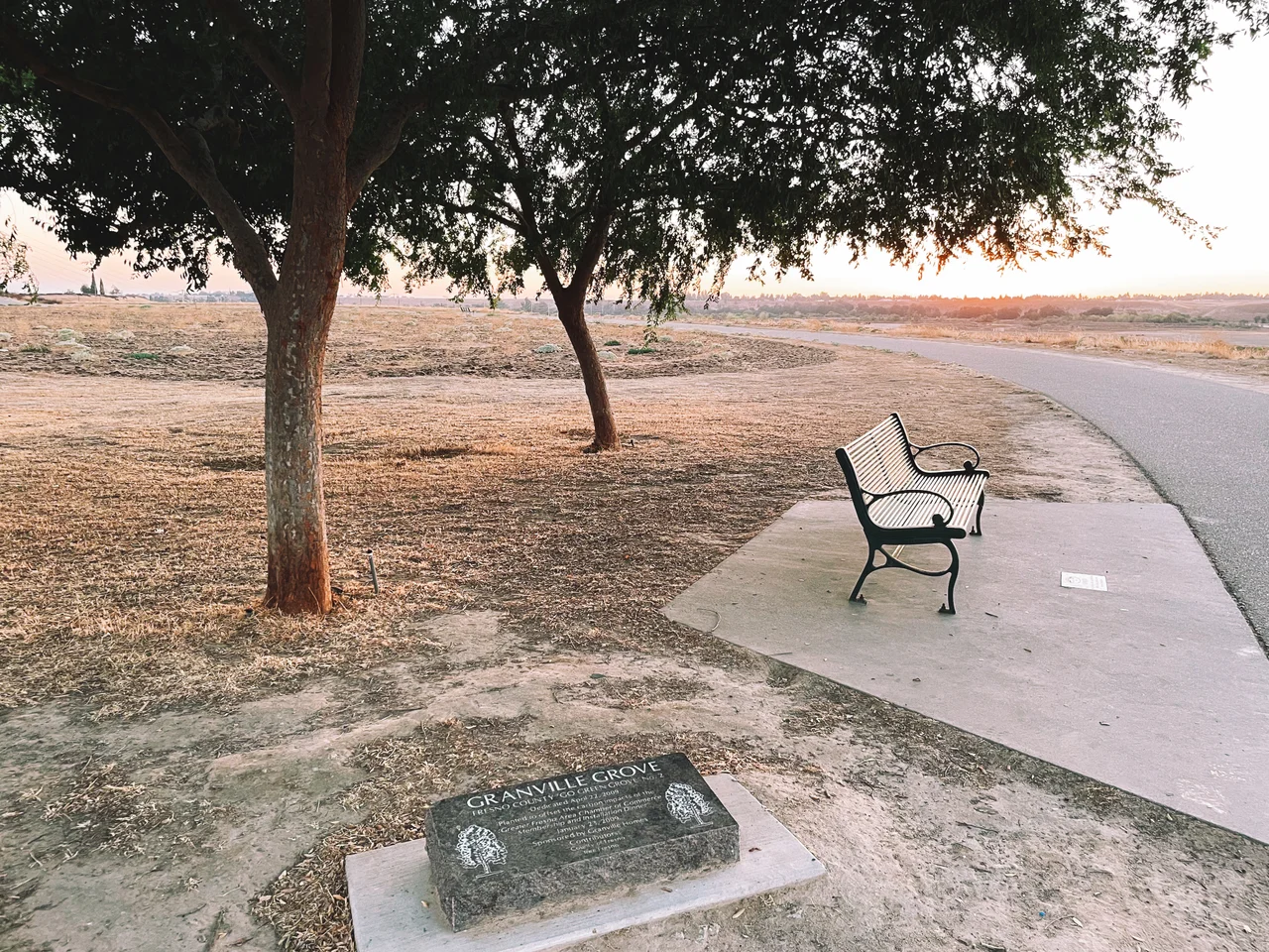
The story begins with a will and a problem. Ralph Woodward's estate trustees knew they needed land large enough for a regional park, accessible enough to serve Fresno's growing population, and wild enough to function as the bird refuge the will required. In September 1964, they settled on 185 acres next to State Highway 41 and Shepherd Avenue, along the San Joaquin River's bluffs, purchasing the land for $296,000. The City of Fresno added 50 adjacent acres for $80,000, and the entire 235-acre parcel was transferred to the city. Development took years. The park opened in 1968, its design shaped by the river corridor along its eastern edge -- a strip of riparian habitat that would, decades later, connect to the six-mile Lewis S. Eaton Trail running north along the river's curve. From above, Woodward reads as a wedge of green pushed against the sandy line of the San Joaquin, hemmed in by the suburban grid that grew up around it.
Thirty Thousand Cubic Yards of Friendship
While the park was still being planted, a group of Japanese Americans led by local accountant Ben Nakamura approached the city with a proposal: set aside two acres for a Japanese garden. Fresno had formed a sister city relationship with Kochi, Japan in 1965, and the partnership gave the project both cultural weight and practical resources -- Kochi donated authentic Japanese buildings for the garden. The Shinzen Friendship Garden, as it came to be known, required 30,000 cubic yards of earth and 600 tons of granite boulders to construct. Its layout follows the four seasons, with distinctive plantings in each area so that something is always blooming or turning color. The garden was officially dedicated on May 18, 1981, with a large delegation from Kochi attending the opening. It remains one of the most authentic Japanese gardens in the Central Valley, a quiet pocket of deliberate beauty inside a park built for recreation.
Where California Runs
Since 1987, the California Interscholastic Federation has held its state championship cross-country races at Woodward Park. Every November, the fastest high school runners in California converge on the park's rolling hills and open meadows for a course that has become iconic in the sport. Community college championships organized by the CCCAA are hosted there as well. At the university level, Woodward serves as the home course for the Fresno State Bulldogs' men's and women's cross-country teams, and the park has hosted fourteen NCAA Regional Championships since the tournament's inaugural year of 1968. The terrain is ideal -- not punishingly hilly, but varied enough to reward endurance and strategy. For a generation of California runners, the name Woodward Park carries the specific anxiety and exhilaration of state competition, the packed starting lines and the long kick toward the finish.
From Hip-Hop to the City Council
In 2012, Fresno rapper Fashawn organized a hip-hop festival called Grizzly Fest at the local fairgrounds. The event grew, moved to Chukchansi Park in downtown Fresno in 2015, and by 2018 had outgrown even that venue. Woodward Park offered something the downtown stadium could not: space for a two-day event with multiple stages, a Ferris wheel, carnival games, and food trucks. The 2018 lineup headlined Snoop Dogg, Nas, and Foster the People. In 2019, Portugal. The Man and G-Eazy took the top billing. But the move to Woodward was not uncontested -- residents east of the park raised concerns about noise and parking congestion, and the promoters had to appear before the Fresno City Council with a detailed mitigation plan and pay a $100,000 license fee for use of the park. The festival was canceled in 2020 due to the pandemic and did not return, but it demonstrated something about Woodward: the park had become consequential enough that using it required civic negotiation.
The Park That Built a Neighborhood
Woodward Park did not just fill a gap in Fresno's recreational landscape -- it redirected the city's growth. Mayor Ted C. Wills, who served from 1969 to 1977, made northern expansion a focus of his administration, and the park anchored that push. The community that grew up around it adopted its name. The Woodward Park area -- bounded roughly by Herndon Avenue, Blackstone Avenue, the San Joaquin River, and Willow Avenue -- now includes a public library, subdivisions, and shopping centers all bearing the Woodward name. The 1,100-home Woodward Lake subdivision sits nearby. A 167-acre parcel just north of the park, acquired by the San Joaquin River Conservancy as the Jensen River Ranch, now connects to Woodward in multiple places, extending the green corridor along the river. What Ralph Woodward's one-fifth bequest purchased was not just a park but a center of gravity, a place that pulled Fresno's northeast edge into existence.
From the Air
Woodward Park is located at 36.8708N, 119.785W along the San Joaquin River bluffs in northeast Fresno. From the air, it is clearly visible as a large green wedge against the suburban grid, bordered by the river corridor to the east and Highway 41 to the west. The Lewis S. Eaton Trail is visible as a paved ribbon following the river north. Fresno Yosemite International Airport (KFAT) lies approximately 8 nautical miles to the south-southeast. Fresno Chandler Executive Airport (KFCH) is about 10 nautical miles south-southwest. The flat valley floor provides excellent visibility, though tule fog is common in winter months.
Nearby Stories
- San Joaquin Experimental Range 2.1 km away
- Alkali Sink Ecological Reserve: Holding Ground for a Ghost 12 km away
- Merced Assembly Center: 133 Days Behind the Wire 32 km away
- Sequoia: Standing Among the Largest Living Things on Earth 56 km away
- Manzanar 92 km away
- The Bristlecone Pines: The Oldest Living Things on Earth 94 km away
- Hearst Castle 129 km away
- Great Bakersfield Fire of 1889 146 km away