
Abbeville, South Carolina
Abbeville is where the Confederacy began and where, in a sense, it ended. On November 22, 1860, a delegation gathered on a knoll the locals still call Secession Hill to decide that South Carolina should leave the Union - the first formal step toward civil war. Four and a half years later, on May 2, 1865, Jefferson Davis sat at the Burt-Stark Mansion a few blocks away and convened what historians regard as the last full meeting of his Confederate war council. The decision that day was to dissolve the government. Two pivotal Confederate moments, bookended in the same small Carolina town.
The Old 96 District
Abbeville sits in what South Carolinians call the Old 96 District, named for the colonial-era Ninety Six District that once stretched across the piedmont. The town is tucked into a rather isolated patch of the state - about seventeen miles west of Greenwood and roughly thirty miles southeast of Anderson - so you'll want a car. That isolation is part of the place's character. Highway 72 runs through, but the rail and interstate corridors that reshape so many Southern downtowns mostly missed Abbeville, leaving Court Square intact: a Beaux Arts courthouse from 1908, the connected Opera House, brick storefronts ringing the green, and the rhythm of a county seat that has been the county seat since 1785.
Court Square and Burt-Stark
Court Square anchors the visit. The 1908 Abbeville County Courthouse and the adjoining Abbeville Opera House, both designed by William Augustus Edwards, form a single architectural composition - a brick-and-stone civic ensemble that survived the fires and economic shifts that flattened similar squares elsewhere. The Opera House, opened in 1904, still programs theater and concerts year-round. A few blocks away stands the Burt-Stark Mansion, the antebellum home where Davis's war council met in May 1865; tours walk visitors through the parlor where the decision was made. Secession Hill itself, a more modest marker, sits at the edge of town.
Lake and Country
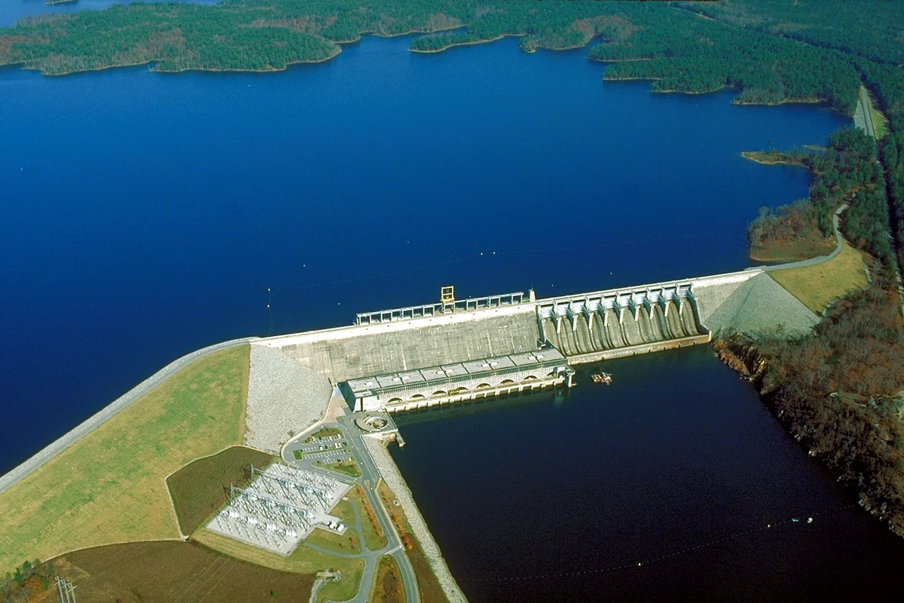
Beyond the town square, the country opens out. The Richard B. Russell Dam impounds Lake Russell on the Savannah River to the west - a long, fingered reservoir straddling the Georgia line, popular for fishing and quiet boating. Sumter National Forest fragments fill in much of the surrounding land. The country between Abbeville and Greenwood feels older than the interstates: two-lane blacktop, pine and hardwood, small farms, the occasional historical marker pointing back to Revolutionary War or Civil War events that happened within a few miles. Abbeville is not on the way to anywhere in particular, which is exactly why what makes it interesting has had room to survive.
From the Air
Abbeville sits at 34.179 N, 82.379 W in west-central South Carolina, in the rolling Piedmont about 35 miles south of Anderson. Cruise at 2,500 to 4,000 feet for a clear view of Court Square. Nearest field is KIRO (Abbeville Municipal, 4 nm south); KGRD (Greenwood County) is 18 nm east-southeast, KAND (Anderson Regional) 28 nm north, KGMU (Greenville Downtown) 50 nm north. Visual landmarks: the dome and mass of the courthouse-opera house ensemble, Lake Russell's long fingers to the west along the Savannah, and the wide green of Sumter National Forest patches.
Nearby Stories
- Battle of Musgrove Mill 17 km away
- Anderson County, South Carolina 20 km away
- Battle of Hammond's Store 26 km away
- Graniteville Train Crash: The Night Invisible Death Came to a Mill Town 42 km away
- Stumphouse Mountain Tunnel 42 km away
- Tree That Owns Itself 46 km away
- Edgefield County, South Carolina 47 km away
- Andalusia 93 km away