Alameda Mole
On May 30, 1890, a Southern Pacific passenger train failed to stop for an open drawbridge at Webster Street. The drawbridge had swung wide to let a ship pass through the estuary, and the train plunged into the water. Thirteen people died. It was Oakland's worst railroad disaster of the nineteenth century, and it happened on a structure most people today have never heard of: the Alameda Mole. The word "mole" sounds wrong for a transit hub, but it describes the thing precisely -- a massive pier of rock, timber, and fill driven out across the shallow mud flats of the East Bay, pushing railroad tracks into water deep enough for ferries to dock. For six decades, the Alameda Mole was a hinge point between rail and sea, the place where passengers stepped off trains and onto boats bound for San Francisco.
Narrow Gauge to Deep Water
The South Pacific Coast Railroad built the mole between 1876 and 1878 as the northern terminus of its narrow-gauge line to Santa Cruz. The logic was geographic: Alameda's western shore faced San Francisco across the bay, but the water between them was too shallow for ferries to approach the shoreline. The solution was to build out -- a long causeway extending tracks into navigable depth. Southern Pacific leased the mole in 1887 and expanded its reach. When the structure burned to the waterline on November 20, 1902, they rebuilt it larger and farther into the bay. By 1898, the mole carried both narrow and standard gauge tracks; after the 1906 earthquake, it converted entirely to standard gauge. This was infrastructure shaped by the stubborn physics of San Francisco Bay -- its tidal mud flats demanded that builders meet the water where it was deep enough to cooperate.
A Crossroads on Pilings
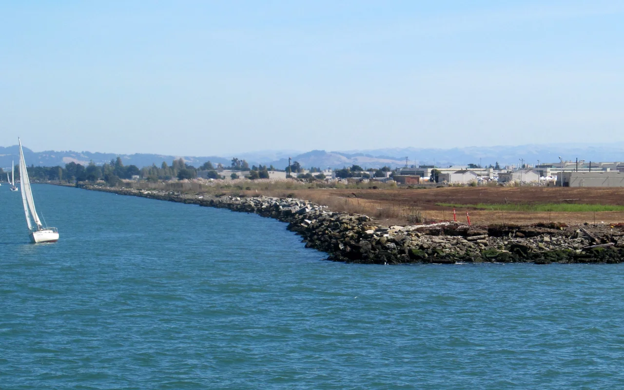
At its peak, the Alameda Mole served as an improbable intersection of transit modes. Local trolley cars on the Red Line terminated here. Ferries departed for San Francisco. Regular trains ran in a horseshoe pattern -- the aptly named Horseshoe Line -- connecting to the Oakland Mole farther north. Southern Pacific's electrified commuter trains, full-sized railroad cars rather than streetcars, crossed to the mainland on bridges at Webster Street and Fruitvale. The mole was one of four neighboring piers serving the same purpose: the Oakland Mole, the Western Pacific Mole, and the Key System Mole all pushed their own tracks across the mud flats into ferry-accessible water. Standing on any one of them, you could look across the shallows and see the others, a constellation of transit ambition driven into the bay on timber and stone.
Clippers and Carriers
In the 1930s, the fill leading to the Alameda Mole found a new tenant. Pan American Airways established a seaplane port along the causeway, and this unlikely stretch of East Bay reclamation became the original home base of the China Clipper. The great flying boats departed from here on their transpacific routes, carrying mail and passengers to Hawaii, Midway, and Manila. When World War II arrived, the military recognized what the railroads had known for decades: this was prime waterfront. The marshy lowlands southwest of the mole were filled on a massive scale, and Naval Air Station Alameda rose on the reclaimed ground. The facility grew to include a major airfield and docks capable of berthing aircraft carriers. For more than half a century, the naval station dominated the western end of Alameda, a military city built on the same mud flats the railroads had once struggled to cross. NAS Alameda closed in 1997, leaving behind hundreds of acres of former military land still being reimagined.
The Bridge That Ended the Ferries
Ferry service from the Alameda Mole ended in 1939. The cause was visible from the mole itself: the San Francisco-Oakland Bay Bridge, which opened in 1936, rendered the ferry system obsolete almost overnight. All transbay service was rerouted across the new bridge. For passengers in Alameda, the change was particularly inconvenient. The island city had no direct bridge access, so commuters now had to travel outbound across the Fruitvale Bridge into Oakland before looping back toward San Francisco on the Bay Bridge -- a longer, more circuitous journey than the direct ferry crossing had been. The mole itself passed into the expanding naval station. Today, almost nothing of the original structure remains visible. The pilings and platforms that once bustled with ferry passengers, trolley riders, and railroad commuters have been absorbed into the landscape of the former NAS Alameda, where redevelopment projects are slowly transforming the old military base into housing and commercial space. The mud flats are still there, though, just beneath the surface.
From the Air
Located at 37.796N, 122.329W on the western tip of Alameda Island. The site is now part of the former Naval Air Station Alameda (Alameda Point), clearly visible from the air as a large runway and development area on the island's west end. Best viewed below 3,000 feet. Metropolitan Oakland International Airport (KOAK) lies approximately 6 nm to the southeast. The Oakland Mole site is visible roughly 2 nm to the north along the eastern shoreline. The Bay Bridge dominates the view to the west-southwest. The four historic mole locations can be traced along the East Bay shoreline as linear features extending into the bay.
Nearby Stories
- Isleton: The Half-Square-Mile Town That Made Perry Mason Famous 3.4 km away
- Eden Landing Ecological Reserve 5.1 km away
- Where Salt and Fresh Water Negotiate 10 km away
- The Kilns That Never Burned 13 km away
- Altamont Free Concert 17 km away
- Where Tectonic Plates Go for a Swim 18 km away
- Kesterson National Wildlife Refuge 77 km away
- ʻAkaka Falls State Park 3701 km away