
An Giang province
In 1942 French archaeologists digging at the foot of a low hill in the Mekong Delta pulled a gold medallion out of the ground bearing the face of Antoninus Pius, Roman emperor, dead since 161 AD. It had not washed up by accident. The site was Óc Eo, a port of the kingdom of Funan, and it had been trading with a world that stretched from the Mediterranean to China while northern Europe was still tribal. Louis Malleret, who ran the excavation after aerial photography exposed the buried street plan, thought he had found Cattigara — the easternmost place-name on the Greek and Roman maps of Asia, the edge of the known world. An Giang province has been catching things from far away ever since.
The Buried Port
Óc Eo lies in what is now Thoại Sơn, beside Ba Thê mountain — a 200-meter hill above canals and paddy, home to monkeys, herons and a great deal of birdlife. Excavation began on 10 February 1942 and has been producing ever since: pottery, tools, silver coins struck with the hamsa goose, jewelry made in deliberate imitation of Roman coinage, religious statuary in stone and bronze. The dates the archaeology supports run from around the second century BC into the twelfth century AD, which is a very long career for a delta town. In 2023 a stone slab turned up carrying the earliest known evidence of spice processing anywhere in Southeast Asia, ground residue still readable on a surface two thousand years old. Nothing about the flat green landscape suggests any of this. That is the point of the place.
How a Province Gets Made
This was Khmer land, part of Chenla and Funan before it, and it entered Vietnam through court politics rather than conquest. In 1757 Cambodia's King Nặc Đôn died. The regent Nặc Nhuận bought Nguyễn approval for his own succession by ceding two prefectures — then was murdered by his son-in-law before he could enjoy it. Nặc Đôn's grandson Nặc Tôn fled to Hà Tiên and asked for help. Lord Nguyễn Phúc Khoát backed him, sent Mạc Thiên Tứ's troops to escort him home to the throne, and took payment in territory: the region called Tầm Phong Long, the wedge of delta between the Tiền and Hậu rivers. Emperor Minh Mạng turned it into a formal province called An Giang in 1832, one of the Six Provinces of the lower south. The Khmer families farming it did not move. Their descendants — the Khmer Krom — still live here, alongside Kinh, Hoa and a long-established Chăm Muslim community on the riverbanks near Châu Đốc.
Eighty Thousand Shovels
Owning the land was one problem; reaching it was another. Beginning in late 1819, on Emperor Gia Long's order and under the mandarin Nguyễn Văn Thoại — Thoại Ngọc Hầu — crews began cutting a canal from Châu Đốc west to the sea gate at Hà Tiên. It took until 1824 and ran 87 kilometers, dug by roughly 80,000 conscripted Vietnamese and Khmer labourers working by hand in a malarial floodplain. Disease and fighting killed an unrecorded number of them. The completed canal opened the interior to boats, watered the paddy that made An Giang a rice province, and drew a line so straight and so permanent that the Vietnam-Cambodia border runs alongside it for most of its length. Minh Mạng named it Vĩnh Tế, after Châu Vĩnh Tế, Thoại's wife, in recognition of her work supporting the families of the men who dug it — a gesture that says a good deal about how many families needed supporting.
The Lady of the Realm
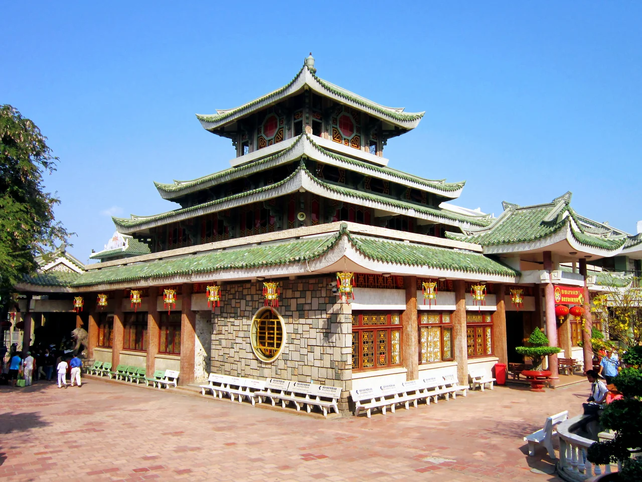
Above Vĩnh Tế village, on the slope of Sam Mountain outside Châu Đốc, sits the shrine of Bà Chúa Xứ, the Lady of the Realm — the most visited religious site in southern Vietnam. Millions come each year, and a strikingly large share of them are businesswomen asking for luck in trade. The statue at the center of it is an argument in stone. Malleret, the same archaeologist who dug Óc Eo, identified her as a pre-Angkorian Shiva, appropriated and re-gendered; the villagers say she grew out of the rock and was found there. Her festival runs from the twenty-third to the twenty-seventh day of the fourth lunar month, timed to the break of the rains, and its central act is a bath: elders wash the statue in rainwater mixed with perfume and dress her in new robes. In 2024 UNESCO added the festival to its Representative List of the Intangible Cultural Heritage of Humanity.
Nine Thousand Square Kilometers
An Giang means peaceful river, from the Sino-Vietnamese 安江, and it is now a great deal larger than the name implies. On 12 June 2025 the National Assembly passed Resolution 202/2025/QH15 and dissolved Kiên Giang into it, producing a province of 9,888.91 square kilometers with close to five million residents — one that runs from the Cambodian border across the delta and out into the Gulf of Thailand, taking in Phú Quốc and a hundred smaller islands. Almost all of it is flat rice country threaded with canals. The exception is the west, where the seven granite hills of Thất Sơn break the horizon near the border. Rạch Giá and Phú Quốc airports handle the traffic. The rest moves, as it has since Óc Eo, by water.
From the Air
An Giang is centered near 10.5°N, 105.17°E and, since the June 2025 merger, extends from the Cambodian border southwest across the Mekong Delta to the Gulf of Thailand and out to Phú Quốc. Airports: Rạch Giá (VVRG/VKG), Phú Quốc International (VVPQ), with Cần Thơ International (VVCT) just east of the provincial line and Phnom Penh (VDPP) about 110 km north of Châu Đốc. Terrain is near sea level almost everywhere, with one exception — the Thất Sơn hills in the west, topping out around 710 m (2,330 ft), plus the isolated 200 m rise of Ba Thê at Óc Eo and Sam Mountain at Châu Đốc. From 4,000-6,000 ft the province reads as two rivers (the Tiền and the Hậu) running parallel southeast, everything between them ruled into rectangles by canals, and the arrow-straight Vĩnh Tế Canal marking the international border. Best visibility June through October between convective cells; February through April brings heavy agricultural haze.
Nearby Stories
- Battle of Tri Phap 16 km away
- Kiên Giang province 26 km away
- Hà Tiên 32 km away
- Búng Bình Thiên 33 km away
- Sóc Trăng 59 km away
- Bokor National Park 82 km away
- Phú Quốc Prison 84 km away
- Ben Duoc Memorial Temple 84 km away