
Antsiranana
Sailors have a short list of the world's great natural harbours, and this bay is near the top of it. By the common reckoning, only Rio de Janeiro outranks the Bay of Antsiranana as a natural harbour, a deep, many-armed inlet at the very northern tip of Madagascar where the sea reaches far inland behind sheltering headlands. The city that grew on its shore is still widely called by its old French name, Diego Suarez, and a single volcanic rock rising from the water, the Pain de Sucre, has become its emblem.
A Harbour Carved by the Sea
Geography handed this place its destiny. The bay spreads across roughly 250 square kilometres, broken into a cluster of smaller bays whose calm waters lie protected from the open Indian Ocean by a wall of land. Ships enter through a guarded mouth and find anchorage in water deep enough for any vessel, a rarity that mariners prized for centuries. Out in the southern reach, the Bay of the French, stands the Pain de Sucre, a sugarloaf of volcanic rock that locals hold sacred and where traditional ceremonies are still performed. From the heights above the city, the whole improbable shape of the harbour reveals itself, arm upon arm of blue water reaching into green hills.
The Prize Everyone Wanted
A harbour this good was never going to stay quiet. Its strategic value made it a target, and in May 1942 it became the stage for one of the Second World War's notable operations. British forces launched Operation Ironclad, an amphibious assault on the port, seizing it from Vichy French control to deny the anchorage to enemy navies and protect the Allied supply lines threading through the Indian Ocean. It was the first large Allied amphibious landing of the war. The fighting was brief but real, and when it ended the British held one of the most strategically placed naval bases in the southern hemisphere. The bay had done what good harbours always do: it drew the world's powers to its shores.
Life on the Northern Tip
Today Antsiranana is the fifth-largest city in Madagascar and the working capital of the far north. The streets carry a mix of the island's peoples and a layer of French colonial architecture, with a Roman Catholic cathedral, an Anglican one, and a mosque all standing within the city. Getting around means flagging a bajaj, the small three-wheeled auto-rickshaws that buzz through town for a fixed fare, or squeezing into a taxi-brousse, the shared vans that fill with passengers before setting off. There are no trains or trams here, just the constant motion of a port city at the end of a very long road from the capital.
The End of the Road
Reaching Antsiranana overland is a commitment. The city lies some 1,108 kilometres from the capital, Antananarivo, and the journey by taxi-brousse can take the better part of two days, with travellers often breaking the trip in the town of Antsohihy along the way. Many arrive instead by air, or off the water entirely. Cruise ships call here from time to time, drawn by the spectacle of the bay, and their passengers step ashore into one of Madagascar's most striking settings. It is a place that has always lived by its harbour, a city whose whole reason for being is the great sheltered water at its feet.
From the Air
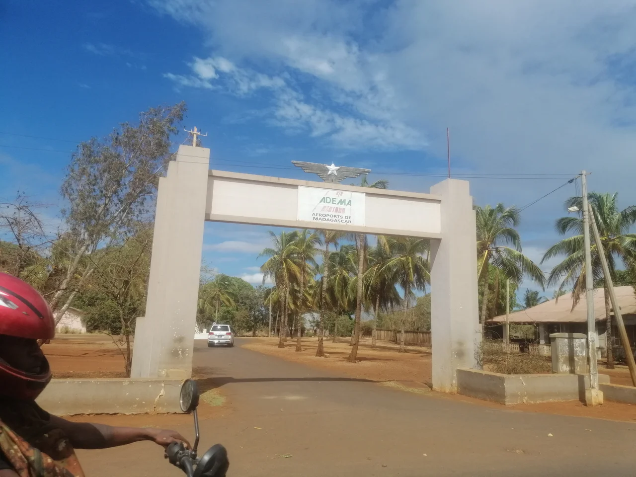
Antsiranana (Diego Suarez) sits at the far northern tip of Madagascar at approximately 12.32°S, 49.30°E, on the shore of one of the world's largest natural harbours. From the air the bay is unmistakable: a vast, deeply indented blue inlet broken into multiple arms, sheltered from the open Indian Ocean by surrounding headlands, with the Pain de Sucre islet marking the southern reach. Recommended viewing altitude is FL100 to FL200 in clear weather, when the full branching shape of the harbour stands out against the green hills. The nearest airport is Antsiranana / Arrachart (ICAO FMNA), just south of the city. The forested dome of Montagne d'Ambre rises to 1,475 metres to the south as a prominent landmark; expect good visibility in the dry season from May to October, with afternoon cloud building over the high ground inland.
Nearby Stories
- Ankarana Special Reserve: Madagascar's Limestone Labyrinth 70 km away
- Vohemar 81 km away
- Nosy Be 98 km away
- Nosy Komba 132 km away
- Glorioso Islands 179 km away
- Sambava 210 km away
- Latimeria 667 km away
- Erythraean Sea 2741 km away