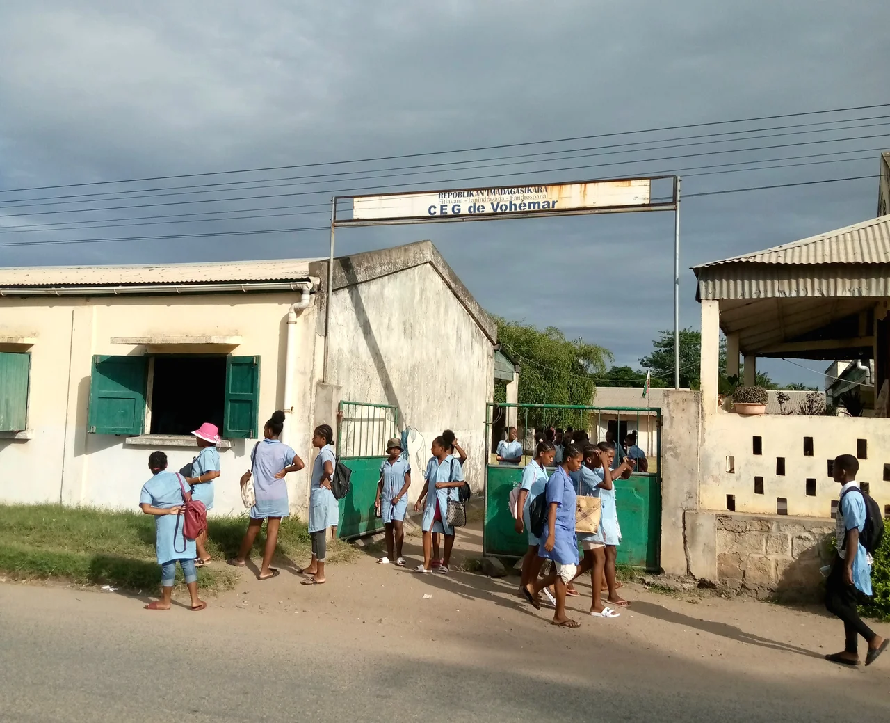

Vohemar
In the 1940s, diggers along this stretch of coast opened more than six hundred old graves and found a buried world inside them. Chinese porcelain. Gold and silver ornaments. Bowls of carved green stone. Glass beads and bronze mirrors that had crossed an ocean. The town that lives here now, Vohemar, known in Malagasy as Iharana, is an unhurried place of cassava fields, fishing boats, and a small harbour. But beneath it lies the memory of the Rasikajy, a people who once tied this shore into the great trade web of the Indian Ocean.
The Necropolis Beneath the Town
Few archaeological sites in Madagascar have given up so much. The Vohemar tombs, excavated through the colonial era, held grave goods that read like a manifest of medieval ocean commerce. Most of the Chinese ceramics date from the 15th and early 16th centuries, with some pieces reaching back into the 14th or earlier, evidence that goods from the South China Sea were reaching this coast long before any European ship appeared. Alongside the imports lay objects made on the spot: jewellery, iron tools, and weapons worked from Madagascar's own ore. The dead were sent into the ground with the best the world could offer, and what they carried tells us how far that world reached.
The People Called Rasikajy
History remembers them mostly through what they left in the earth. The Rasikajy occupied the northeast coast and grew prosperous as middlemen in a trade that stretched from the African mainland to East Asia. Their most distinctive craft was the carving of chlorite schist, a soft greenish stone quarried in northern and eastern Madagascar, shaped into bowls and three-legged vessels. Some of those tripod forms echo ancient Chinese ritual bronzes so closely that scholars have argued over the connection for decades. Whoever the Rasikajy were, they were not isolated islanders. They were craftsmen and traders plugged into one of the oldest commercial networks on Earth.
Stone That Sailed
The reach of this place is measured in where its stone ended up. Chlorite-schist objects of the kind carved near Vohemar have turned up not only across Madagascar but on the Comoro Islands and the East African coast. That scatter of green stone is the clearest proof that the Rasikajy were active participants in western Indian Ocean trade, sending their work outward while drawing porcelain, glass, and precious metal back in. The harbour that still serves Vohemar today is a faint echo of a much older role, when this coast was a node where the products of three continents changed hands.
The Town That Remains
Modern Vohemar wears its history lightly. Home to roughly 22,000 people, it is a working coastal town in the Sava region, where cassava is the staple crop and peanuts, maize, and rice fill the fields beyond. Fishing boats work the same waters that once carried trading dhows, and a small airport and seaport keep the town connected to Ambilobe and Sambava down the coast. In 2022 an 800-kilowatt solar park was switched on here, a thoroughly twenty-first-century addition to a place whose deepest story is medieval. The graves are quiet now, but they made Vohemar one of the most revealing windows we have into Madagascar's place in the wider world.
From the Air
Vohemar (Iharana) sits on Madagascar's northeast coast at approximately 13.38°S, 50.01°E, on the Indian Ocean shore of the Sava region. From the air it reads as a modest coastal town with a small harbour, set against the green of cassava and rice cultivation and the open sea to the east. Recommended viewing altitude is FL150 to FL250 in clear weather. The town has its own airfield, Vohemar Airport (ICAO FMNV). Regional alternates include Sambava Airport (FMNS) to the south and Antsiranana / Arrachart (FMNA) to the northwest. The coastline here runs roughly north-south and makes a clean navigational reference; visibility is best in the dry season from May through September, while the cyclone season from November to April can bring heavy weather to this exposed eastern coast.
Nearby Stories
- Sambava 62 km away
- Ankarana Special Reserve: Madagascar's Limestone Labyrinth 72 km away
- Montagne d'Ambre National Park 105 km away
- Montagne des Francais: Where Baobabs Guard a Colonial Ruin 124 km away
- Makira Natural Park 189 km away
- Tromelin Island: The Forgotten Enslaved People of the Isle of Sand 484 km away
- Battle of Reunion 969 km away
- Erythraean Sea 2842 km away