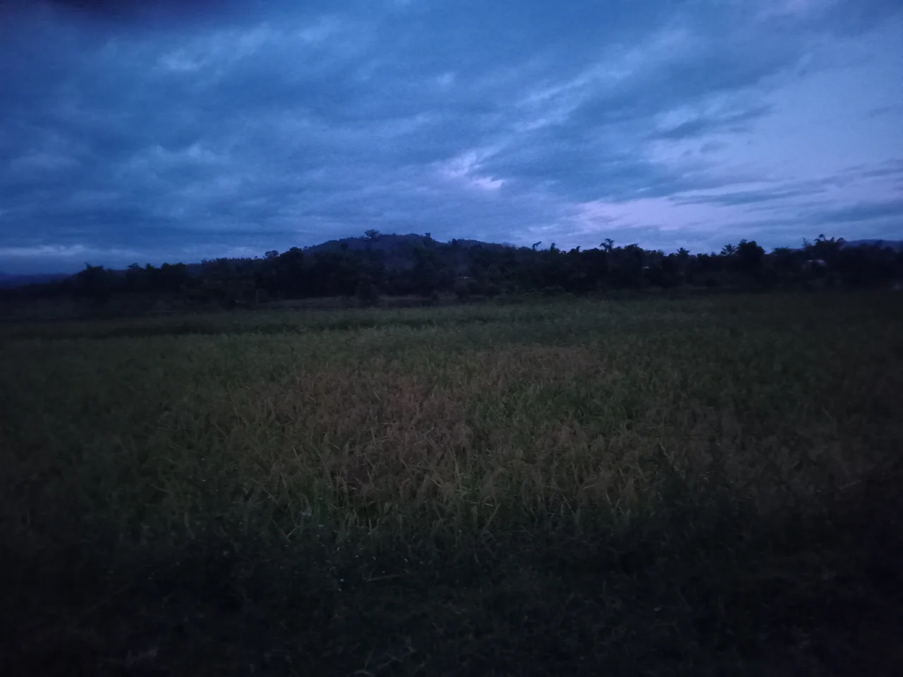

Makira Natural Park
Spread a map of northeastern Madagascar and you will find a vast green smudge where the roads run out. This is Makira: more than 372,000 hectares of strictly protected rainforest, wrapped in another 350,000 hectares of community-managed woodland, together forming the largest contiguous block of humid forest left on an island that has lost most of its trees. Nothing about it announces itself. There is no famous peak, no gateway town. There is only the forest, going on and on, and the astonishing density of life inside it.
The Last Great Forest
Madagascar broke away from Africa roughly 160 million years ago and has been evolving in isolation ever since, which is why so much of what lives here lives nowhere else. Makira holds an estimated half of the island's entire floral diversity within its boundaries. The forest is humid and dense, draped in moss and orchids, fed by mist that pools in the valleys at dawn. It also does quieter work: its watersheds prevent the flooding of the plains below and slow the sediment that would otherwise choke Antongil Bay, the great bite of ocean to the east. The forest does not exist in isolation, either. It forms a living bridge between Masoala and Marojejy national parks, keeping the region's protected lands connected so wildlife can move between them rather than being marooned on shrinking islands of green.
Seventeen Kinds of Lemur
No place in Madagascar packs in more lemur species than Makira, which shelters seventeen of them. Three are critically endangered. The silky sifaka drifts through the high canopy, snow-white and almost luminous against the dark leaves. The indri, largest of all living lemurs, sends its eerie, whale-like song echoing across the valleys at first light, a sound that carries for more than a kilometer. The black-and-white ruffed lemur crashes through the branches with less ceremony. They share the forest with fifty-seven mammal species in all, among them the fossa, Madagascar's top predator, lithe and catlike, and thirteen kinds of tenrec, the spiny insect-eaters that fill the ecological role hedgehogs hold elsewhere. For birdwatchers, Makira ranks among the island's richest sites: 125 species recorded, three-quarters of them found only in Madagascar, including the highest density anywhere of the rare Bernier's vanga.
Living With the Forest
People belong to this landscape too. The Betsimisaraka and Tsimihety peoples farm its edges, growing rice and cassava to eat and vanilla and cloves to sell. They hunt, gather wild honey, and draw medicines from hundreds of forest plants, an inherited pharmacopeia refined over generations. Most still honor Zanahary, the creator of traditional Malagasy belief, weaving that older spirituality through whatever else they practice. Their relationship with Makira is not separate from conservation; it is the heart of it. The buffer of community-managed forest exists precisely because protecting these woods means protecting the livelihoods that depend on them. Since 2012, when the reserve became a formal national park, it has been managed by the Wildlife Conservation Society on behalf of the Malagasy government, an arrangement that ties the forest's survival to the people who have always lived alongside it.
A Forest Worth More Standing
Makira is also an experiment in a new kind of economics, one that asks whether a forest can be worth more alive than felled. In 2013, after a decade of preparation, the Makira REDD+ project became the first government-owned carbon project in Africa to sell credits on the voluntary market. The logic is simple to state and hard to execute: companies pay to keep the trees standing, the carbon stays locked in the wood rather than rising into the atmosphere, and the money funds patrols, alternative livelihoods, and sustainable farming for the roughly 90,000 people living in some 120 villages across the project area. By the accounts of its managers, the effort has cut the local deforestation rate roughly in half. It is not without controversy, as critics question how fairly the proceeds reach the communities that bear the cost of conservation. But the underlying stakes are not in dispute. Madagascar has already lost most of its original forest. Makira is part of what is left, and keeping it intact has become a test case for whether the rest of the world is willing to pay for that.
From the Air
Makira Natural Park sits at roughly 15.41 degrees south, 49.54 degrees east, in northeastern Madagascar inland from Antongil Bay. From altitude it reads as an unbroken expanse of dark, folded forest with no roads or settlements at its core, bordered by the bay to the east. The nearest airfield is Maroantsetra (ICAO FMNR) on the bay's northern shore; Sambava Airport (ICAO FMNS) lies to the north, and Toamasina's Ambalamanasy (ICAO FMMT) far to the south. Cloud and mist gather over the massif most mornings, so clear views are best in the dry season, roughly May through October. A viewing altitude of 6,000 to 9,000 feet keeps the forest's texture and ridgelines in frame.
Nearby Stories
- Masoala National Park: Madagascar's Largest Wild Shore 28 km away
- James Plaintain 49 km away
- Marojejy National Park 83 km away
- Sambava 98 km away
- Anjajavy Forest: Where Stone Forests Meet Living Ones 177 km away
- Lake Alaotra 210 km away
- Nosy Komba 220 km away
- Vohemar 223 km away