
Đập Đá
In 1992, workers digging in the Bả Canh area of Đập Đá turned up something unexpected: two stone lion statues, each dating to the late 11th or early 12th century, their forms blending the Trà Kiệu and local Champa artistic traditions into something found nowhere else. The Vietnamese government recognized them as national treasures. They had been resting in the ground for roughly eight centuries, a short distance from the ruins of Thành Đồ Bàn — the citadel of Vijaya, the last great capital of the Champa kingdom, destroyed in 1471. This is Đập Đá: a modest ward on Vietnam's south central coast where the past has an unsettling habit of surfacing.
Where the Côn River Meets the Plain
Đập Đá occupies the northern part of An Nhơn town in Bình Định Province, a flat, fertile lowland threaded by the Đập Đá River — a branch of the Côn River delta — and bisected by National Route 1, Vietnam's primary north-south artery. The location is not dramatic. Rice fields stretch in every direction; the coast is 23 kilometers to the southeast at Quy Nhơn. But the geography explains a great deal of history. Fertile river plain, access to the sea, highlands to the west supplying trade goods — this was exactly the kind of place a civilization would choose for its capital. The Cham people understood this. So did the Vietnamese who came after them.
Shadows of the Champa Kingdom
Roughly three kilometers from the center of Đập Đá stand the ruins of Thành Đồ Bàn, the citadel of Vijaya — the capital of the Kingdom of Champa from the 12th century until its catastrophic defeat by Đại Việt in 1471. The Cánh Tiên Tower, built in the 12th century, still rises from the ruins, its brick and stone construction reflecting Angkor influence absent in most other Cham structures. It was near this tower, in the Bả Canh area, that the two lion statues were discovered. Both statues blend Trà Kiệu sculptural style with local Cham techniques — a fusion that speaks to the cultural complexity of a civilization the Vietnamese chronicles called an enemy, but which left extraordinary art in the ground.
The Forge Village of Tây Phương Danh
Among Đập Đá's seven administrative areas, Tây Phương Danh carries a particular identity: it is home to a traditional forging village where metalworkers have practiced their craft across generations. Bronze-casting and ironwork in this region trace back to the era when Bình Định's artisans supplied tools, ceremonial objects, and agricultural equipment to the surrounding communities. A display house for the village's products was built in 2023 to showcase the craft to visitors, though it has faced operational challenges — a modern building with nothing yet on the shelves, a reminder that sustaining living traditions takes more than infrastructure. The hammers still ring in the workshops; the question is who will be there to hear them in another generation.
War and Memory
On the 22nd day of the 12th lunar month of 1968 — falling in late December — the 6th Battalion engaged enemy forces in Đập Đá during the campaign to liberate Quy Nhơn. One hundred and fifty-three soldiers died. A memorial site in the ward commemorates them by name. For decades after the war, a veteran returned regularly to tend the graves, an act of devotion recorded by VnExpress in 2012. These 153 men and women are woven into the fabric of a place that has been fought over many times — by Cham and Vietnamese, by Vietnamese and French, by South and North — each conflict leaving its mark on the same flat plain by the same river.
A Ward in Transition
In 2025, as part of Bình Định Province's administrative restructuring, Đập Đá was merged with Nhơn Mỹ commune and Nhơn Thành ward to form the new An Nhơn ward. The headquarters of the old Đập Đá ward office became the headquarters of the new entity — the name changed, the place remained. An Nhơn town itself is pushing for city status, backed by more than 3,300 billion VND in planned infrastructure investment. Modern highways, new buildings, economic development: the future pressing in on a place that has always been, first and last, a crossroads.
From the Air
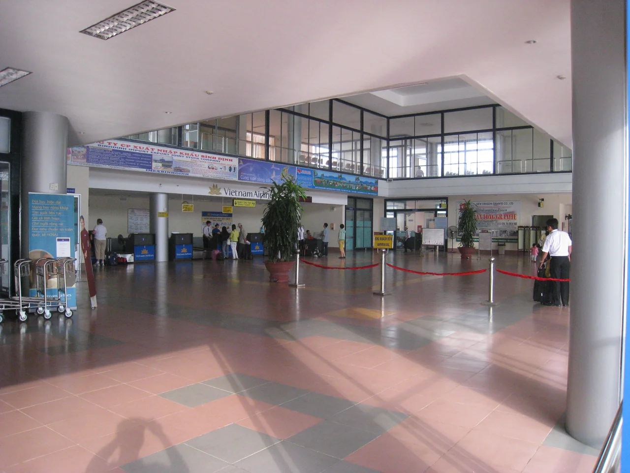
Đập Đá sits at 13.9167°N, 109.0830°E, approximately 25 km northwest of Qui Nhơn on the coastal plain of Bình Định Province. Phù Cát Airport (IATA: UIH, ICAO: VVPC) lies roughly 10 km to the north — you can see its runways clearly from low altitude. At 3,000–5,000 feet heading south along National Route 1, the Côn River delta fans out below, the ruined Cham towers visible as small brick structures in the flat agricultural landscape around An Nhơn.
Nearby Stories
- Paris Davis 26 km away
- Sông Cầu 29 km away
- Kon Ka Kinh National Park 31 km away
- Battle of Mang Yang Pass 41 km away
- Chư Yang Sin National Park 95 km away
- Battle of the Paracel Islands 327 km away
- Kashmir Princess 406 km away
- South China Sea 421 km away