
Arapahoe, North Carolina
In 1886, Bob Hardison and Bob Bowden sat down to fill out a Post Office Department application for their crossroads community in Pamlico County, North Carolina. They wrote in "Bethany Crossroads" - the name folks had used since colonial settlers first arrived in 1703. Washington wrote back and addressed the reply to "Bob's Town" because, it turned out, there was already a Bethany Crossroads near Fayetteville. Neither Bob liked Bob's Town. After what one local history calls a "lengthy discussion," Bob Hardison made a suggestion: "Well if you have no objection, we will name it after my old white horse, Arapahoe." Bowden had no objection. So a North Carolina town two thousand miles from any Arapaho hunting ground took its name from a tribe whose territory stretched across Wyoming and Colorado - by way of a horse.
An Old Indian Trail
Long before the post office, before the Bobs, before any of it, the path through this country was already old. Colonial settlers in 1703 followed an existing Indigenous trail running from the big bend in the Neuse River west toward Core Point. They settled along it and called the spot Bethany Crossroads. Today that trail is paved as North Carolina Highway 306, the same single road that carries everything in and out of Arapahoe - the school buses, the camp vans, the seafood trucks rolling toward Oriental. The town hall is a small building along it. So is most of everything else.
Four Camps and a Ferry
What Arapahoe lacks in size - population 416 at the 2020 census - it makes up for in summer arrivals. Four camps cluster within the town's reach: Camp Sea Gull for boys and Camp Seafarer for girls, both YMCA-affiliated, plus Camp Don Lee, founded by the Methodists as a recreation and environmental education center, and Camp Caroline. From June through August the population swings wildly upward. The camps run sailing fleets out onto the Neuse, which here is wide enough to look like an inland sea - the river is six miles across at this point, on its way to becoming Pamlico Sound. Twenty minutes south by car, the Minnesott Beach ferry shuttles every twenty minutes across to Cherry Branch, carrying drivers toward Havelock and Cherry Point Marine Corps Air Station and the beaches of Atlantic Beach.
A Town Without a Hotel
The economics of Arapahoe are a quiet study in what a small Southern coastal town keeps and lets go. The largest industry is still agriculture. Seafood handling, home improvement, food service, a florist - the working pieces of a community of 188 households. There is no hotel. No gas station of the convenience-store sort that defines so many crossroads. The Sun Journal in New Bern once estimated that the missing hotel rooms cost the local economy millions of dollars during camp drop-off and family weekends, when parents and visitors drive thirty minutes north to find a bed in New Bern and spend their dinner money there instead. The Arapahoe Charter School, founded in 1997 to replace the closed elementary school, now teaches kindergarten through twelfth grade in a $9 million facility - the kind of building you don't expect to find in a town this size.
The Slow Reach of the Neuse
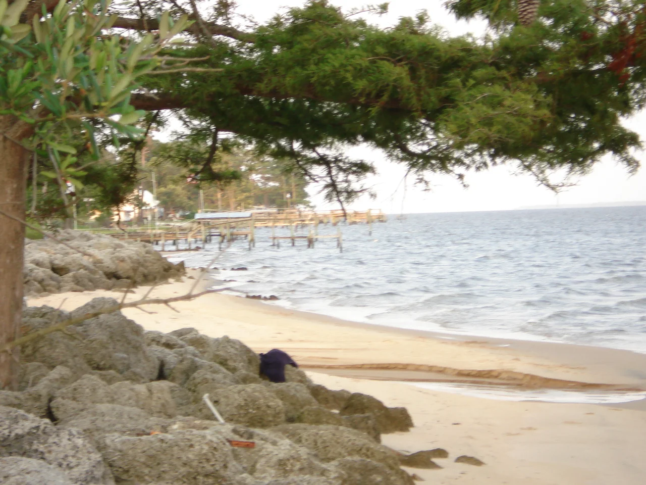
Recent decades have brought waterfront subdivisions creeping along Dawson's Creek and Baird Creek and the Neuse itself - Shine Landing, Dawsons Landing, Arlington Place, Baird Creek Point, the Dawson Creek Subdivision with its more than two hundred lots and a future community dock. The river is the reason. From Arapahoe, the Neuse stretches east toward Oriental and the Pamlico Sound beyond, and the water draws people the way it has for three centuries - the Coree before any English settler arrived, the colonial farmers running barges to New Bern, the modern weekenders launching kayaks from Pamlico Paddle's water trail. The Don Lee Center runs environmental education programs along these same shores, teaching children to read the marsh and the tide. The horse Arapahoe is long gone. The town that bears his name has settled into something quieter than its name might suggest - a country crossroads on a river big enough to forget.
From the Air
Located at 35.0258°N, 76.8286°W on the south bank of the Neuse River in Pamlico County, NC. The nearest airport is Coastal Carolina Regional (KEWN) at New Bern, roughly 12 nm northwest, which serves as the practical base of operations for the area. MCAS Cherry Point (KNKT) lies 10 nm south across the river. The town itself has no airfield. Best viewed at 3,500-5,500 feet AGL on transits over Pamlico County, with the wide Neuse River running east and the Minnesott Beach ferry visible crossing to Cherry Branch.
Nearby Stories
- Newport, North Carolina 4.4 km away
- Jones County, North Carolina 6.9 km away
- 3rd Battalion, 3rd Marines 7.8 km away
- Bath, North Carolina 15 km away
- Skylight Inn BBQ 16 km away
- Portsmouth, North Carolina 21 km away
- Lake Mattamuskeet 21 km away
- Mercury-Redstone 4 810 km away