
Artà
Climb the 180 stone steps that rise from the heart of Artà — past cypress trees and weathered stone crosses — and you arrive at a church wrapped inside a fortress. Nine towers and a wall a meter thick ring the hilltop sanctuary of Sant Salvador, a defensive crown from the days when this corner of Mallorca had to guard itself. The town spills down the slope below in steep, narrow lanes. Beyond it lie almond orchards and olive groves, and past those a coastline that — almost alone on this heavily built-up island — the tourist boom never reached.
A Garden's Name
Artà keeps its Arabic inheritance in its very name. The town first appears in the written record in 1232, listed as Yartân in the Llibre de repartiment, the register of lands James I distributed after his conquest of the island; the word traces back to Gertan, Arabic for garden. People had worked this ground far longer than that. At Ses Païsses and Sa Canova stand the stone remains of the Talaiotic culture, settlements that flourished roughly between 1300 and 100 BC, and their coins, seals and vessels now fill the town's regional museum on the Plaça d'Espanya. Even the fortress on the hill is older than it looks: its core predates the island's Islamic period, and through the Moorish centuries it was known as the Almudaina — simply, the stronghold.
The Hill of Sant Salvador
That old stronghold still crowns the town, though a church now stands where soldiers once did. A wall a meter thick, studded with nine towers and anchored by the great tower of Sant Miquel, wraps the pilgrimage sanctuary of Sant Salvador. Inside waits a carved and painted Romanesque figure of the Virgin, which tradition holds was carried to Mallorca by James I himself during the conquest. To reach it, pilgrims climb a Calvary staircase of 180 steps that ties the parish church at the foot of the hill to the baroque sanctuary of 1832 at its summit, 182 meters up. Layers of faith stack one atop another here: the town's late-Gothic parish church, finished in 1573, rose on the site of an earlier one consecrated in 1248 — which had itself replaced a mosque.
A Wild Coast and Barren Hills
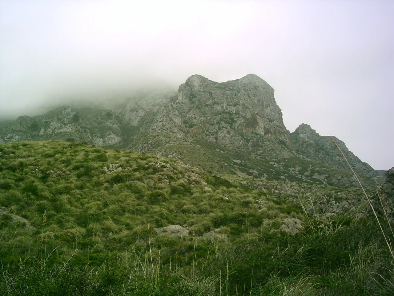
Artà occupies the wild northeastern shoulder of Mallorca, some 60 kilometers from the bustle of Palma. More than half the municipality is taken up by the Massís d'Artà, the highest and most compact block of the Serres de Llevant, crowned by Puig Morei at 561 meters. Its 25 kilometers of coast are the district's quiet marvel — dunes at sa Canova, the high rocky coves below Cap de Ferrutx, a string of small bays running out to Cala Torta, almost none of it given over to development. Ospreys and peregrine falcons nest in the sea cliffs; feral goats pick across the slopes. The hills themselves are harsher than they once were, scarred and thinned by repeated forest fires, and much of the northern reach now lies protected inside the Parc Natural de la Península de Llevant.
The Craft of the Fan Palm
For centuries the people of Artà have made a living from a knee-high palm. The fan palm, Chamaerops humilis, grows wild across the country between Manacor and Artà, and its tough, pliable leaves are the raw material for llatra — a basketry tradition counted among the oldest crafts on the island. The rhythm follows the calendar. Leaves are cut in June and July and dried in the sun until they pale to a yellowish white, then split into strands, sorted, and softened before they can be worked. Skilled hands weave them into baskets, hats, bags and packs, sometimes layering dyed strands into intricate patterns; even the scraps are broken down into fiber for brooms and rope. On Tuesdays the finished work still turns up at the town's weekly market on the Plaça del Conqueridor.
Plague, Rails, and Quiet
Artà's fortunes have risen and fallen with the centuries. Between the 1500s and the 1700s the town grew and took up textile-making alongside its farming, until an outbreak of bubonic plague in 1820 killed some 1,200 people and set it back hard. The 1800s reshaped the map as well: Capdepera and Son Servera broke away to become municipalities of their own, and in 1880 the coastal settlement of Colònia de Sant Pere was founded on newly divided farmland. A railway reached Artà from Palma by way of Manacor in 1921, though the trains have long since stopped running — a line locals still hope to see revived. Tourism has since become the island's great industry, yet Artà, thinly settled and slow to build, has kept much of the unspoiled character its neighbors traded away.
From the Air
Set at 39.70°N, 3.35°E on the northeastern peninsula of Mallorca, roughly 60 km by road from Palma. From 3,000–6,000 feet the fortress-church of Sant Salvador makes a clear waypoint atop its 182-meter hill, with the Massís d'Artà rising behind it and the Bay of Alcúdia sweeping away to the west. The undeveloped 25-km coastline and the dunes of sa Canova stand out against the built-up resorts elsewhere on the island. Palma's airport (LEPA) lies to the southwest; Menorca (LEMH) sits across open water to the northeast — the Artà coast faces that island directly and, in clear weather, it can be seen from the sea cliffs. In the dry, bright light typical of the region, the whole eastern chain of the Serres de Llevant is easily traced from altitude.
Nearby Stories
- Taifa of Majorca 5.7 km away
- Cala Galdana 9 km away
- Cap de Formentor 13 km away
- Capture of Minorca (1708) 31 km away
- Illa de Tagomago 107 km away
- Cala de Sant Vicent 154 km away
- Llobregat Delta 166 km away
- Shipwreck of Dellys 274 km away