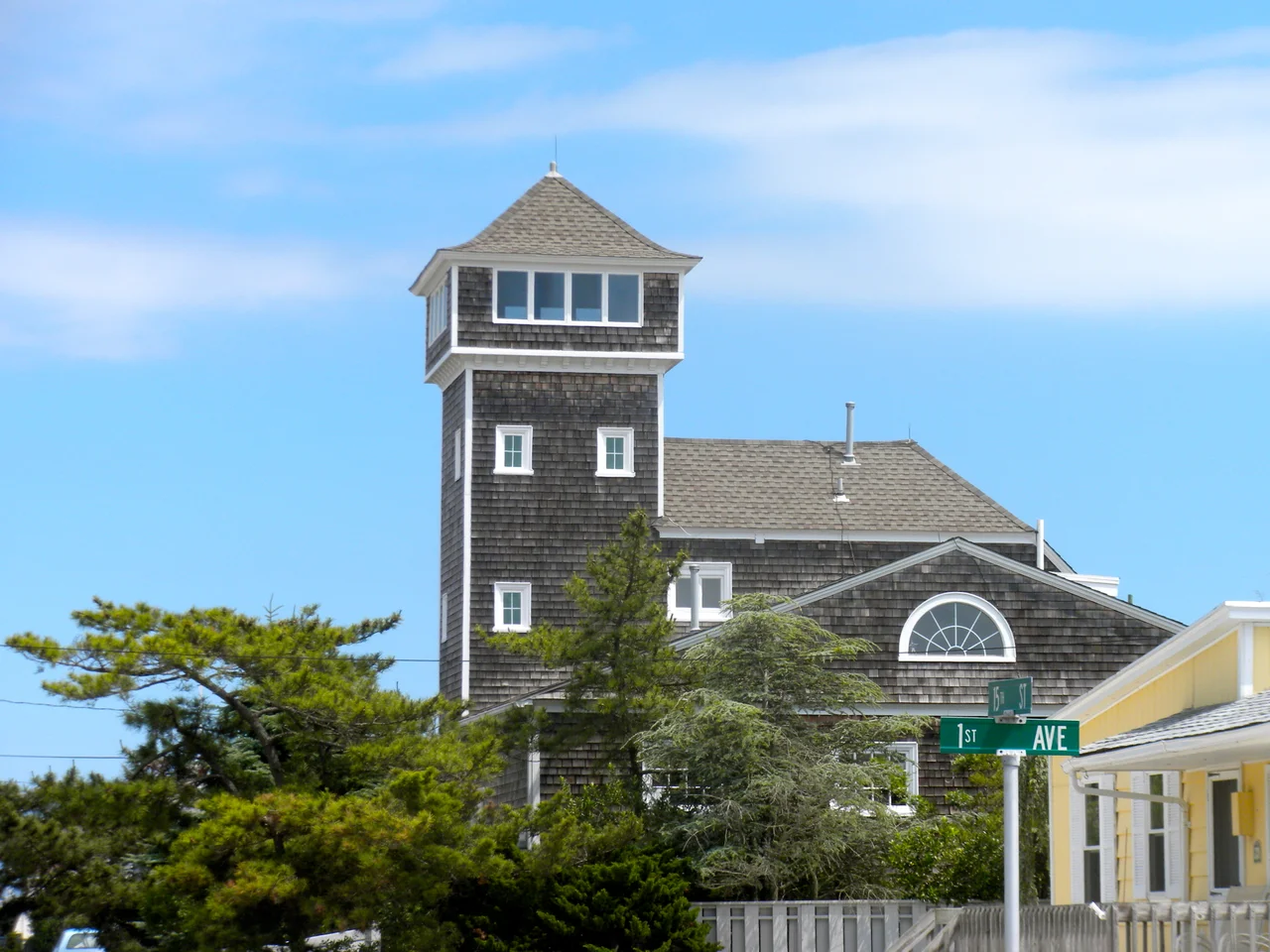

Avalon, New Jersey
Avalon is named for the place where King Arthur was supposed to die. The borough's founders, choosing a name on a barrier-island sandbar in 1892, reached past their actual geography and grabbed something out of myth. The choice fit the marketing. Avalon was being sold from the start as somewhere apart - an island within an island, a quiet retreat for Philadelphians who wanted a slightly better address than the next strip of beach over. The motto stuck: "Cooler by a Mile," because the borough juts roughly a mile farther into the Atlantic than its neighbors, which gives it a slightly stronger sea breeze. The other interpretation is that Avalon is a mile longer than Stone Harbor, which shares Seven Mile Island. Both readings are true.
Seven Mile Beach
The barrier islands of Cape May County formed roughly 14,000 years ago as the last glaciers retreated and sea levels began their long postglacial rise. Sand spits stretched, dunes built up, and the chain of long, narrow islands took shape - Seven Mile Island being one of them. The Lenape used the island for hunting and harvesting, calling it home to a substantial juniper forest. In December 1722, Aaron Leaming bought Seven Mile Beach - the whole island, what is now Avalon and Stone Harbor - for 79 pounds. The Leaming family held it for about a century. They grazed cattle there. They cut timber. The legends of pirate gold and a Henry Hudson anchorage offshore probably belong to the same folklore that grew up around every wild stretch of New Jersey coastline, but the Leamings made their real money the prosaic way.
Flattening the Island
When the Seven Mile Beach Company formed in April 1887, the island still looked roughly the way nature had made it - juniper forest, low dunes, sandy hills, salt marsh on the back side. Within a decade most of that was gone. The developers graded the land flat. They cut the juniper. They sold beachfront lots. By 1893 Avalon was advertised in Philadelphia newspapers as a resort town. The construction crews worked under the assumption that flatter was better - easier to lay out streets, easier to build cottages, easier to walk. They achieved their goal. Today it is extraordinarily rare to see a hill or a native juniper anywhere in Avalon. The island is one of the most thoroughly engineered stretches of barrier shoreline on the East Coast.
The Commonwealth and the Coconut Oil
On January 4, 1890, a 197-ton sailing ship called the Commonwealth, piloted by Captain W.S. Willets and bound from New York to Philadelphia, strayed off course in rough weather and ran aground in Townsend's Inlet just north of Avalon. Her cargo was a vivid catalog of the late nineteenth-century coastal trade: molasses, coffee, tobacco, tea, coconut oil, and camphor. The crew was rescued and most of the cargo salvaged, but the ship sat in the sandy bottom for a week as the waves slowly took her apart. Some of the remaining cargo washed up on Avalon's beach. The early residents took what they could carry. The wreck itself was sold to a man named John Townshend on February 2 for what little could be recovered. Coastal storms have written that same story up and down the Jersey coast for centuries.
The Ash Wednesday Storm
In March 1962 a major nor'easter sat off the New Jersey coast for five consecutive high tides and refused to move. The Ash Wednesday Storm hammered Avalon. Much of the borough sat underwater for four to five days. Streets disappeared. Beach houses were destroyed. The island's north end above 7th Street still bears the scars - that stretch of borough was simply taken by the storm, and the modern street grid begins where the old houses ended. Avalon has since spent millions on jetties, an artificial reef, and beach replenishment - sand pumped from offshore and pumped onto the shore in vast volumes. The borough has held its ground, but at high cost. The 8th-through-12th Street stretch remains the most vulnerable, and the causeway north to Townsends Inlet has flooded closed during ordinary storms in recent years.
The Chicest Beach
By the 2000s Avalon was no longer just a resort but one of the wealthiest ZIP codes in the United States. Forbes ranked it 65th-most-expensive in 2007. Washingtonian magazine called it the chicest beach in the mid-Atlantic. The borough's year-round population sits at 1,243. The summer population swells to roughly 45,000. The math tells the story: the houses are second homes, the streets fill in July and empty in October. Notable summer residents have included Penn State football coach Joe Paterno, longtime Johnny Carson sidekick Ed McMahon, and UConn women's basketball coach Geno Auriemma. The school district had only 43 students in the 2016-17 year - the smallest enrollment of any district in New Jersey. The town has become exactly what its founders advertised in 1893: an exclusive place, an island within an island, a name out of Arthurian myth.
From the Air
Avalon occupies the northern half of Seven Mile Island on the New Jersey shore at 39.09 degrees north, 74.74 degrees west. From cruising altitude, the borough appears as the northern segment of a long, narrow barrier island, with Stone Harbor occupying the southern half and Townsend's Inlet separating Avalon from Sea Isle City to the north. Cape May County Airport (KWWD) lies about thirteen nautical miles south. Atlantic City International (KACY) is about twenty-five nautical miles northeast. The borough's grid runs roughly seventy streets long, with the densest beachfront construction visible between 21st and 80th Streets. The Avalon Boulevard causeway connects the island to the Garden State Parkway.
Nearby Stories
- Atlantic Shores Offshore Wind South 7.9 km away
- Air Mobility Command Museum 19 km away
- Sussex County, Delaware 21 km away
- USS Jacob Jones (DD-130) 30 km away
- USS General G. W. Goethals 32 km away
- Fort Delaware: The Island Prison Where 33,000 Confederates Waited Out the War 38 km away
- The Pine Barrens: Home of America's Oldest Monster 45 km away
- The Burning of the Morro Castle: Murder, Fire, and a Ship That Beached Itself at a Resort 95 km away