
Bafoulabé
The name says exactly what happens here. In Bambara, Bafoulabé means "meeting of two rivers," and at this town in western Mali two rivers do meet and become a third. From the south comes the Bafing, the "black river," tumbling down from the highlands of Guinea. From the east comes the Bakoy, the "white river." Where they join, they lose their separate names and become the Sénégal, one of West Africa's great waterways, bound for the Atlantic more than a thousand kilometers away. Bafoulabé is the knot where it all begins.
Black Water and White Water
Two rivers, two colors, one new river. The Bafing earns its Manding name, the black river, while the Bakoy is the white river, and at Bafoulabé their waters fold together to form the Sénégal. Both are born far to the south in the wet highlands of Guinea and run down into the drier country of the Kayes Region, where the climate turns Sahelian. The rains here fall from June to October and the heat is relentless the rest of the year, the temperature climbing toward 41 degrees Celsius in the shade. The Sénégal that leaves this confluence is the lifeline of a vast, thirsty basin, and it all starts at the point where the two-colored rivers meet.
The First Cercle
When French colonial forces under Joseph Gallieni took Bafoulabé in 1880, they recognized the value of a place that controlled a river junction. In 1887 it became the seat of the first cercle, the first administrative district, established in what was then the French Sudan. One of the earliest colonial schools opened here, and through its doors passed Fily Dabo Sissoko and Mamadou Konaté, names that would matter later. Sissoko, a writer and a native of Bafoulabé, became one of the founding fathers of independent Mali. A small river town had become, for a moment, a cradle of the nation's modern political life. Today the commune sprawls across both banks of the Sénégal and gathers in 28 villages around the town that anchors them.
A People of the Confluence
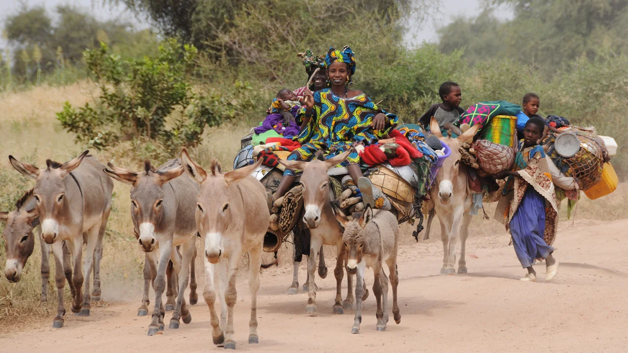
The town's people are Khassonké, Malinké, Soninké, and Fula, communities woven through this stretch of the upper Sénégal for generations. Their traditions surface in events like the Festival dansa-diawoura, a celebration of traditional dance that drew the region to Bafoulabé in April 2005. Ninety kilometers to the southeast, on the Bafing, stands the Manantali Dam, the largest in Mali, and behind it the broad sheet of Lake Manantali. The dam tames the black river before it ever reaches the confluence, a reminder that even at the headwaters the Sénégal is now a managed, harnessed thing, its power counted in megawatts as much as in flood seasons.
The Hippo and the Girl
Every river town keeps a story, and Bafoulabé keeps one of the gentlest. The legend of Mali Sadio tells of a hippopotamus that formed a friendship with a young woman named Sadio, the two of them bound across the impossible distance between species. The tale is set right here, at the meeting of the waters, and it has outlived empires and colonial cercles alike, passing from voice to voice. It is the kind of story a place earns by living beside a river long enough: not a record of kings or conquests, but of a quieter, stranger tenderness that the water seems to invite. Stand at the confluence and it is easy to believe.
From the Air
Bafoulabé sits at 13.806°N, 10.832°W in the Kayes Region of western Mali, at the confluence of the Bafing (from the south) and Bakoy (from the east) rivers, where they form the Sénégal. The Y-shaped river junction is the defining visual landmark. Lake Manantali and its dam lie about 90 km to the southeast on the Bafing. Nearest major airport is Kayes (GAKY) to the northwest. Climate is Sahelian; best visibility in the dry season (November-May), with the rivers fullest after the June-October rains.
Nearby Stories
- Manantali Dam 49 km away
- Koniakary Tata 61 km away
- Boucle du Baoulé National Park 142 km away
- Nioro du Sahel 169 km away
- Niagassola 179 km away
- Fugumba 311 km away
- Battle of Porédaka 352 km away
- Brakna region 439 km away