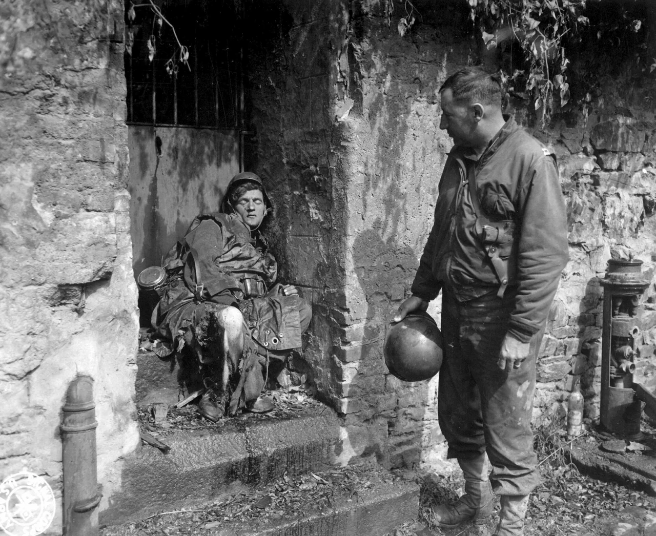

Battle of Cherbourg
The Allies needed a port. Not a beach, not a Mulberry harbour pieced together from concrete caissons in the surf, but a real port - the kind with cranes and warehouses and water deep enough for a Liberty ship to come straight in from Brooklyn. The largest such port within reach of the Normandy beaches was Cherbourg, at the tip of the Cotentin Peninsula. From the first sketches of Operation Overlord, the Allied planners had circled it on the map. The Germans understood this too, and they spent four years digging concrete into the hills above the city to make sure that when the Americans came for it, they would pay for every metre.
Why Cherbourg
Without a deep-water port, the entire invasion would suffocate slowly. Tanks and trucks loaded for transatlantic shipping had to be unloaded in England, unpacked, waterproofed and reloaded onto landing craft for shallow-water beach delivery - a process that limited the daily tonnage to a trickle compared to what a proper harbour could discharge. The Allied staff had at first decided not to land directly on the Cotentin, since the peninsula was separated from the main landing beaches by the Douve river valley, which the Germans had deliberately flooded to deter parachute drops. But in January 1944 the British general Bernard Montgomery, newly appointed land commander for the invasion, reinstated the Cotentin landings - to widen the bridgehead and to make a fast push for Cherbourg possible. The decision sent the 82nd and 101st Airborne Divisions, the 4th Infantry Division on Utah Beach, and ultimately the whole VII Corps under General J. Lawton 'Lightning Joe' Collins toward the city.
Across the Peninsula
After Utah Beach was secured and Carentan taken in vicious house-to-house fighting on 12 June, the Americans pivoted west. Collins drove his men hard - replacing units that flagged, sacking officers when progress was slow. The German defenders facing him were a stew of battered regiments, many already mauled by airborne troops in the first nights of the invasion. The Germans' own flooded valley now worked against them, sealing the southern flank of the American advance. By 16 June there were no natural obstacles left, and by 18 June the US 9th Infantry Division had reached the west coast of the peninsula. The Cherbourg garrison was cut off from any possible reinforcement. As the Americans drove north, they uncovered things the Germans had not meant them to see: large caches of V-1 flying bombs, and a V-2 rocket installation at Brix that hinted at what was coming for London.
The Wrong Order
Inside the German command, confusion was setting in. Erwin Rommel, the field marshal who knew this coast better than anyone, wanted his men pulled back into the Atlantic Wall fortifications around Cherbourg, where he believed they could endure a long siege. Hitler refused. Late on 17 June, the Führer relented just enough to allow a withdrawal - but specified a new defensive line south of Cherbourg that made no military sense. Rommel protested. He relieved the LXXXIV Corps commander General Wilhelm Fahrmbacher, suspecting him of dragging his feet against the absurd order. None of it mattered. The exhausted defenders around Montebourg collapsed and the Americans drove on. The man left to defend the city, Lieutenant General Karl-Wilhelm von Schlieben, had 21,000 men on paper but many were hastily drafted naval personnel and labour troops, tired and disorganised. The Luftwaffe tried to airdrop supplies. It was not enough.
The Demolition
Von Schlieben rejected the surrender ultimatum and set his engineers to work destroying the very thing the Americans had come for: the harbour. Quays were dynamited. Cranes were toppled into the basins. Ships were scuttled in the channel mouths. Mines were sown across the seabed in patterns designed to make minesweeping impossibly slow. Hitler later awarded the Knight's Cross to Rear Admiral Walter Hennecke, the harbour's chief demolition officer, for what he called 'a feat unprecedented in the annals of coastal defence'. It was the kind of award that recognised pure destruction. Collins launched his general assault on 22 June. Resistance was stiff, but the Americans worked methodically through the bunkers and concrete pillboxes. On 25 June the United States Navy and the Royal Navy steamed in for a daylong bombardment. On 26 June the British No. 30 Commando - the Royal Marines unit that hunted German naval intelligence - stormed Octeville and captured the Kriegsmarine HQ at Villa Meurice, taking 20 officers and 500 men. The same day, the US 79th Division took Fort du Roule, the great concrete bastion overlooking the city. Von Schlieben was captured. Organised resistance ended.
After the Last Man
The harbour fortifications and the arsenal surrendered on 29 June - persuaded by Captain Blazzard and Colonel Olin Teague, who bluffed about their manpower and ordnance until the German officers gave in. A few cut-off German pockets held out until 1 July. The Americans had lost more than 2,800 dead and 13,500 wounded taking the city. The German garrison commander Friedrich Dollmann, commanding the German Seventh Army, died on 28 June - officially of a heart attack, possibly by suicide by poisoning, having just been told a court martial was waiting for him over the loss of Cherbourg. The harbour was so thoroughly wrecked that the first ships could not use it until late July, and full operation was not restored until middle August. The Allies had their port. But the men who walked through those broken cranes - on both sides of the fight - had paid a price the planners in England had not put on any map.
From the Air
The battle was fought across the entire Cotentin Peninsula north of the Douve river. Cherbourg-en-Cotentin sits at 49.64°N, 1.63°W. Key landmarks from cruise altitude: the great artificial harbour with its three breakwaters on the north coast; the high ground of Fort du Roule overlooking the city; the airfield at Maupertus 11 km east. Utah Beach is on the east coast of the peninsula (49.42°N, 1.18°W). Sainte-Mère-Église, the famous airborne landing village, is inland. Nearest airports: Cherbourg–Maupertus (LFRC), Carentan (LFAD), Caen–Carpiquet (LFRK). Best viewed at 3,000-6,000 feet AGL to take in the whole campaign area.
Nearby Stories
- Abbey of Saint-Sauveur-le-Vicomte 4.3 km away
- Alderney Society Museum 9.3 km away
- Channel Islands 18 km away
- Operation Donnerkeil 31 km away
- German Submarine U-672 31 km away
- D-Day: The Longest Day 59 km away
- Fishbourne Roman Palace 103 km away
- Basilica of Sainte-Therese, Lisieux 110 km away