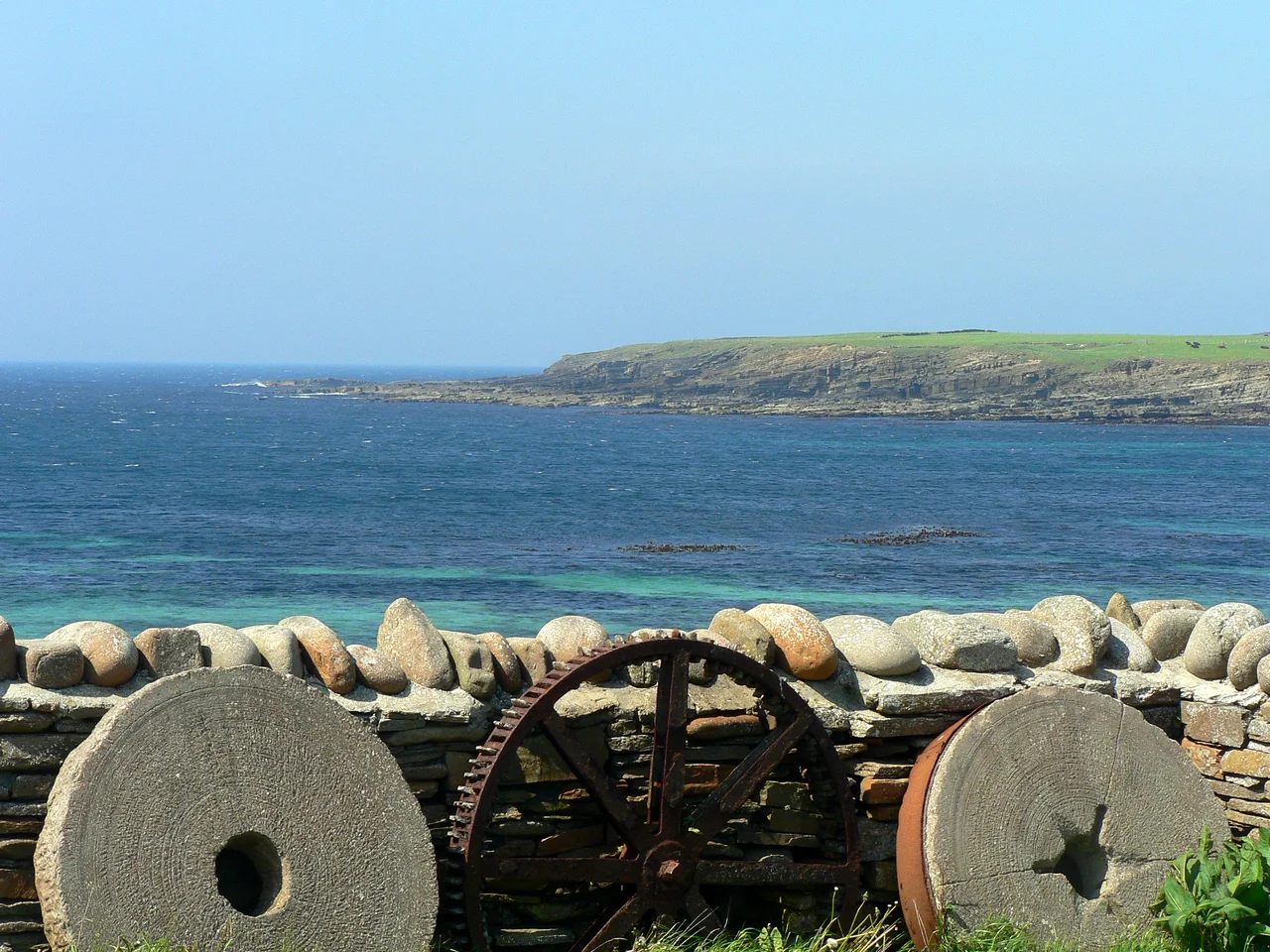

Bay of Skaill
A winter storm in 1850 did what no archaeologist could have planned. It ripped sand from the dunes at the back of the Bay of Skaill and exposed stone walls that turned out to be five thousand years old. Skara Brae had been buried since before the pyramids, hidden behind the same crescent of beach that Norse settlers later called Bugr Skala, the bay of the hall. The hall those Vikings named is long gone. The Stone Age village they never knew was sitting beneath them now welcomes visitors from every continent on Earth.
A Shore That Keeps Its Secrets
The bay arcs along the west coast of the Orkney Mainland, facing straight into the North Atlantic. There is nothing between this beach and Canada except open ocean, and the storms know it. Marram grass binds the dunes when the wind allows it, and gives way when the wind does not. For most of recorded history nothing dramatic happened here. Crofters worked the thin soil, fishermen launched small boats into uncertain weather, and the laird's family built a house above the shore. Beneath their feet, sealed in sand, lay one of the most astonishing archaeological sites in Europe. Nobody suspected it was there until the storm of 1850 tore the dunes open and changed everything.
The Laird's House
Skaill House sits above the bay on the same estate where Skara Brae emerged from the sand. The laird's family had occupied the land for four centuries before the discovery, and the present house grew through generations of additions and improvements. One of those lairds had an unexpected brush with history: William Graham Watt of Skaill held the Wedgwood dinner service that Captain James Cook had used on HMS Resolution, brought back to Stromness after Cook's third voyage. The crockery had crossed the Pacific with one of the most famous explorers of the age and ended up on a sideboard a few hundred metres from a village abandoned three thousand years before Cook was born. Few houses anywhere can claim a stranger arrangement of memorabilia.
The Boy and the Silver
Skara Brae was not the only treasure the bay would yield. In March 1858, a boy named David Linklater was digging at Muckle Brae near Sandwick parish church when his spade struck silver. Word spread fast in a small parish, and soon a crowd had gathered to dig alongside him. By the time they were finished, more than a hundred Viking objects had come up out of the earth: brooches, neck rings, ingots, fragments of hack-silver weighed out for trade. The Skaill hoard is the largest Viking treasure ever found in Scotland. It is now held by National Museums Scotland, but it began as a boy's lucky afternoon in an Orkney field.
Why the Sand Matters
The Bay of Skaill is not a passive backdrop to its discoveries. It is the reason they exist at all. The same sand that hid Skara Brae for five thousand years also preserved it, sealing the stone furniture and hearths and drains in an oxygen-poor cocoon that kept everything intact. Without the dunes, weather and human curiosity would have pulled the village to pieces long ago. The trade-off is that Skara Brae is now extremely vulnerable to the same forces that exposed it. Historic Environment Scotland has warned that one severe storm could take a significant portion of the site, and rising seas make every winter a quiet negotiation between preservation and loss.
What You See From Above
From the air the bay is a clean white crescent against dark cliffs, with the modern road running just inland and the laird's house tucked behind a low rise. Skara Brae itself is barely visible from altitude, a small cluster of grey shapes at the southern end of the beach. The Stone Age village blends with the geology so completely that pilots have flown over it for decades without realising what was beneath them. The Atlantic side of Orkney is a place to fly low in good weather, and a place to stay well away from in bad.
From the Air
Bay of Skaill sits at 59.05°N, 3.34°W on the west coast of the Orkney Mainland. Kirkwall Airport (EGPA) is the closest field, about 25 km east-southeast, with a paved 1,460 m runway and limited instrument approaches. The bay is best viewed at 1,500 to 2,500 ft AGL, where the crescent of sand and the cluster of grey stone walls at Skara Brae become clearly visible. Winds from the west routinely exceed 30 kt and the cliffs immediately south create mechanical turbulence. North Sea low pressure systems can shut down visibility within minutes; check Kirkwall and Wick (EGPC) METARs carefully before approaching.
Nearby Stories
- Castle of Mey 9.7 km away
- Copinsay 12 km away
- HMS Sword Dance (1918) 27 km away
- Strathnaver Museum 28 km away
- HMS King Edward VII 35 km away
- Fair Isle 74 km away
- Jarlshof 135 km away
- The Laki Eruption: The Volcano That Changed World History 926 km away