Beemster
Look down at North Holland from any altitude and one square of land refuses to behave like the rest of the country. The roads run straight. The canals run straight. They cross each other in unhurried right angles, and the farms fit neatly into the squares they make. There is no medieval tangle here, no slow accretion of cart tracks and village greens. The Beemster was drawn on paper before it was anything else - drawn in 1607, dry by 1612, and still legible from the sky four centuries later.
An Inland Sea, Pumped Dry
Around the year 800, this whole expanse was peat bog. A small river called the Bamestra ran through it, and that name eventually softened into Beemster. Then, between 1150 and 1250, peat digging and storm floods chewed the river open until it had become a shallow inland lake connected to the Zuiderzee. By the early seventeenth century, Amsterdam merchants flush with East India Company profits looked at that lake and saw farmland waiting to be uncovered. Reclamation began in 1607. A ring dike went up around the lake, and forty-three windmills - arranged in stepped rows so that each one lifted water a little higher into the next - began the slow grind of pumping a sea into the sea. The work was nearly finished in 1610 when the Zuiderzee dike burst and refilled the basin overnight. They rebuilt the ring dike a full meter higher and started again. On May 19, 1612, the Beemster was dry.
Leeghwater's Grid
The man who supervised the mills was Jan Adriaanszoon Leeghwater, a millwright from De Rijp who had taken the surname Leeghwater - literally "empty water" - the way other men might take a coat of arms. He was 36 when the polder came dry, and he would spend the rest of his life draining lakes across Holland. What makes the Beemster different from other reclamations is what happened after the water left. The investors had read their Vitruvius. They laid the new land out as a Renaissance grid, with roads on a strict north-south, east-west axis and feeder canals running parallel about a kilometer off the road lines. The geometry was rational; it was also philosophical. The Beemster was a statement that human reason could redraw the world.
Land Good Enough to Sail For
The fields turned out to be exceptional. Rich clay sat just below the surface, fed by mineral silt that the lake had spent centuries depositing. Farmers in the new polder grew the durable crops that VOC ships needed for the long passage to Batavia - hard cheeses, smoked meats, salt-cured everything. Other contemporary drainage projects, like the Heerhugowaard a few kilometers west, struggled with sour soil and disappointed their investors. The Beemster did not. By the late seventeenth century, country estates dotted the grid - elegant brick mansions where Amsterdam regents spent their summers staring across perfectly rectangular pastures. Five fortresses of the later Stelling van Amsterdam defense ring would eventually be built within the polder, making the Beemster the rare place that holds two UNESCO World Heritage Sites at once.
Cheese, Cows, and a Painter's Birthplace
The polder still does what it was made to do. CONO Kaasmakers, the cooperative dairy in Middenbeemster, has been pressing milk from Beemster cows into wheels of cheese since 1901; the brand now ships to North America, Japan, and China. The herd grazes on grass that grows on what was, geologically speaking, lakebed twelve generations ago. Middenbeemster has another claim too. In February 1622, ten years after the polder came dry, a son was baptized there to a schoolmaster who painted on the side. The boy was Carel Fabritius. He would study under Rembrandt, move to Delft, paint a small picture of a chained goldfinch in 1654 - and die later that same year when a municipal gunpowder magazine exploded and took roughly a third of Delft with it. He was 32. Only about a dozen of his paintings survive.
The Map That Still Works
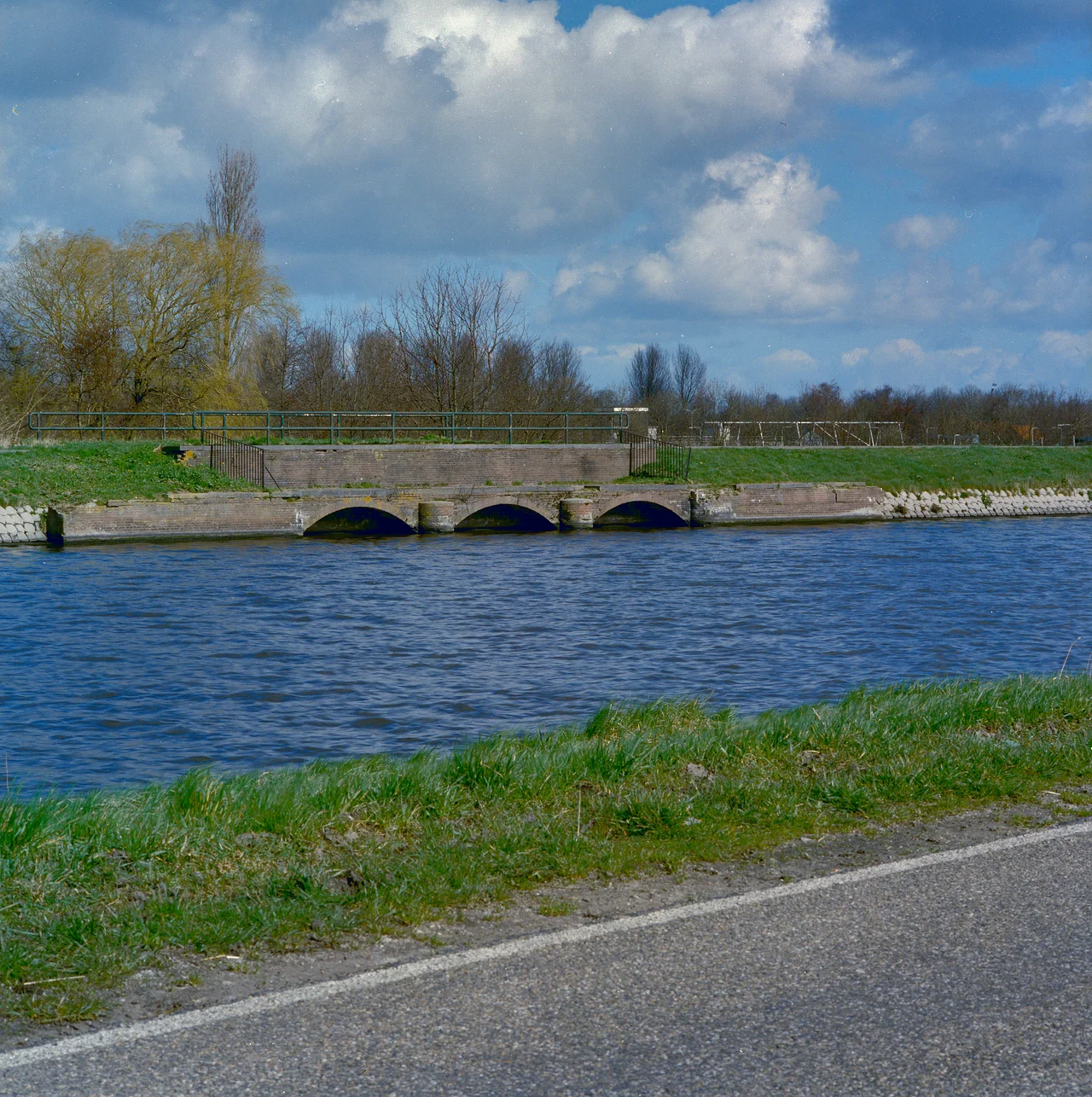
UNESCO inscribed the Beemster in 1999, citing it as a masterpiece of creative planning whose ideas spread through the Netherlands and on to drainage schemes from England to Russia. What seals the case is that the original grid is still the working grid. Drive any of the long straight roads today and the farms on either side sit on the same parcels their first owners bought in 1612. The polder is fully 3.5 metres below sea level. Pumps have replaced the windmills, but the water still has to leave; if it ever stopped leaving, the lake would come back inside a season.
From the Air
Coordinates 52.55°N, 4.93°E, roughly 20 km north of Amsterdam Schiphol (EHAM). The Beemster is unmistakable from cruising altitude - a perfect rectangle of regimented green about 7 km by 10 km, with the grid of roads and canals clearly visible even from FL300 in good visibility. The nearest general aviation field is Amsterdam Lelystad (EHLE) about 30 km east. Best viewed in late afternoon when low sun rakes across the canals and throws shadow lines along the dead-straight roads.
Nearby Stories
- 2008 Vintage Yachting Games 4.4 km away
- Museum Het Leids Wevershuis 7.2 km away
- Vechtstreek 8 km away
- 1973 Dutch Grand Prix 9.3 km away
- Lowlands Festival 10 km away
- HNLMS Johan Maurits van Nassau (1932) 11 km away
- Lemmer 13 km away
- Hoge Veluwe National Park 18 km away